
Trail Guides
PCT Washington: White Pass to Stevens Pass (Sections I and J)
Last updated:
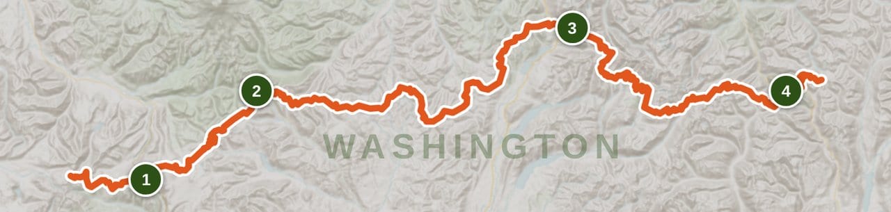
About 169 miles of Washington PCT, split at Snoqualmie Pass. Free permits, one resupply, and three things that decide the trip: fire closures, spring fords and two dry stretches.
 By Brooke18 min read
Share this post
Send it to someone who's planning a trip.
Overview
Why hike White Pass to Stevens Pass
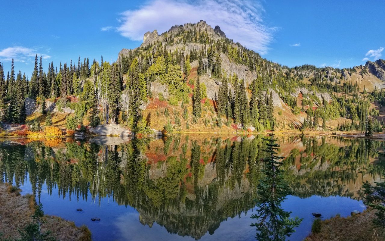
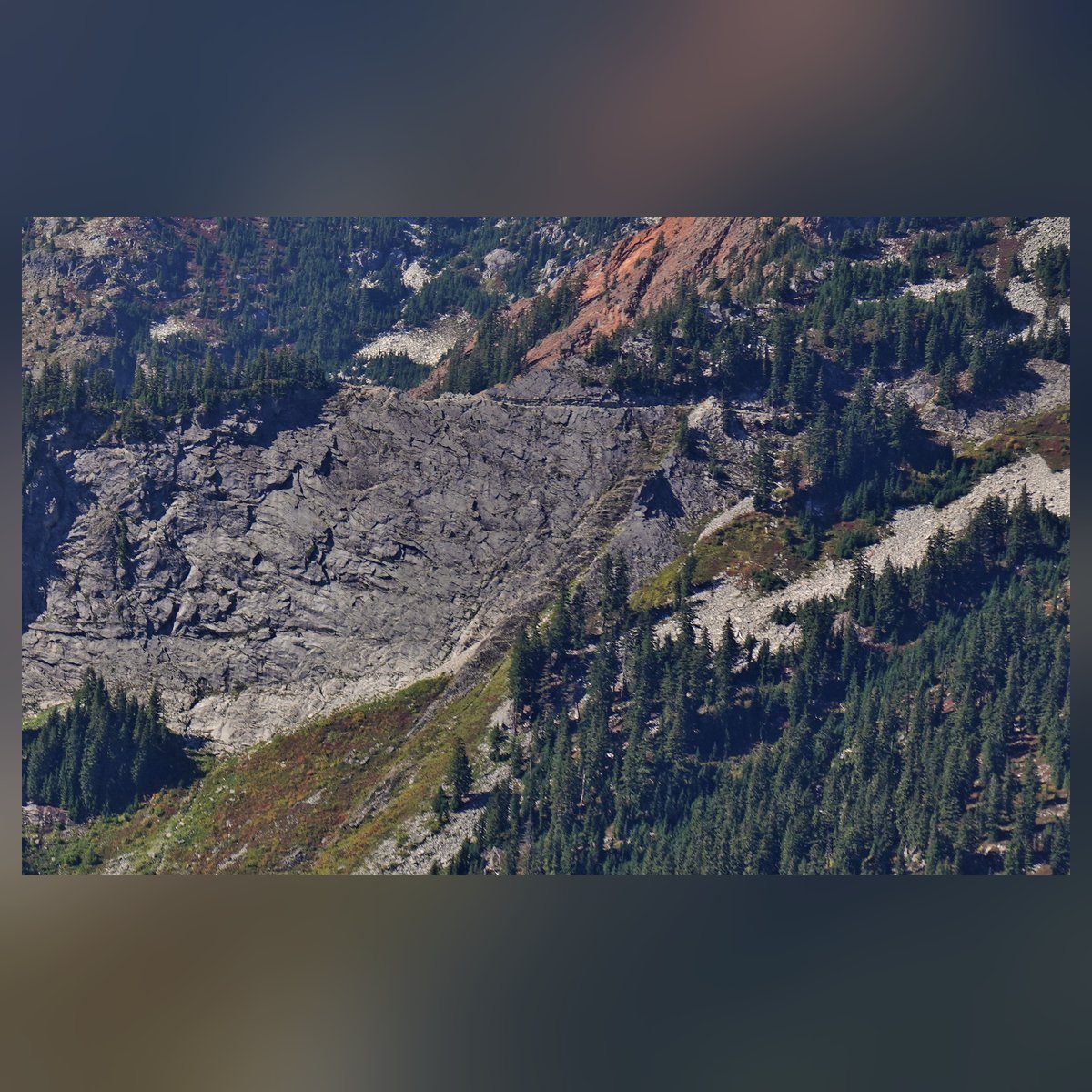
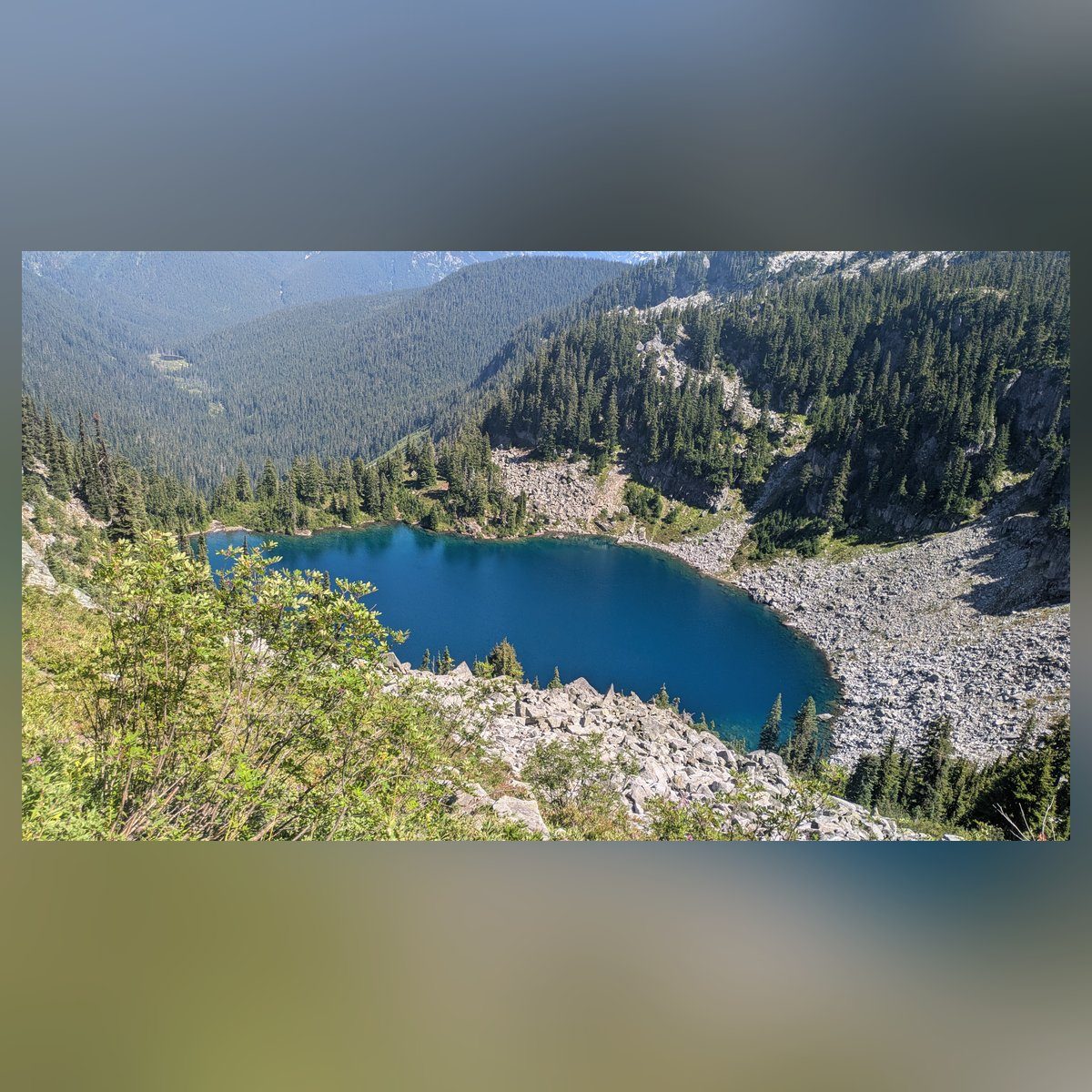
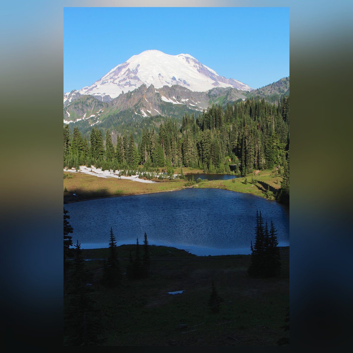
Two PCT sections, one resupply, and almost no paperwork. Section I covers 98 miles from White Pass to Snoqualmie Pass, past Mount Rainier's east edge, over Scout Pass (6,522 feet, the high point) and through a long middle stretch of forest roads and regrown clear-cuts. Section J runs about 69 to 75 miles from Snoqualmie Pass to Stevens Pass through the Alpine Lakes Wilderness: Kendall Katwalk, Spectacle Lake, Cathedral Rock, Deception Pass and a string of lakes near the end.
Here's the number I keep coming back to. WTA puts Section J at 16,000 feet of gain in 74.7 miles. That's about 214 feet of climbing for every mile. For Section I, WTA's two pages add to 13,660 feet in 91.3 miles, about 150 feet a mile. So the second half is the harder half, and it comes after your resupply, with a heavier food bag. A thru-hiking pair filmed by FunnestKnownTime managed 6 miles by 10:30 one morning on Section J's talus.
The catch is timing. Section J melts out late, its two worst fords run high in early summer, and from mid-July on the fire season can shut whole stretches. In 2026 it did.
At a glance
Trail at a glance
Days
8 to 16 (12 at 14 mi a day)
Permits
Free self-issue, no quota
Distance
~169 mi (166-172 by source)
Resupply
Snoqualmie Pass, mile ~98
Difficulty
Strenuous (WTA: Hard)
High point
6,522 ft, Scout Pass
Route type
Point to point, NOBO or SOBO
Best season
Late July to late September
Elevation gain
~29,700 ft (WTA)
When to go
When to hike
Late July through September is the window. June and early July mean snow on the high slopes, fast creeks and the worst mosquitoes; WTA warns that parts of Section J can stay impassable until well into August. August is dry and warm, which is also fire and smoke season (the 2026 fires started with a July 14 lightning storm, per PCT Washington). September brings cooler nights and thinner crowds after Labor Day. October is a gamble: NOAA's normals for Stampede Pass jump from 3.95 inches of rain in September to 9.00 in October, and the first inch of snow has landed anywhere from September 27 to November 11 over 2014 to 2025 (PCT Washington).
Permits & logistics
Permits & logistics
Permit
Wilderness self-issue permit
Alpine Lakes Wilderness asks every day and overnight visitor to fill one in and carry a copy (USFS Mt. Baker-Snoqualmie NF).
Permit
PCTA Long-Distance Permit
Section hikers don't need it. PCT Washington (updated April 28, 2026) says the only real camping permit on the Washington PCT is for North Cascades NP, north of this route.
Only if you camp in the park
Mount Rainier NP wilderness permit
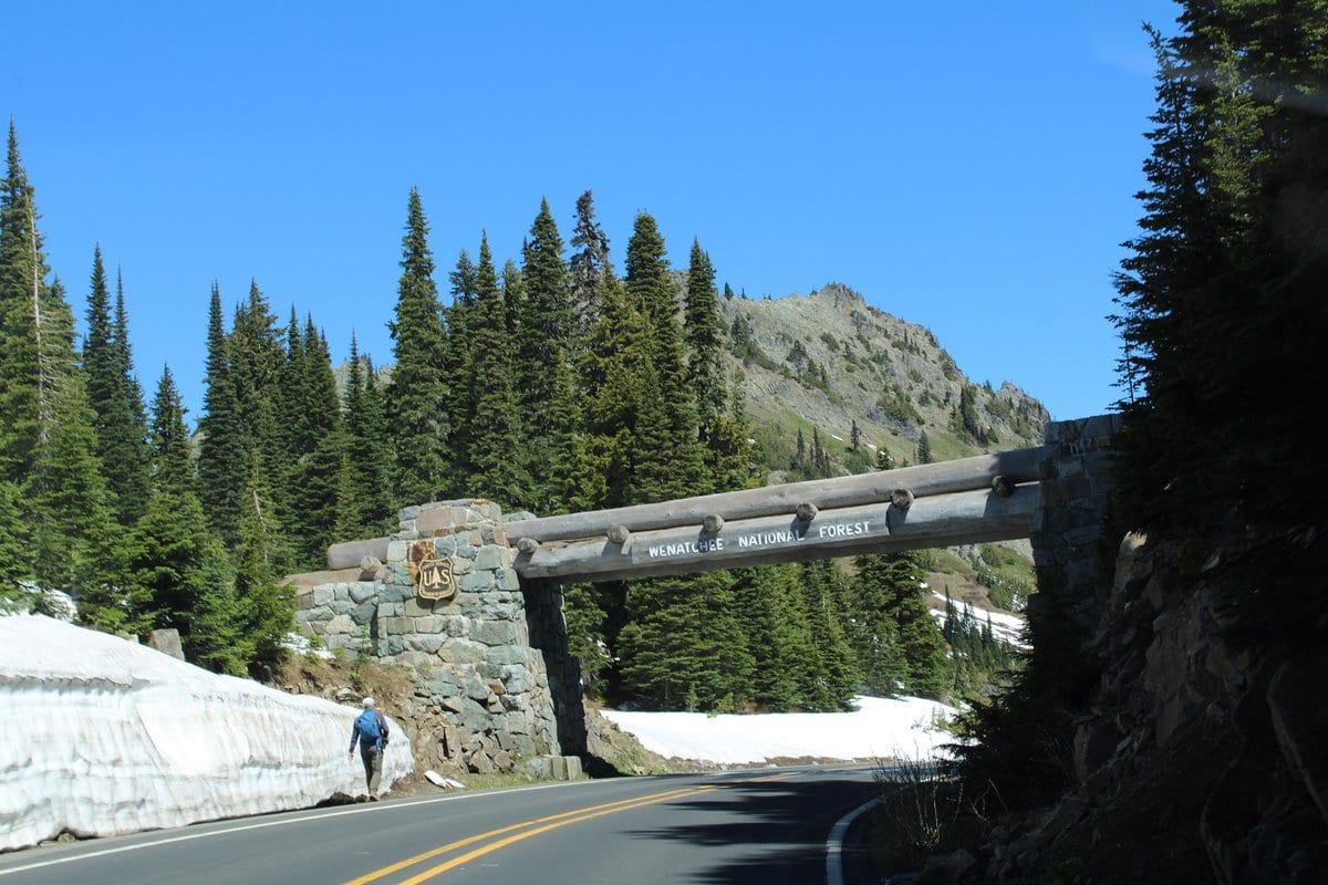
The PCT weaves in and out of the park's east edge from Chinook Pass to Laughingwater Creek. NPS says to camp on the adjacent national forest instead. Leashed dogs are allowed on the PCT there.
Rules
Alpine Lakes Wilderness (Section J)
The OWNF no-fire list includes Hope, Josephine, Deep, Glacier, Rachel and Spectacle lakes, year-round. On the MBS side, no fire where posted (USFS, checked October 17, 2026). Camp stoves are recommended everywhere.
Rule
Food storage order
No hard canister mandate, but a soft certified sack counts. PCT Washington (July 14, 2026) reports MBS does not accept the uncertified Berikade carbon can.
Pass
Trailhead parking
Day passes are $5 (NPS North Cascades fees page). Lot E rule from PCT Washington (updated July 1, 2026).
There's nothing to win or book here, which is rare for a 169-mile walk. The one trap is the park: between Crag Lake and Chinook Pass the trail ducks in and out of Mount Rainier National Park, and the park has no PCT campsites. Hikers filmed by Awol's Adventures in August 2026 camped just outside the boundary on purpose. Do the same and the park permit never comes up.
The short version, and who it suits
Who it's for: fit backpackers who've done several multi-night trips, can read a map without cell signal, can ford a creek and are fine with 13 to 21 mile days. Who should skip it: first-timers, and anyone who wants a loop. For a first trip, do White Pass to Chinook Pass (28 miles, four days at WTA's suggested 7 to 8 miles a day) and leave a car at each end.
The numbers, and whose they are. Every source I read measures this route a little differently:
| Source | Section I | Section J | Total |
|---|---|---|---|
| PCTA mile markers on PCT Washington's resupply page | 98 (2295 to 2393) | 71 (2393 to 2464) | 169 |
| PCT Washington access page | ends at mm 2467.3 | 172 | |
| WTA's three hike pages | 91.3 | 74.7 | 166.0 |
| My running count from PCT Washington's mile-by-mile pages | 98.0 | 69.2 | 167.2 |
This guide goes with about 169 miles, the PCTA marker figure, because that's what FarOut and the PCTA maps will show you. Gain: WTA's pages add to 29,660 feet. High point: Scout Pass, 6,522 feet (PCT Washington). WTA lists 6,900 feet for the White Pass leg, which I couldn't tie to any named point; PCT Washington puts that leg's top at 5,600 feet.
Not on this route: Goat Rocks, the Knife's Edge, Old Snowy and Cispus Basin. They're south of White Pass on Section H. If a guide lists them for White Pass to Stevens Pass, its boundary is wrong.
Wilderness areas crossed: William O. Douglas and Norse Peak on Section I, with the edge of Mount Rainier National Park between them, and the Alpine Lakes Wilderness on Section J.
Check before you go: closures and conditions
As of October 17, 2026:
- Section J is partly closed. The Three Queens Fire order (06-17-03-2026-45) closes the PCT from Ridge Lake to the Spinola Creek Trail #1365, plus the Spectacle Lake, Pete Lake, Waptus Pass and Cooper River trails, through October 31, 2026 unless rescinded sooner. The alert page was last updated October 16. Cle Elum Ranger District: 509-852-1100.
- The King Fire burned on the PCT from Spectacle Lake toward Pete Lake from August 19. PCT Washington reports the Delate Creek bridge (mm 2414.4) took some damage and its state is unknown. Plan for a hard crossing there until a land manager says otherwise.
- Campfire bans: Mt. Baker-Snoqualmie NF lifted its restrictions on September 15, 2026, and the Okanogan-Wenatchee NF lists its Stage 1 ban as terminated. The Alpine Lakes year-round limits above 5,000 feet and near named lakes still apply.
- Forest Road 41 is closed for timber work from September 29 to December 31, 2026 (MBS). WTA's driving directions to Tacoma Pass use FR 41, so check before you count on that exit.
Where to look, in this order:
- Okanogan-Wenatchee NF alerts and the Three Queens closure page
- Mt. Baker-Snoqualmie NF alerts
- Mount Rainier trail and camp conditions
- PCTA closures, the Forest Service PCT alerts page, and the PCTA interactive map's fire and snow layers
- AirNow for smoke, and InciWeb for fire detail
- PCT Washington's trail report and WTA trip reports for snow and blowdowns
- NRCS SNOTEL snow depth at White Pass Upper and Green Valley, for the three-week snow rule
One rule of my own for this route: if the closure page and a Facebook post disagree, the closure page wins. PCT Washington makes the same point, and in August 2026 many hikers read a PCTA alert as a closure before the actual closure order came out two days later.
Month by month, and how cold the nights get
| Month | Snow | Water | Bugs and crowds | Fire and smoke |
|---|---|---|---|---|
| June | High slopes snowbound; Section J melts last | Everywhere, creeks high | Mosquitoes start | Low |
| July | Usually clear by mid to late July; check the three-week rule | Plentiful, fords still high early | Worst mosquitoes; weekend crowds at Chinook Pass | Season opens (July 14 in 2026) |
| August | Clear | Seasonal sources start drying | Bugs fade; Sheep Lake and Mirror Lake busy | Peak; closures likely |
| September | Clear until late-month dustings | Driest; plan the gaps | Few bugs, fewer people after Labor Day | Still active early |
| October | First snow possible | Rain returns | Quiet | Usually over |
The nights, from NOAA. Stampede Pass sits right on the PCT at 3,959 feet, and NOAA's 1991-2020 normals give it these averages:
| Month | High (F) | Low (F) | Rain (in) |
|---|---|---|---|
| June | 59.6 | 43.3 | 3.30 |
| July | 68.2 | 49.6 | 1.29 |
| August | 69.0 | 51.0 | 1.56 |
| September | 62.7 | 46.7 | 3.95 |
| October | 49.3 | 37.8 | 9.00 |
Most camps on this route are higher, 4,500 to 6,400 feet. Using the standard lapse rate of about 3.5 degrees F per 1,000 feet, a camp at 6,000 feet runs roughly 7 degrees colder than the station: lows near 44 in August, 40 in September and 31 in October. Real nights swing further. PCT Washington logged 35 to 38 degree mornings in July 2026 and 34 degrees on August 29.
What that means for your sleep system: for late July and August, a 30 degree F quilt is enough only for warm sleepers; a 20 degree F bag gives more margin, and it's the one to pack from September on. Pair it with a pad around R 4 in September and October. I compared options in best ultralight sleeping bags and best backpacking quilts; the NeoAir XLite NXT is rated R 4.5 by Therm-a-Rest.
And one sum I like: October's 9.00 inches of rain is seven times July's 1.29. That's the whole case for going in late summer, in two numbers.
Mile by mile, direction and itineraries
How the miles count: northbound from the White Pass trailhead. I built the running count from PCT Washington's mile-by-mile pages plus WTA's segment lengths (Naches Pass to Snoqualmie). PCTA mile markers (mm) appear where PCT Washington prints them; they come from a different measurement, so they run up to about 4 miles off my count. Use them to match FarOut.
| Mile | Point | Water, camp, road, hazard |
|---|---|---|
| 0 | White Pass, US-12 | Kracker Barrel 0.5 mi west |
| 6.8 | Pipe Lake | Water, camps |
| 12.9 | Bumping River (mm 2312) | Logs; high in spring |
| 16.2 | Crag Lake outlet | Water, camps |
| 17 to 22 | Mount Rainier NP edge | No PCT camps in the park |
| 24.7 | Dewey Lakes | Water, camps |
| 27.6 | Chinook Pass, SR 410 | Road; busy trailhead |
| 29.4 | Sheep Lake | Water, camps; carry 6 mi |
| 32.7 | Bear Gap (mm 2332.2) | Exit to Crystal Mountain |
| 36.8 | Scout Pass, 6,522 ft | High point |
| 37.8 | Big Crow Basin | Water |
| 40.6 | Martinson Gap | Dry camp |
| 50.4 | Government Meadow, Naches Pass | Water, cabin, roads |
| 66.8 | Tacoma Pass, FR 52 | Road; little water either side |
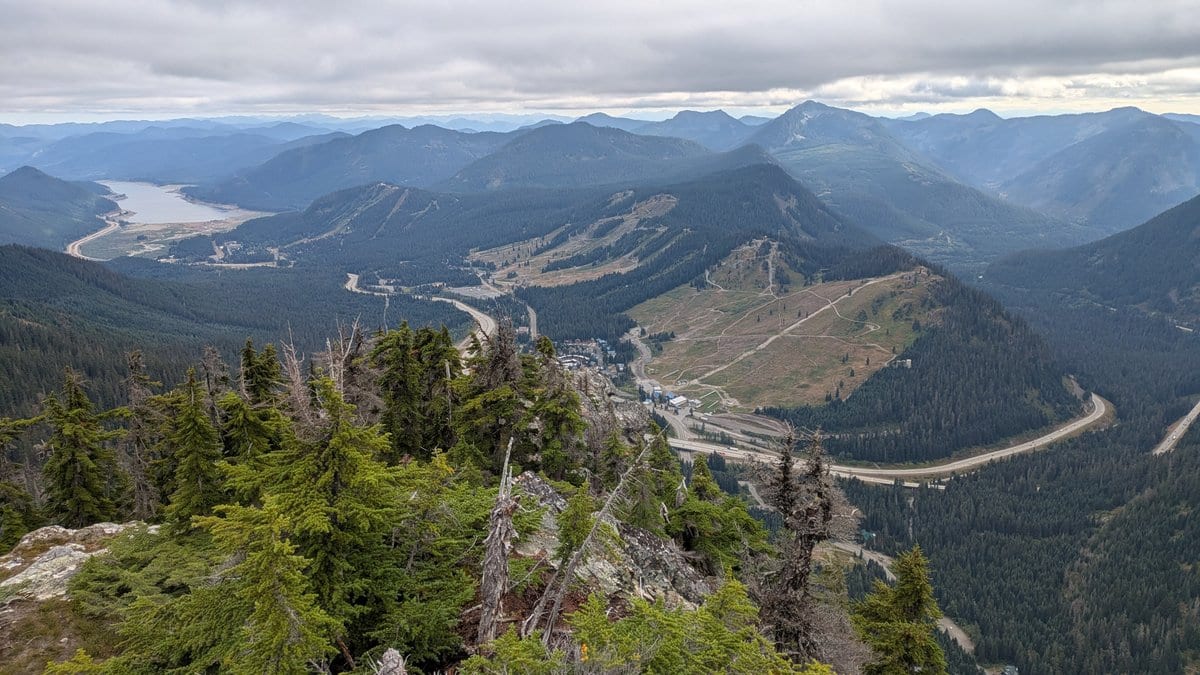
| 77.4 | Stampede Pass, FR 54 | Road, 5 mi to I-90 exit 62 |
| 81.4 | Stirrup Lake | Water, camps |
| 89.4 | Windy Pass | Road (FR 9070) nearby |
| 98.0 | Snoqualmie Pass, I-90 | Resupply |
| 103.8 | Kendall Katwalk | Exposed ledge |
| 104.9 | Ridge and Gravel lakes (mm 2403.5) | Camps; start of 7.6 mi dry |
| 115.2 | Delate Creek bridge (mm 2414.4) | Fire-damaged in 2026 |
| 117.6 | Lemah Creek (mm 2417) | Ford |
| 125.1 | Head of Cooper River | No camping |
| 131.5 | Waptus River (mm 2431) | Ford; camps |
| 138.5 | Deep Lake | Water |
| 141.2 | Cathedral Pass (mm 2441) | Exit trail |
| 144.6 | No-Name Creek (mm 2444.35) | Spring ford |
| 146.2 | Deception Pass (mm 2446) | Exit trail |
| 153.7 | Glacier Lake | Water, camps |
| 159.2 | Hope Lake (mm 2459.2) | Exit, 1.35 mi to Tunnel Creek TH |
| 167.2 | Stevens Pass, US-2 | Bus stop, resort |
Direction: go northbound, for three reasons. Section J melts out last, so starting in the south gives its snow and fords a week or more of extra time. You walk toward Rainier on the first leg, which is why WTA recommends south to north there. And you finish at Stevens Pass, the one trailhead here with a bus. Southbound saves about 1,016 feet of gain on Section J (PCT Washington), under 5 percent, and makes sense if you're taking the bus in.
Itineraries (northbound, camps named):
| Night | 8 days (~21 mi a day) | 12 days (~14 mi a day) |
|---|---|---|
| 1 | Dewey Lakes (24.7) | Crag Lake (16.2) |
| 2 | Government Meadow (50.4) | Sheep Lake (29.4) |
| 3 | Near Stampede Pass (77.4) | Martinson Gap, dry (40.6) |
| 4 | Snoqualmie Pass (98.0) | Government Meadow (50.4) |
| 5 | Spectacle Lake area (114.4) | Tacoma Pass (66.8) |
| 6 | Deep Lake (138.5) | Stirrup Lake (81.4) |
| 7 | Glacier Lake (153.7) | Snoqualmie Pass (98.0) |
| 8 | Out at Stevens Pass | Ridge Lake (104.9) |
| 9 | Spectacle Lake area (114.4) | |
| 10 | Waptus River (131.5) | |
| 11 | Deception Lakes (149.9) | |
| 12 | Out at Stevens Pass |
The 8-day plan is thru-hiker pace: Awol's group did Section I in 5 days at about 20 miles a day in August 2026, and FunnestKnownTime's pair did Section J in about 3.5. In 2026 the Spectacle Lake nights fall inside the closure. Day hikes on the route: Sheep Lake (3.6 mi round trip, 400 ft), Sourdough Gap (6.0 mi, 1,100 ft), Kendall Katwalk (12.0 mi, 2,600 ft), Mirror Lake via the PCT (7.0 mi, 1,180 ft) and Spectacle Lake from the Pete Lake trailhead (22.0 mi, 1,500 ft, inside the 2026 closure), all WTA figures.
Getting there, the night before, signal and bail-outs
Without a car (PCT Washington, updated March 26, 2026):
- Stevens Pass: the Northwestern Stage Lines route, sold as Greyhound and Amtrak, stops twice a day at Stevens Pass between Seattle and Leavenworth. It's one of only three PCT trailheads in Washington you can reach by transit alone. When I checked October 17, 2026, the operator's booking page showed no Seattle to Leavenworth schedule, so confirm before you go.
- Snoqualmie Pass: no public transport in 2026; the ToTheMountain shuttle ended and Greyhound doesn't stop. Meet a ride in Issaquah, Factoria or North Bend, which King County Metro reaches.
- White Pass: Lewis County Transit gets you to Packwood (Brown Route to Morton, then Brown East), still 20 miles short. The Packwood Trail Project sometimes runs a shuttle, as it did in August 2025.
- Shuttles: I found no commercial shuttle for these trailheads. People post ride requests in the PCT Washington Trail Angels Facebook group, or leave a car at each end.
The night before: White Pass has the White Pass Village Inn next to the Kracker Barrel ((509) 672-3131), and Packwood has more. At Snoqualmie Pass, the Summit Inn is beside the PCT. Stevens Pass has no lodging; Skykomish is 16 miles west and Leavenworth is east. Parking: a Northwest Forest Pass or America the Beautiful pass at the trailheads, and at Stevens Pass only Lot E allows overnight parking.
Phone signal: expect almost none between the passes. PCT Washington reports signal at White Pass until about the Dog Lake trail junction, a view spot 1.75 miles south of Chinook Pass with line of sight to a Packwood tower, and good signal from the top of the Stevens Pass chairlift. Podcast hikers in 2025 said they had none for most of Section I. Check your carrier on the FCC National Broadband Map, and carry a satellite messenger; I covered one in the Garmin inReach Mini 3 review.
Bail-outs, south to north: Chinook Pass (SR 410); Bear Gap or the Bullion Basin Trail to Crystal Mountain (2.66 miles down); Government Meadow and Pyramid Pass forest roads; Tacoma Pass (FR 52); Stampede Pass (FR 54, about 5 miles to I-90); Snoqualmie Pass. On Section J: the Pete Lake, Waptus and Cathedral Pass trails (inside the 2026 closure or near it), Deception Pass to Tucquala Meadows (4.55 miles), the Surprise Creek Trail (3.7 miles) and the Tunnel Creek Trail from Hope Lake (1.35 miles), all from PCT Washington's access page.
Resupply, water and what it costs
Snoqualmie Pass boxes, settled. The open question from my last check was whether anyone at Snoqualmie Pass holds hiker boxes. Two places do. The Summit Inn's own site says it holds a PCT supply box for a fee listed at $15 (Summit Inn, checked October 17, 2026), with the first box free if you book a room. PCT Washington (updated July 1, 2026) adds that the Summit Chevron, which is also the post office, holds boxes for a fee listed at $10 (PCT Washington, July 2026). Write Snoqualmie Pass, WA 98068 on the label. Snoqualmie, WA is a different town 26 miles away.
Box rules for the other ends: White Pass boxes go to the Kracker Barrel's rural post office (48851 US Hwy 12, Naches, WA 98937). Stevens Pass takes UPS or FedEx only, not USPS, with free pickup at the Seasons Pass Office. Halfway Anywhere's 2025 survey found 32 percent of thru-hikers recommend a box at Snoqualmie Pass and 28 percent at White Pass, and calls Washington the hardest state to resupply from local stores.
Water, in one line: abundant except Chinook Pass to Naches Pass, the 8.8 miles north of Government Meadows, and the 7.6-mile ridge north of Ridge Lake. Treat everything, and wash hands with soap at every pit toilet and cabin.
What it costs, the fixed part, for one person:
| Item | Cost |
|---|---|
| Wilderness permits | Free |
| Northwest Forest Pass, annual | Listed at $30 (USFS Region 6, October 2026) |
| Box at Snoqualmie Pass | Listed at $15 at the Summit Inn (Summit Inn, October 2026), free with a room |
| Box at White Pass | From 5 dollars |
| Shower at White Pass | 8 dollars |
| Mount Rainier park permit | Zero, if you camp outside the park |
That's 58 dollars before food, the trip to the trailhead and a night in a room. Food is the big line; price it from your own list for 8 to 16 days.
Gear, food and books for this route
Gear, tied to what this trail does to you:
- A satellite messenger, because signal is gone for most of Section I and fire news travels by text. The pick card below covers the one I reviewed.
- A sleep system for 35 degree nights (see the month table above).
- A certified bear sack or canister, because both national forests require one or a proper hang, and PCT Washington's author says a 10 by 4 hang is close to impossible in Washington's trees. Compare them in best bear canisters.
- A filter and a backup. The Sawyer Squeeze is the common pick; carry tablets or a stove plan too, for boil advisories.
- A sun hoodie for the burn zones north of Chinook Pass, where FunnestKnownTime's hikers fought September heat. See best sun hoodies.
- A stove, since Alpine Lakes bans fires above 5,000 feet; see best lightweight stoves.
- Fresh shoes. Rocky tread blew out a podcast host's trail runners around Chinook Pass in 2025.
Food for these conditions:
- How many days: 5 to 8 out of White Pass and 3.5 to 6 out of Snoqualmie. WTA says Section J alone takes six or seven days of food at a normal pace, and FunnestKnownTime's pair found 3 days tight at 20-plus miles a day.
- Calories: Halfway Anywhere's 2025 survey respondents aim for 100 or more calories per ounce. Section J's 214 feet of climbing a mile burns more than the numbers on a flat day suggest.
- Cold and wet: a hot dinner matters in September. PCT Washington's author cooks at about 3 PM near water, then walks on, which also saves carrying cooking water to a dry camp.
- Storage: everything with a smell goes in the certified sack or can, including trash, sunscreen and toothpaste.
- Food nearby: the Summit Pancake House at the Summit Inn, Lee's Grocery's pizzeria and Laconia Market at Snoqualmie Pass; the Kracker Barrel at White Pass; Skykomish's cafe and Leavenworth past Stevens Pass.
Books and maps:
- National Geographic PCT Topographic Map Guides, Washington South (Cascade Locks to Snoqualmie Pass, so all of Section I) and Washington North (Snoqualmie Pass to Canada, so Section J). The two split exactly at this route's midpoint.
- Green Trails: No. 303 White Pass and No. 271 Bumping Lake for the south end (WTA's list), No. 207 Snoqualmie Pass for about Stampede Pass to Lemah Creek, and No. 176 Stevens Pass for the Escondido Tarns to the pass.
- Pacific Crest Trail: Oregon and Washington (Schaffer and Selters, Wilderness Press), the guidebook WTA recommends for Section J, and Hiking the Pacific Crest Trail: Washington (Tami Asars, Mountaineers Books).
- FarOut for live water comments, and PCT Washington (pctwashington.com) for the mile-by-mile notes, fords and the 2026 season review I leaned on here.
What recent hikers report, and the mistakes
I watched three trail videos and listened to two podcasts with Gemini's help, and read PCT Washington's 2026 season review. Here's what they report, by date:
- August 10 to 14, 2026, Section I (Awol's Adventures): 98 miles in 5 days at about 20 a day. A dry camp on night one, a deliberate camp outside the Rainier boundary, a bear near the park, smoke near Snoqualmie Pass, and a fire closure north of the pass that ended the trip there.
- August 15, 2026 (KUOW's Seattle Now): fires had closed two big segments of the Washington PCT, and some hikers turned back at Stevens Pass in the smoke.
- 2025, Section I (the Yeti Walks Into Basecamp podcast, September 29, 2025): crowded camps at Sheep Lake and Mirror Lake, 27-mile days, no cell signal most of the way, and a norovirus outbreak at Snoqualmie Pass that closed a hostel for cleaning.
- September, year not stated, Section I (FunnestKnownTime): 99 miles in 4 days, mosquitoes right out of White Pass, unexpected heat, and a 10 to 11 mile water carry to avoid lakes under a health advisory.
- Late season, year not stated, Section J (FunnestKnownTime): about 3.5 days, 5,500 to 6,400 feet of climbing a day, slow scree and talus, and no mosquitoes.
- 2026 season (PCT Washington, October 16): low snow at Stevens Pass, a rockslide north of Josephine Lake, the Three Queens, King and Goat fires on Section J, and many nights below 35 degrees.
Mistakes people make here:
- Mailing to "Snoqualmie, WA". It's a different town 26 miles away.
- Sending USPS to Stevens Pass. The resort takes UPS or FedEx only.
- Planning a night in Mount Rainier National Park. There are no PCT camps there.
- Reading Section J's miles as easy miles. At about 214 feet of climbing a mile it isn't, and food runs short.
- Trusting a Facebook post over the closure order, in either direction.
- Relying on hand sanitizer in a norovirus year. The CDC authors say it doesn't work on norovirus.
- Assuming Washington means water everywhere. Three dry stretches say otherwise.
Next step: open the Okanogan-Wenatchee alert page for your dates, then the Summit Inn's box page if you're mailing food.
Trail breakdown
Trail breakdown
White Pass to Chinook Pass
Miles 0 to 27.6. Flat lake country to Fish Lake, then the climb to the crest. Pipe Lake (6.8) and Crag Lake (16.2) have water and camps; cross Bumping River at 12.9 on logs. The park stretch from about 17 to 22 has no camps, so plan for Dewey Lakes (24.7). WTA suggests four days at 7 to 8 miles for this leg alone.
Chinook Pass to Government Meadow (Naches Pass)
Miles 27.6 to 50.4. Sheep Lake (29.4) is busy; carry 6 miles of water to Big Crow Basin (37.8). Sourdough Gap is 6,396 feet and Scout Pass, at 36.8, is the route's high point at 6,522 feet. Martinson Gap (40.6) is a dry camp. Bail-outs to Crystal Mountain at Bear Gap and the Bullion Basin Trail. Ends at the Mike Urich Cabin, water at Meadow Creek.
Government Meadow to Stampede Pass
Miles 50.4 to 77.4. Forest roads cross at Pyramid Pass (51.6), Tacoma Pass (66.8) and Stampede Pass (77.4), and those are your exits. WTA counts about 8.8 miles with little water past Government Meadows and only a spring and a seasonal creek between Tacoma and Stampede passes (WTA, checked October 17, 2026).
Stampede Pass to Snoqualmie Pass
Miles 77.4 to 98.0. Stirrup Lake (81.4), Twilight Lake at Yakima Pass (83.4), then Mirror and Cottonwood lakes, which podcast hikers in 2025 found crowded with base campers. FunnestKnownTime's hikers described the last 40 or so miles into Snoqualmie as active logging country. Windy Pass is at 89.4, then the ski runs down to I-90.
Snoqualmie Pass to Lemah Creek
Miles 98.0 to 117.6. A long climb to Kendall Katwalk (103.8) and Ridge and Gravel lakes (104.9), where most people camp. Then the longest dry stretch in Section J, 7.6 miles under Alaska Mountain and Chikamin Peak. In 2026 everything past Ridge Lake is inside the fire closure. Lemah Creek is a ford; the bridge washed out in 2009.
Lemah Creek to Deception Pass
Miles 117.6 to 146.2. No camping at the head of the Cooper River (125.1), a sensitive area. Ford the Waptus River (131.5; PCT Washington reports the bridge gone before spring 2026), the lowest point at 3,365 feet. Climb past Deep Lake (138.5) and around Cathedral Rock to Cathedral Pass (141.2). No-Name Creek (144.6) is the spring ford to respect.
Deception Pass to Stevens Pass
Miles 146.2 to 167.2. Deception Lakes (149.9, known for bugs), Pieper Pass at 5,890 feet, Glacier Lake (153.7), Trap Lake, Hope and Mig lakes, then Lake Susan Jane. PCT Washington reports a rockslide across the trail north of Josephine Lake (mm 2462.7) that wasn't repaired in 2026. Phone signal returns at the top of the Stevens Pass chairlift.
Highlights
What you’ll remember
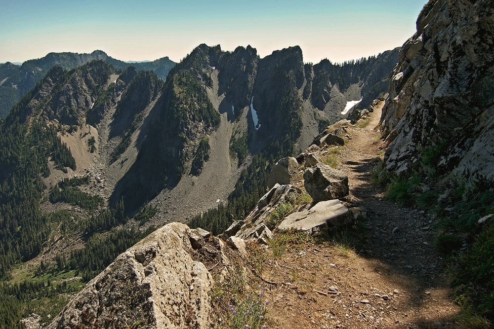
Kendall Katwalk
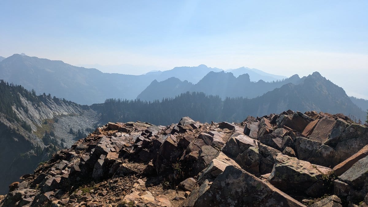
A ledge blasted across a granite face about 6 miles north of Snoqualmie Pass. PCT Washington says it opened in 1976.
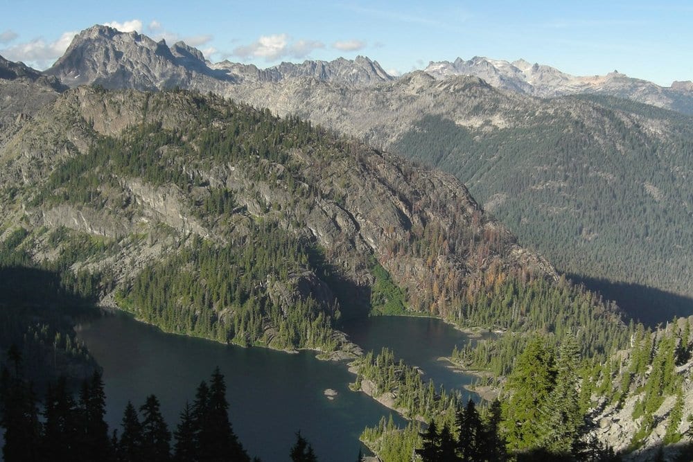
Spectacle Lake
A granite-rimmed lake below Chikamin Ridge, about 16 miles north of Snoqualmie Pass. No-campfire lake; closed by the 2026 fire order.
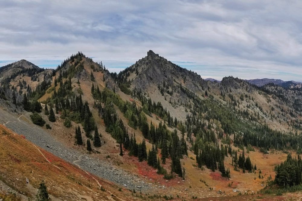
Sheep Lake and Sourdough Gap
Sheep Lake sits 1.8 miles north of Chinook Pass; Sourdough Gap, at 6,396 feet, is just above it. Both are busy day hikes from SR 410.
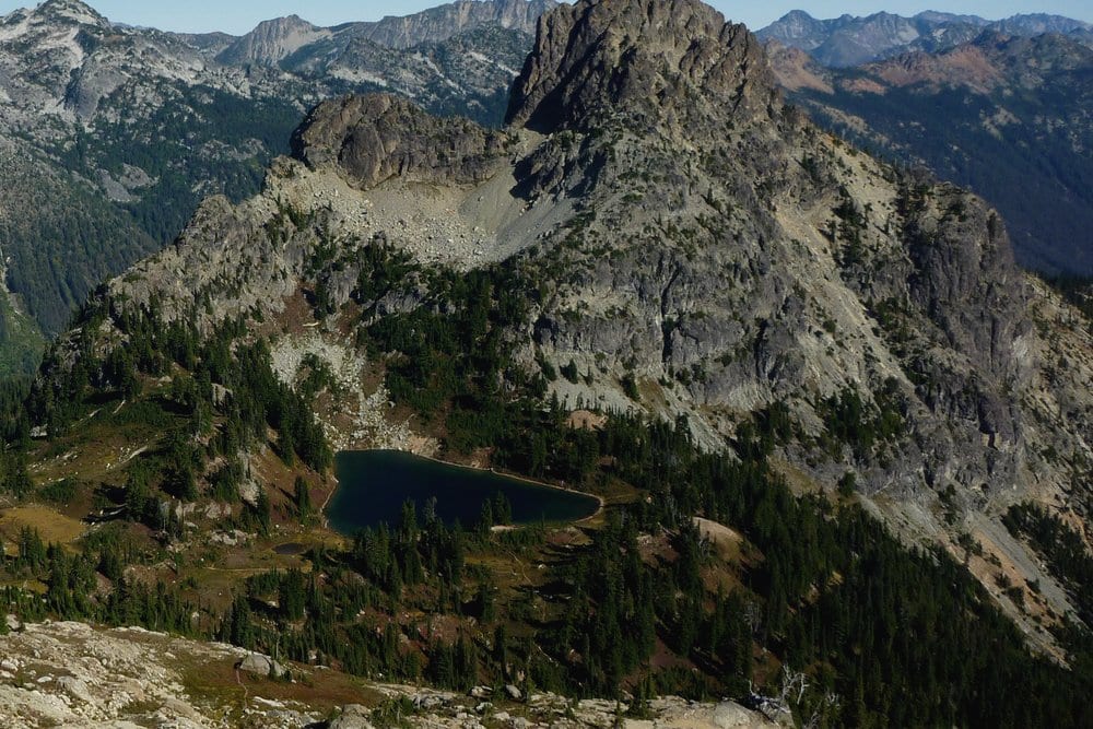
Cathedral Rock and Deep Lake
The PCT climbs around Cathedral Rock to Cathedral Pass, mile 141 of this route, with Deep Lake below to the south.
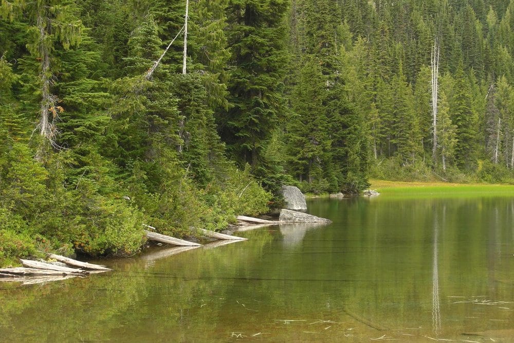
Deception Lakes Basin
Deception Lakes, about 17 miles south of Stevens Pass. PCT Washington notes they're known for bad bugs.
Hazards & safety
Hazards to plan for
Fire closures (2026: Section J closed in part)
USFS order 06-17-03-2026-45 closes the PCT from Ridge Lake to the Spinola Creek Trail through October 31, 2026 unless rescinded sooner (OWNF alert, checked October 17, 2026). Closure orders are enforceable, with fines. The rule: check the OWNF and MBS alert pages and the PCTA closures page the night before you start, and have someone text you updates on trail. Garmin users can text 765-553-4737 for the nearest fire and air quality (PCT Washington).
Fords: Lemah, Waptus, No-Name
Lemah Creek (mm 2417) lost its bridge in 2009; when it's high, take the lower Lemah alternate, only 0.07 miles longer. The Waptus River (mm 2431) is a ford since its bridge washed out. No-Name Creek above Hyas Lake (mm 2444.35) runs between rock walls; if it looks wrong, take the Cathedral Pass and Deception Pass trails around Hyas Lake, 8.67 miles, 3.79 more than the PCT. Cross early, when snowmelt creeks run lowest (PCT Washington, July 12, 2026).
Snow: the three-week rule
PCT Washington's rule of thumb: the trail is usually safe without snow gear about three weeks after the near-trail SNOTEL sensors read zero, including White Pass Upper (5,800 ft) and Green Valley (6,230 ft). Section J is among the last parts of Washington to melt. If you carry only one snow tool, make it an arrest tool, not just traction. In 2011 the trail wasn't clear until August 1.
Falls on exposed tread
Falling off the trail is the leading cause of death and injury on the Washington PCT, and the last death, in 2018, was a fall just south of Kendall Katwalk (PCT Washington). Alaska Mountain's south slope is narrow above a 2,365-foot drop to Gold Creek. Don't do the Katwalk or Alaska Mountain on snow without an axe and the skill to use it.
Two long dry stretches
Chinook Pass to Naches Pass has few year-round sources: carry 6 miles of water from Sheep Lake and treat Martinson Gap as a dry camp. North of Government Meadows WTA counts about 8.8 miles with little water. On Section J the ridge from Ridge Lake past Alaska Mountain is 7.6 miles dry. Awol's group made an unplanned dry camp south of Chinook Pass in August 2026.
Norovirus at the passes
A 2022 CDC investigation tied an outbreak among Washington PCT hikers to a 73-mile stretch, with fecal contamination on surfaces in a rest-stop cabin and pit latrines (the stream tested clean). Podcast hikers reported another wave at Snoqualmie Pass in 2025. The CDC authors note alcohol hand sanitizer doesn't work on norovirus: wash with soap and water, skip open trail-magic bowls, and don't share pots or pens.
Cold, wet nights
NOAA's 1991-2020 normals for Stampede Pass (3,959 ft) give September lows of 46.7 degrees F and October lows of 37.8. Camps at 5,500 to 6,400 feet run colder than that. PCT Washington logged many nights below 35 degrees even inside the best 2026 window, and 34 degrees on August 29. Pack a real rain shell and dry sleep clothes.
Smoke
Smoke can reach you from fires you'll never see. Awol's group coughed through it near Snoqualmie Pass in August 2026, and KUOW reported hikers turning back at Stevens Pass in August 2026. Carry a clean N95 (PCT Washington's advice) and check AirNow before each leg.
Resupply
Resupply points
| Stop | Mile | Services | Days to next |
|---|---|---|---|
| White Pass (Kracker Barrel) | 0 | Store and rural post office, open 8-6 daily; box fee from $5. Laundry listed at $10 (PCT Washington, July 2026); showers $8. | 5 to 8 days (98 mi) |
| Packwood (off route, 20 mi west) | 0 + 20 off trail | Groceries, lodging; Lewis County Transit via Morton | |
| Chinook Pass, SR 410 | 27.6 | No services; trailhead only | |
| Snoqualmie Pass, Summit Inn | 98 | Holds PCT boxes, listed at $15 (Summit Inn, October 17, 2026); first box free with a room reservation. 603 State Route 906, (425) 434-6300. | 3.5 to 6 days (69 to 75 mi) |
| Snoqualmie Pass, Summit Chevron | 98 | Also the post office; box hold listed at $10 (PCT Washington, July 2026). 521 State Route 906, 6AM-10PM, (425) 434-6688. Lee's Grocery and Laconia Market nearby. | 3.5 to 6 days |
| Stevens Pass resort | 167.2 | UPS or FedEx only, no USPS. Free pickup at the Seasons Pass Office, 9-6. No lodging. | |
| Skykomish (16 mi west on US-2) | 167.2 + 16 off trail | Sky Gas and Grocery; Cascadia Hotel showers for PCT hikers listed at $15 (PCT Washington, July 2026) |
White Pass (Kracker Barrel)
- Mile
- 0
- Services
- Store and rural post office, open 8-6 daily; box fee from $5. Laundry listed at $10 (PCT Washington, July 2026); showers $8.
- Days to next
- 5 to 8 days (98 mi)
Packwood (off route, 20 mi west)
- Mile
- 0 + 20 off trail
- Services
- Groceries, lodging; Lewis County Transit via Morton
Chinook Pass, SR 410
- Mile
- 27.6
- Services
- No services; trailhead only
Snoqualmie Pass, Summit Inn
- Mile
- 98
- Services
- Holds PCT boxes, listed at $15 (Summit Inn, October 17, 2026); first box free with a room reservation. 603 State Route 906, (425) 434-6300.
- Days to next
- 3.5 to 6 days (69 to 75 mi)
Snoqualmie Pass, Summit Chevron
- Mile
- 98
- Services
- Also the post office; box hold listed at $10 (PCT Washington, July 2026). 521 State Route 906, 6AM-10PM, (425) 434-6688. Lee's Grocery and Laconia Market nearby.
- Days to next
- 3.5 to 6 days
Stevens Pass resort
- Mile
- 167.2
- Services
- UPS or FedEx only, no USPS. Free pickup at the Seasons Pass Office, 9-6. No lodging.
Skykomish (16 mi west on US-2)
- Mile
- 167.2 + 16 off trail
- Services
- Sky Gas and Grocery; Cascadia Hotel showers for PCT hikers listed at $15 (PCT Washington, July 2026)
Packing checklist
What to pack
Shelter
Sleep
Carry
Water
Cook
Wear
Safety and nav
Retailer links on this page are affiliate links. We may earn a commission if you buy, and your price doesn't change. How affiliate links work →
Gear spotlights
What we’re recommending
For the no-signal miles
Satellite messenger
Garmin inReach Mini 3
Most of Section I has no cell signal, and fire closures move fast. The inReach Mini 3 sends texts and an SOS over satellite, so a friend can relay closure news. My review covers plans and battery.
Frequently asked
Quick answers
Do I need a permit to hike the PCT from White Pass to Stevens Pass?
No booked permit. Fill in the free self-issue wilderness permit at the trailhead. Thru-hikers going 500 or more miles carry the free PCTA Long-Distance Permit. If you camp inside Mount Rainier National Park you'd need a park permit, but the park has no PCT campsites, so camp on the national forest side.
Is the PCT between Snoqualmie Pass and Stevens Pass open?
Not all of it in fall 2026. As of October 17, 2026, USFS order 06-17-03-2026-45 closes the PCT from Ridge Lake to the Spinola Creek Trail through October 31, 2026 unless rescinded sooner. Check the Okanogan-Wenatchee alerts page for your dates.
Can I mail a resupply box to Snoqualmie Pass?
Yes. The Summit Inn holds PCT boxes for a fee (first box free with a room), and PCT Washington reports the Summit Chevron, which is also the post office, holds them too. Label it Snoqualmie Pass, WA 98068, not Snoqualmie, WA.
Is it safe to hike this section of the PCT solo?
Many people do, and PCT Washington notes no PCT hiker in Washington has ever reported a wild animal attack. The real risks are falls on exposed tread, creek crossings and fire. Carry a satellite messenger, leave your plan with someone, and wait for another hiker at a ford that gives you pause.
Do I need a bear canister on the PCT in Washington?
Not a hard canister, but both national forests require an IGBC-certified container or a hang 10 feet up and 4 feet out. A certified soft sack counts. Most hikers carry a sack because good hanging trees are hard to find here.
How many days does White Pass to Stevens Pass take?
About 8 days at thru-hiker pace (around 21 miles a day) and 12 days at 14 miles a day. Section J is the slower half, at about 214 feet of climbing per mile by WTA's numbers.
Get one honest gear take every Friday.
One email a week: new reviews, one gear pick with my reasoning, and nothing sponsored. Confirm your address and you get my printable 2-page backpacking gear checklist.
You'll get a confirmation link first, and nothing else arrives until you click it. Every email has a one-click unsubscribe. How your email is handled
More from Trail Guides
Appalachian Trail: A Backpacker's Full-Trail Planning Guide
Full-trail planning guide for the Appalachian Trail's 2,190+ miles from Georgia to Maine. Permits, ten contiguous sections, resupply, transport, gear, budget, and Helene recovery.
 Brooke Wilder
22 min read
Brooke Wilder
22 min read
John Muir Trail: A Safety-First Planning Guide
Plan the John Muir Trail with verified permit, resupply, weather, altitude, and safety guidance for a Sierra thru-hike.
Brooke Wilder
29 min read
Lost Coast Trail Backpacking Guide
A tide-first guide to the Lost Coast Trail from Mattole Beach to Black Sands Beach, with permits, hazards, and route-planning basics.
Brooke Wilder
28 min read
Why trust BestForBackpacking
Honest gear advice for backpackers, researched, weighed, and recommended.
Every pick is based on deep research: a synthesis of long-term owner reports, independent reviewer tests, and manufacturer specs, weighted by source independence, specificity, and use-case match. Brooke Wilder is our gear editor, the editorial persona who turns that research into a clear recommendation.