
Trail Guides
Lost Coast Trail Backpacking Guide
Last updated:
 By Brooke3 min read
Share this post
Send it to someone who's planning a trip.
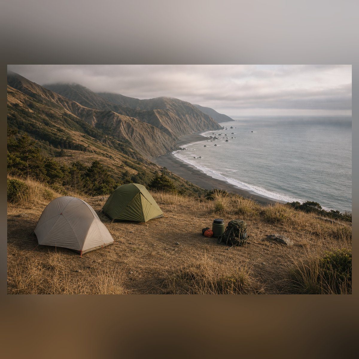
Overview
Start With The Tide
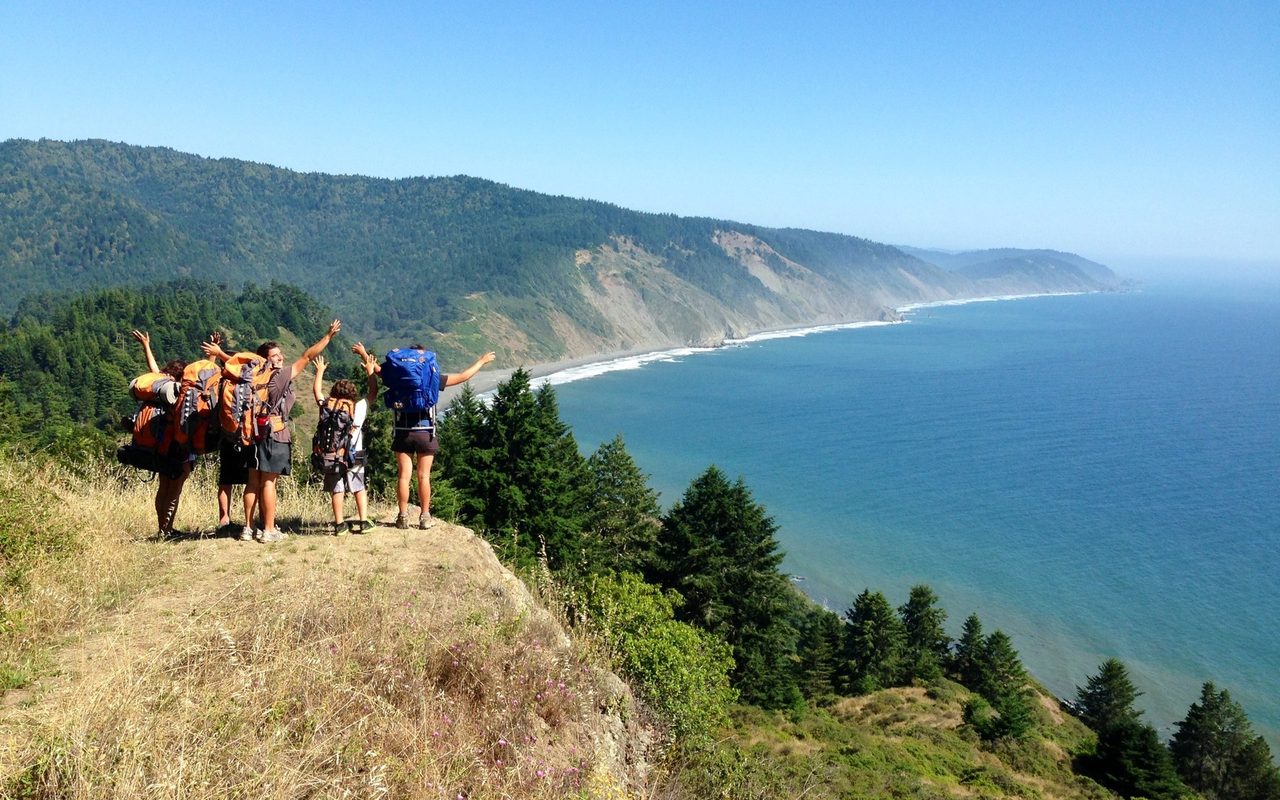
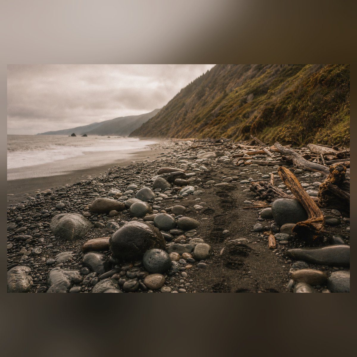
Most hikers walk south from Mattole Beach to Black Sands Beach after leaving a vehicle or shuttle at Shelter Cove. BLM lists the northern section at 24.6 miles and recommends at least three days. The route is moderately level on paper, but sand, rounded rock, creek crossings, wind, and tide timing make the effort feel slower than the mileage suggests.
At a glance
Trail at a glance
Route
Mattole Beach to Black Sands Beach
Permit
King Range overnight permit
Distance
24.6 miles
Main risk
Tide-locked beach sections
Bear storage
Hard-sided canister required
Typical time
3-4 days
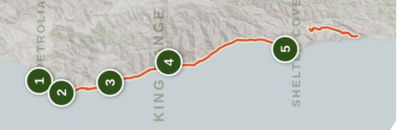
Permits & logistics
Permits & logistics
Permit
You need an overnight permit year-round for the King Range Wilderness. Book on Recreation.gov up to 90 days out; new dates open daily at 7:00 a.m. Pacific. Each permit covers up to 3 people. It costs $6 per permit plus a Special Area Fee listed at $12 per adult per trip (Recreation.gov, checked October 17, 2026). (Recreation.gov, checked October 17, 2026)
Permit
Daily starts are capped at 60 people May 15 to September 15 and 30 people September 16 to May 14. You must start on the exact date on your permit. Walk-up permits for up to 3 people go by lottery at the King Range Visitor Center, Monday to Saturday at 8:00 a.m. (Recreation.gov, checked October 17, 2026)
Permit
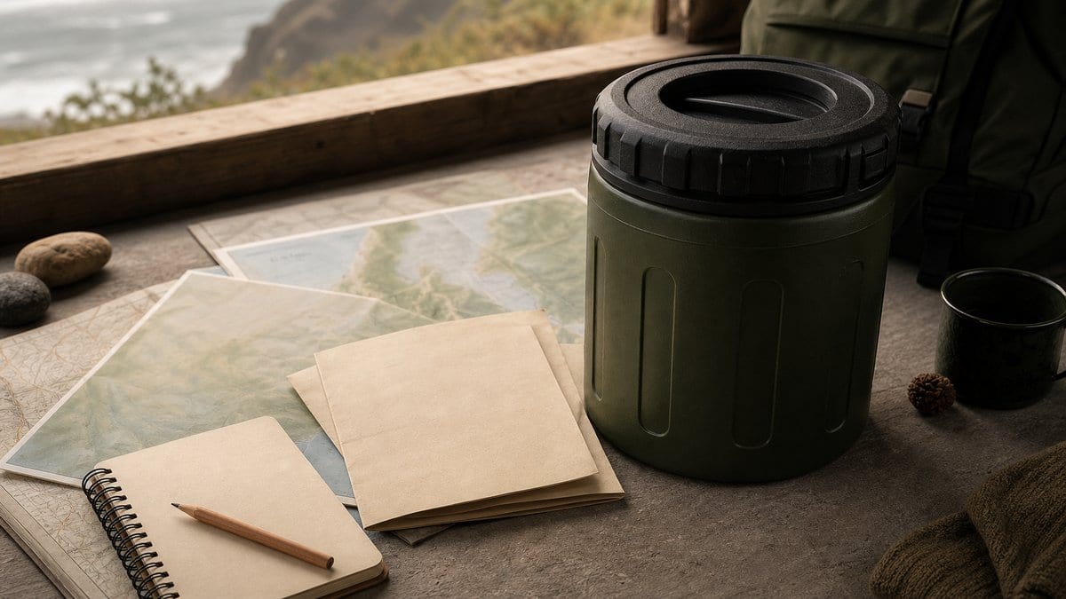
Hard-sided bear canisters are required for food, scented items, and trash. Bear bags are not accepted.
Permit
Campfires are usually banned everywhere in the wilderness from July on, even on the beach, and stoves are sometimes banned too. You need a CAL FIRE campfire permit to use a stove or build a fire. (Recreation.gov, checked October 17, 2026)
Plan Around Tides
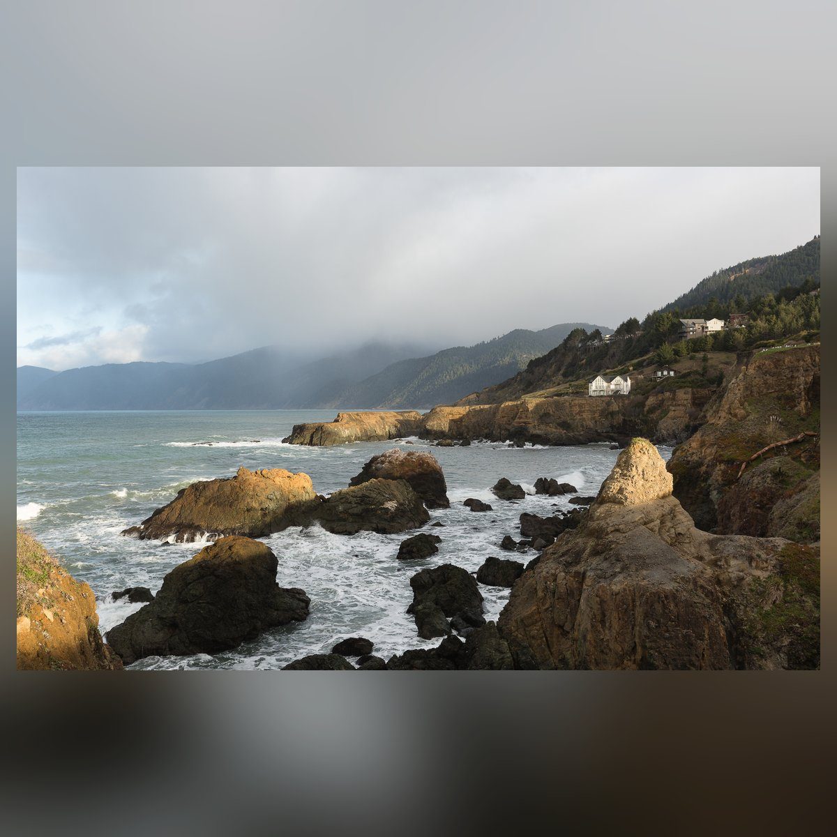
There are three places where the ocean can pin hikers against rock. The Recreation.gov permit page gives the tide you need to get through each one (checked October 17, 2026):
- Punta Gorda: under 6 feet. BLM's tide safety guide says under 5 feet, so plan on the lower number.
- Sea Lion Gulch to Randall Creek: under 2.5 feet.
- Miller Flat to Gitchell Creek: under 3 feet.
Low tide doesn't mean passable. On some days the low never drops under the line. Check NOAA Shelter Cove station 9418024 for your exact dates and watch BLM's tide safety video before you buy a permit. BLM's guide says to hike the zones in daylight only and to figure on about 1 mile per hour. Enter tide-dependent stretches on an outgoing tide and leave a buffer for slow sand, rounded cobbles, swell, and fatigue.

Permits And Trail Rules
You need an overnight permit year-round for the King Range Wilderness, which includes the Lost Coast Trail. Book it on Recreation.gov on a 90-day rolling window that opens at 7:00 a.m. Pacific. Each permit covers up to 3 people, and you can hold one active permit at a time. Daily starts are capped at 60 people from May 15 to September 15 and 30 the rest of the year. It costs a $6 reservation fee per permit plus a Special Area Fee listed at $12 per person per trip (Recreation.gov, checked October 17, 2026), and kids 16 and under are free. Walk-up permits for up to 3 people go by lottery at the King Range Visitor Center, Monday to Saturday at 8:00 a.m. (Recreation.gov, checked October 17, 2026).
Start on the exact date on your permit and carry a printed paper copy. You can print it 7 days ahead. Rangers check permits at trailheads and on the trail. Each person needs a hard-sided bear canister for food, trash, and toiletries. On the beach, bury human waste 6 to 8 inches deep in wet sand below the high-tide line. Away from the beach, dig 6 to 8 inches deep at least 200 feet from streams, trails, and camps. Pack out or bury toilet paper. Campfires are usually banned everywhere in the wilderness from July on, even on the beach, and you need a CAL FIRE campfire permit for a stove or a fire. The BLM Lost Coast Trail page covers trailheads and access.
Route Breakdown
Southbound travel usually gives hikers a clean shuttle pattern: park near Black Sands Beach, ride to Mattole Beach, then walk back toward Shelter Cove. The miles are low, but the beach is slow. Build an itinerary around tide windows first, then plan water by source type: coastal creeks are the supported main source class, every source needs treatment, and no individual creek should be treated as guaranteed. Keep the Sinkyone Wilderness section separate from this route unless you are deliberately adding a different extension with different rules.
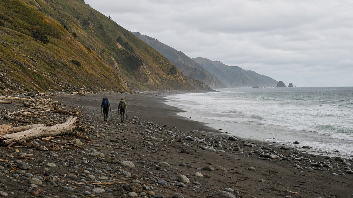
Trail breakdown
Trail breakdown
Mattole Beach to Punta Gorda
Ease into beach travel, pass the lighthouse area, and watch for wildlife near Punta Gorda. This first tide zone is short, but it still belongs in the tide plan.
Punta Gorda to Randall Creek
This is the section that usually controls the trip. The Sea Lion Gulch to Randall Creek zone is the long committed stretch and must be walked when the tide is low enough for safe passage.
Randall Creek to Big Flat
The route alternates beach, bluff, and creek mouths. Use coastal creeks as planning opportunities, not promises: filter every source and keep enough reserve if a creek is dry, silty, or unsafe to cross.
Big Flat to Black Sands Beach
The final major tide problem is Miller Flat to Gitchell Creek. Once through it, the last miles trend toward Shelter Cove and the Black Sands Beach trailhead.
Highlights
What you’ll remember
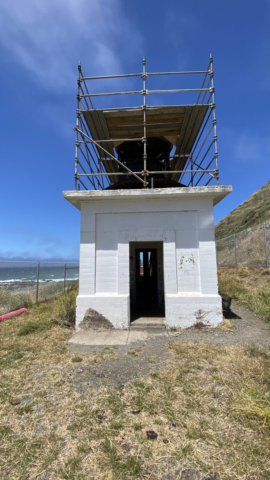
Punta Gorda Lighthouse
A landmark early in the southbound walk, with the first short tide-controlled passage nearby.
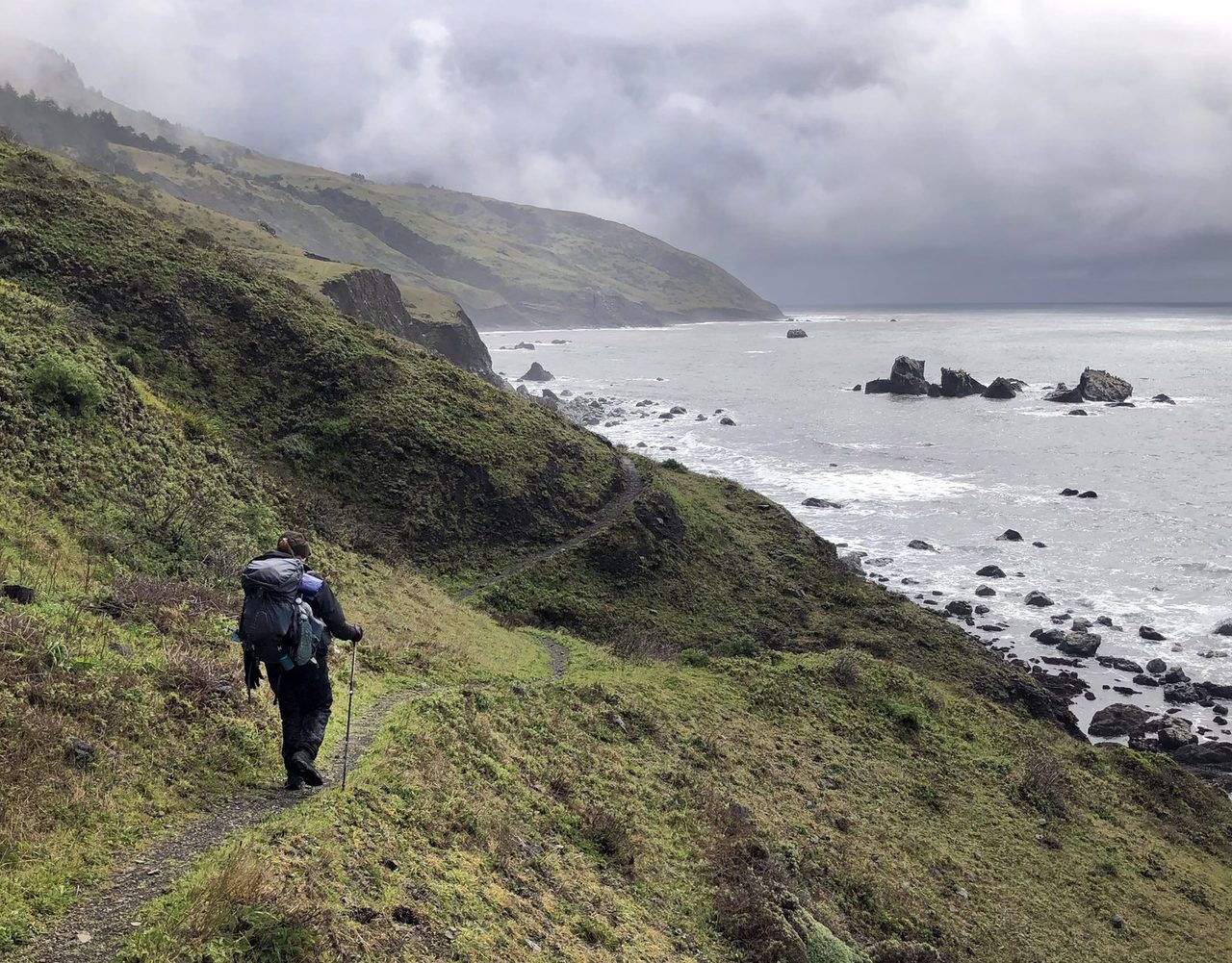
Sea Lion Gulch To Randall Creek
The trip's most consequential tide window, with a long exposed shoreline and no easy refuge.
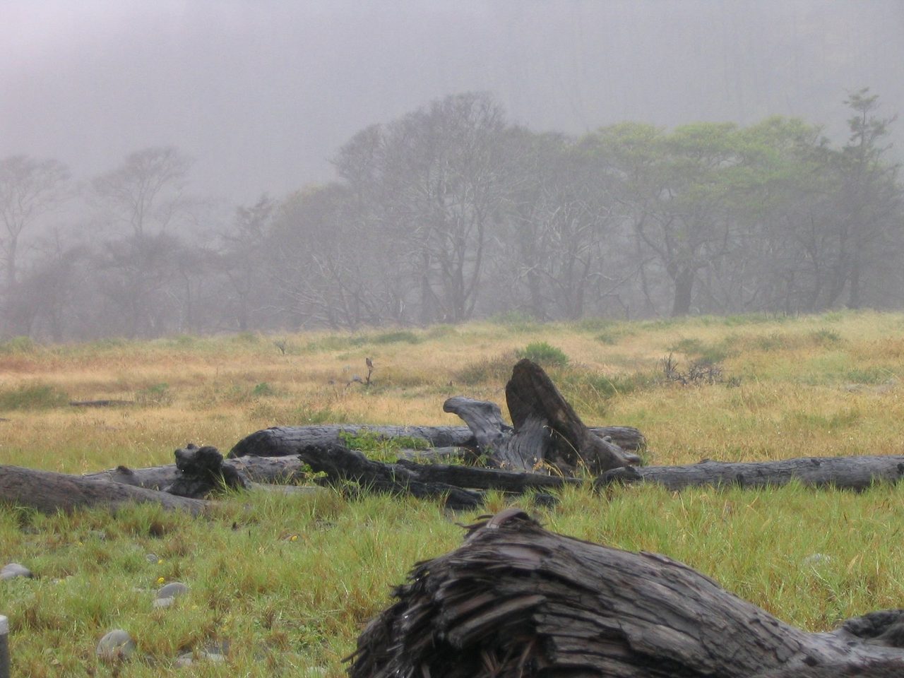
Big Flat And Miller Flat
A wider coastal bench that gives many hikers their best second-night options before the final tide zone.
Hazards & safety
Hazards to plan for
Tide Windows
Do not treat low tide as automatically safe. Recreation.gov lists Punta Gorda as passable under 6 feet (BLM's tide guide says 5), Sea Lion Gulch to Randall Creek under 2.5 feet, and Miller Flat to Gitchell Creek under 3 feet. Check the NOAA Shelter Cove tides for your dates and the marine forecast too. (Recreation.gov, checked October 17, 2026)
Sneaker Waves And Surf
The route is exposed to cold water, undertow, rip currents, and wave surge. Stay out of the water and check marine forecast, swell height, and swell period before the trip.
Creek Crossings
BLM sources support coastal creeks as the generally reliable water class on the beach route, often year-round, but they do not give a named-creek guarantee. Treat or filter every source, check current King Range conditions, avoid relying on upland springs, and do not cross above knee height.
Wildlife And Food Storage
Give elephant seals and other wildlife space, keep a hard-sided bear canister, and bury human waste 6 to 8 inches deep in wet sand below the high-tide line. Pack out or bury toilet paper, and pack out wipes. (Recreation.gov, checked October 17, 2026)
Retailer links on this page are affiliate links. We may earn a commission if you buy, and your price doesn't change. How affiliate links work →
Gear spotlights
What we’re recommending
For the no-signal miles
Satellite messenger
Garmin inReach Mini 3
Don't plan on a phone reaching anyone between the tide zones, where a late start can pin you down for hours. The inReach Mini 3 texts and sends an SOS over satellite. My review covers plans and battery.
Get one honest gear take every Friday.
One email a week: new reviews, one gear pick with my reasoning, and nothing sponsored. Confirm your address and you get my printable 2-page backpacking gear checklist.
You'll get a confirmation link first, and nothing else arrives until you click it. Every email has a one-click unsubscribe. How your email is handled
More from Trail Guides
Appalachian Trail: A Backpacker's Full-Trail Planning Guide
Full-trail planning guide for the Appalachian Trail's 2,190+ miles from Georgia to Maine. Permits, ten contiguous sections, resupply, transport, gear, budget, and Helene recovery.
 Brooke Wilder
22 min read
Brooke Wilder
22 min read
John Muir Trail: A Safety-First Planning Guide
Plan the John Muir Trail with verified permit, resupply, weather, altitude, and safety guidance for a Sierra thru-hike.
Brooke Wilder
29 min read
Vermont Long Trail: The Complete Thru-Hiker's Guide
The Vermont Long Trail runs the length of Vermont along the main ridge of the Green Mountains, from the Massachusetts border to the Canadian border. It is the oldest long-distance hiking trail in the United States and the Green Mountain Club is still the route's central steward. The Appalachian Trai
Brooke Wilder
34 min read
Why trust BestForBackpacking
Honest gear advice for backpackers, researched, weighed, and recommended.
Every pick is based on deep research: a synthesis of long-term owner reports, independent reviewer tests, and manufacturer specs, weighted by source independence, specificity, and use-case match. Brooke Wilder is our gear editor, the editorial persona who turns that research into a clear recommendation.