
Trail Guides
John Muir Trail: A Safety-First Planning Guide
Last updated: August 2026
Plan the John Muir Trail with verified permit, resupply, weather, altitude, and safety guidance for a Sierra thru-hike.
 By Brooke2 min read
Share this post
Send it to someone who's planning a trip.
Overview
John Muir Trail Overview
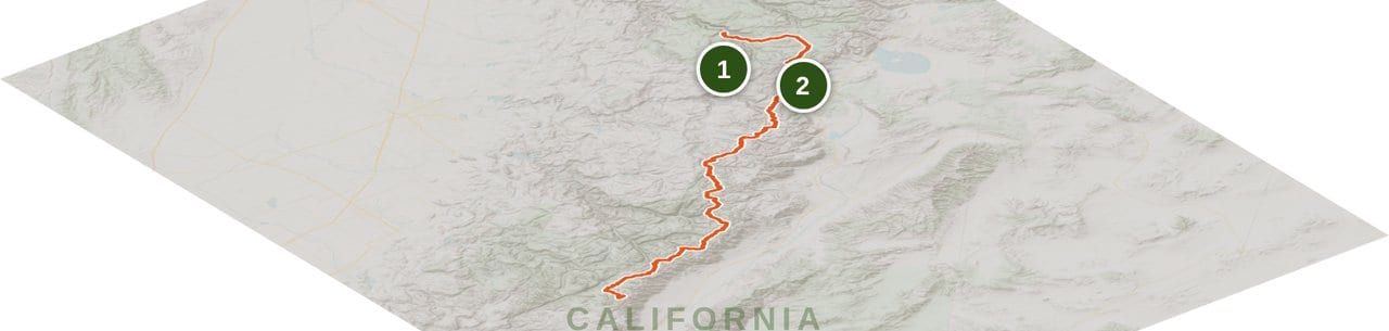
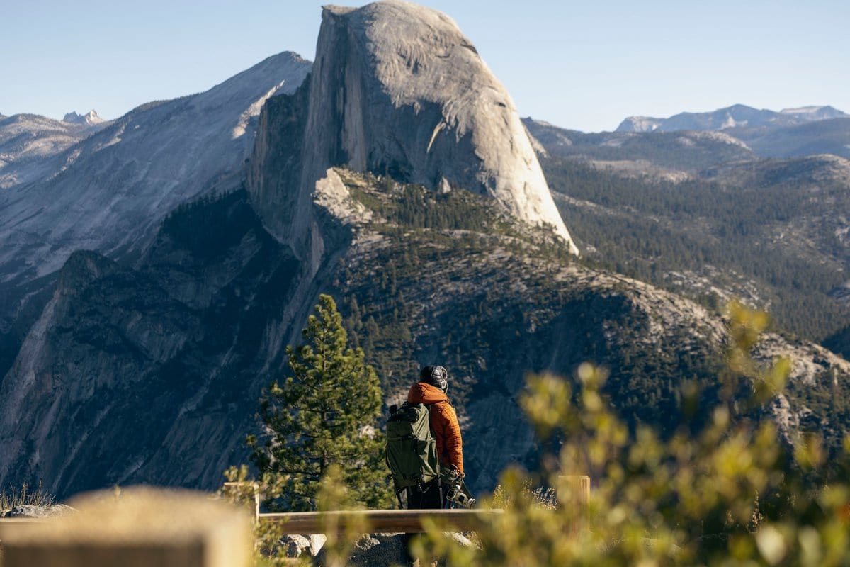
The John Muir Trail runs south from Yosemite Valley through the Sierra Nevada high country to Mount Whitney. The National Park Service describes the route from Yosemite Valley to Mount Whitney as approximately 214 miles. Whitney Portal is the usual exit-logistics destination after the summit, but it is not part of that NPS mileage statement. Half Dome is an optional side trip, not part of the core route context used here.
This is a planning and safety overview, not a day-by-day itinerary. The route spends long stretches at elevation, crosses multiple land-management units, and asks hikers to keep permits, food storage, fire rules, water treatment, and current conditions straight. Those details matter more than a tidy mileage claim.
The captured official source set does not verify additive segment miles, named water carries, bailout access, resupply operations, or endpoint transport schedules. Those details are deliberately left out. Use a current itinerary-grade guide alongside official park conditions before choosing camps or daily targets.
At a glance
Trail at a glance
days
Set from a current, itinerary-grade plan
permit
Yosemite wilderness permit for a continuous Yosemite start; confirm Donohue Pass eligibility
distance
Approximately 214 miles from Yosemite Valley to Mount Whitney
difficulty
Strenuous, remote high-elevation backpacking
best season
Condition-dependent; check current Yosemite and SEKI guidance
elevation gain
Not stated here without a verified additive route source
Permits & logistics
Permits & logistics
Permit
Yosemite Wilderness Permit Required
Permit
Confirm Donohue Pass Eligibility
Permit
Recheck Current Park Rules
Start With the Route Boundary
For this guide, the route runs south from Happy Isles in Yosemite Valley through the core John Muir Trail corridor to Mount Whitney. NPS describes the Yosemite Valley-to-Mount Whitney route as approximately 214 miles. Do not quietly turn that figure into a Happy Isles-to-Whitney Portal total.
Whitney Portal belongs in the exit plan after Mount Whitney, not in the official distance claim used here. Half Dome is also outside the core mileage because it is an optional side trip. Keeping those boundaries clean prevents a planning overview from sounding more precise than its sources.
Permits and Donohue Pass
A continuous southbound hike starting in Yosemite requires a Yosemite wilderness permit. Yosemite's current John Muir Trail guidance also explains Donohue Pass eligibility, which is central to a continuous Yosemite-start itinerary.
Read the official JMT and wilderness-permit pages while planning and again before the trip. Quotas, availability, application steps, and implementation can change. A permit for a different entry point is not interchangeable with a Yosemite-start plan just because both trips eventually join the same trail.
Food Storage and Camp Rules
Approved bear-resistant food storage is part of the plan, not optional insurance. Follow the current requirements for every park and wilderness area on the itinerary, and keep all food, trash, toiletries, and scented items secured as directed.
Camping, fire, and sanitation restrictions can change by location and season. Check both Yosemite and Sequoia and Kings Canyon guidance rather than assuming one park's rules cover the whole corridor. Treat water even when a source looks clear, and follow local sanitation rules well away from water and camp.
Conditions and Timing
A fixed calendar cannot tell you whether the high country is ready. Snow coverage, creek crossings, smoke, fires, and access can change the practical difficulty of the route. Check Yosemite wilderness conditions and Sequoia and Kings Canyon restrictions immediately before departure.
Plan exposed passes for the morning and keep schedule flexibility for weather. The live check is the decision point. If official guidance, a closure, or conditions on the ground conflict with the itinerary, the itinerary loses.
Build a Real Itinerary
This overview intentionally stops before naming water carries, bailout routes, resupply services, and endpoint transportation. The official pages gathered for this draft do not support those details at itinerary depth, and a stale schedule or invented carry is worse than an honest gap.
Before committing to daily mileage, add a current itinerary-grade source that identifies camps, reliable water, food carries, bailouts, access, and transportation. Cross-check every time-sensitive detail with the current land manager. That extra work is what turns a route overview into a safe trip plan.
Trail breakdown
Trail breakdown
Happy Isles to Yosemite high country
The guide begins at Happy Isles in Yosemite Valley and follows the core southbound corridor into Yosemite high country. A continuous Yosemite-start itinerary requires the appropriate Yosemite wilderness permit, and Donohue Pass eligibility must match the current official guidance. Half Dome is an optional side trip and is excluded from this route boundary.
Central John Muir Trail corridor
The central corridor stays in remote, high Sierra terrain and crosses multiple management units. This overview does not assign segment miles, camps, water carries, or resupply stops because the captured official source set does not support those details at itinerary depth. Use current route-specific planning material before setting daily targets.
Southern high country to Mount Whitney
The southern corridor reaches Mount Whitney, the endpoint used in the NPS description of an approximately 214-mile route from Yosemite Valley. Whitney Portal is part of the exit logistics after the summit, not part of that official mileage statement. Confirm access, restrictions, and transportation with current sources before departure.
Highlights
What you’ll remember
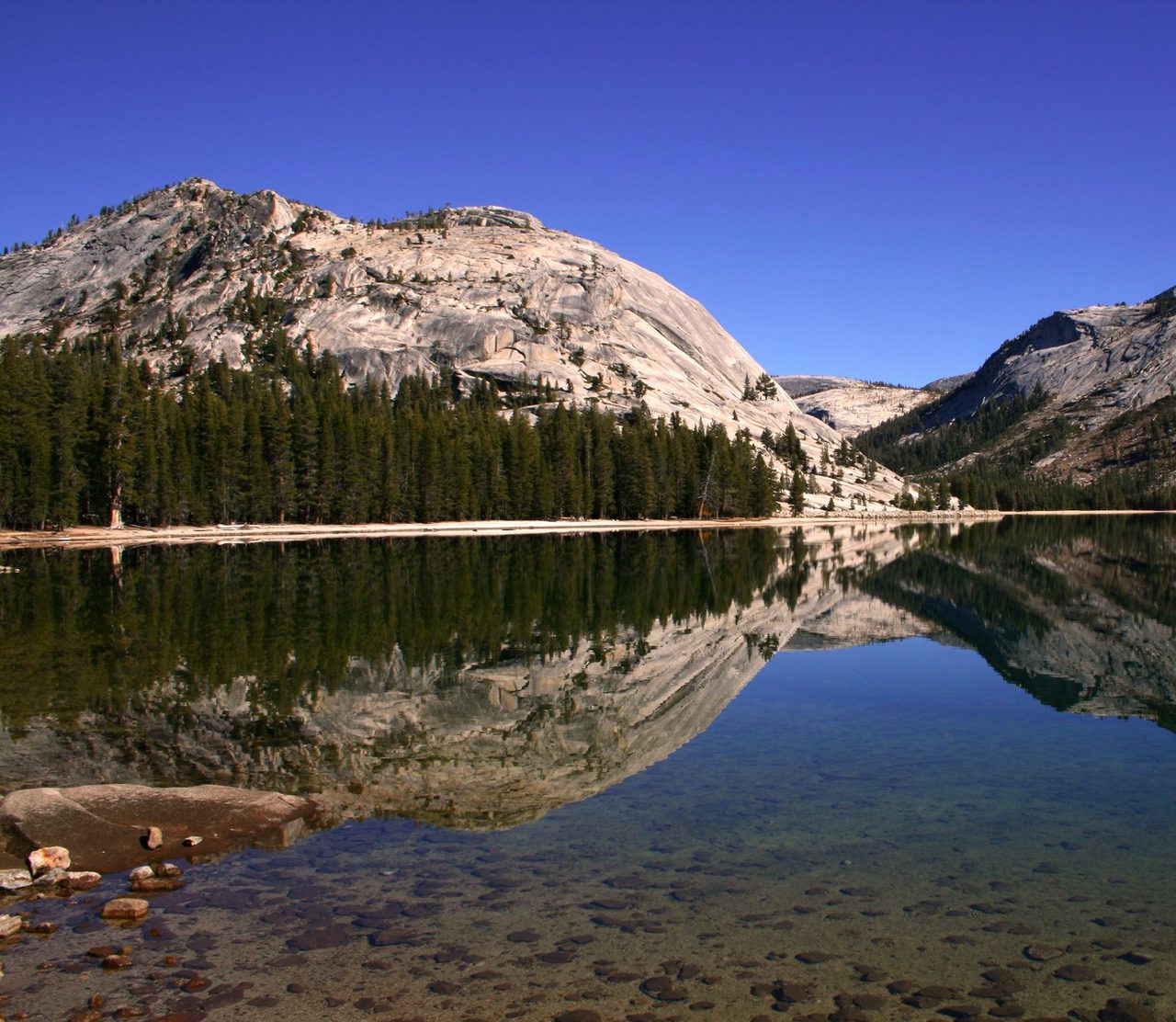
Yosemite High Country
Tenaya Lake in Yosemite’s high country.
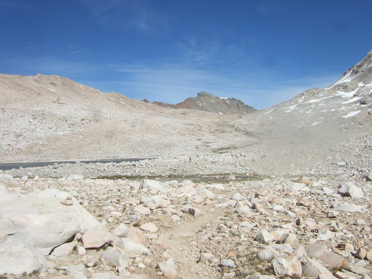
Muir Pass
Muir Pass sits on the core corridor and represents the sustained elevation and exposed crossings that define the route.
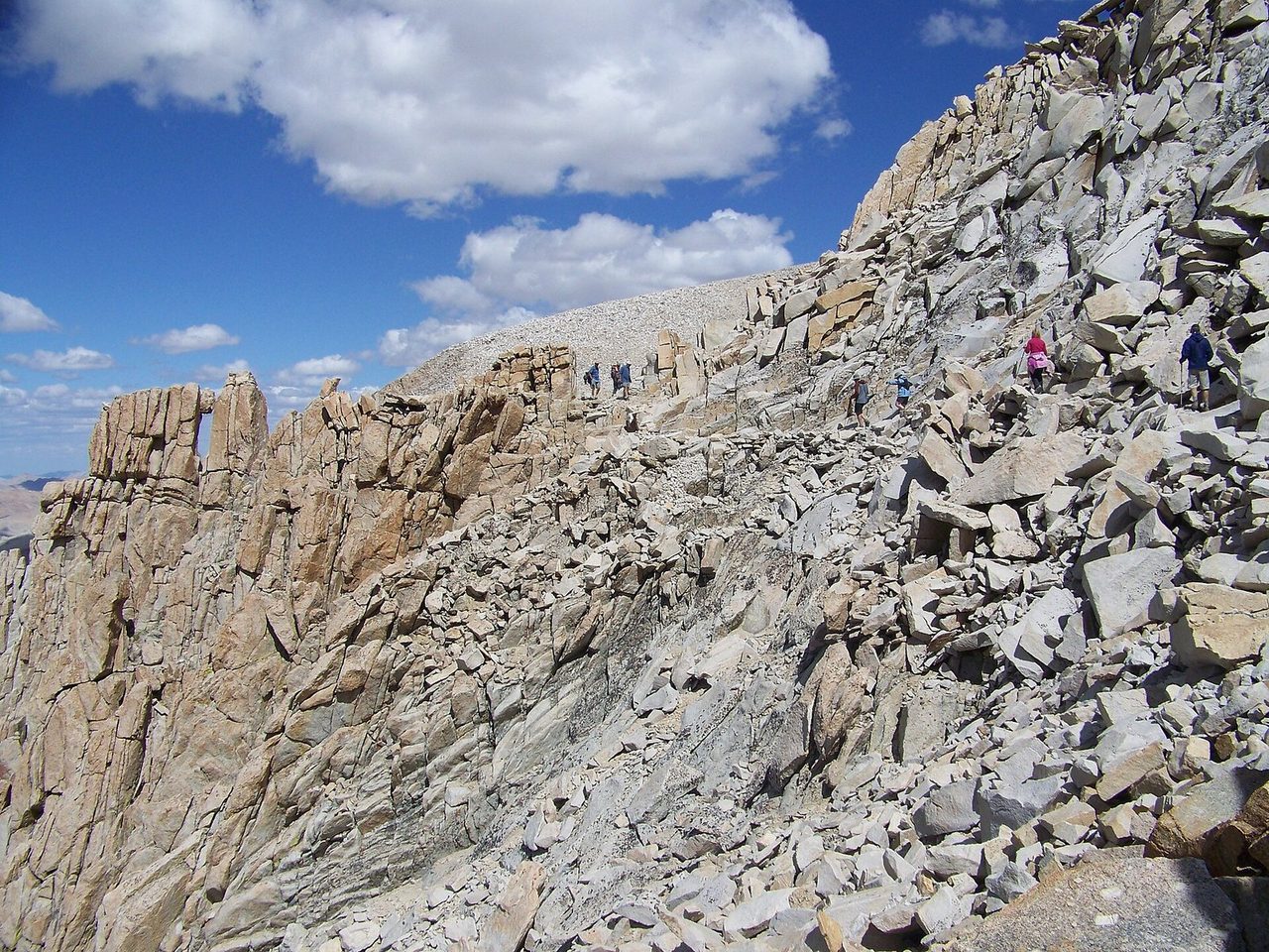
Mount Whitney
Mount Whitney is the southern route endpoint used in the NPS distance statement; Whitney Portal belongs to the exit plan.
Hazards & safety
Hazards to plan for
Conditions Change Fast
Snow, creek crossings, smoke, fire restrictions, and trail access can change during the hiking season. Check current Yosemite and Sequoia and Kings Canyon conditions immediately before departure, then change the plan if the official guidance does.
Altitude Is Part of the Difficulty
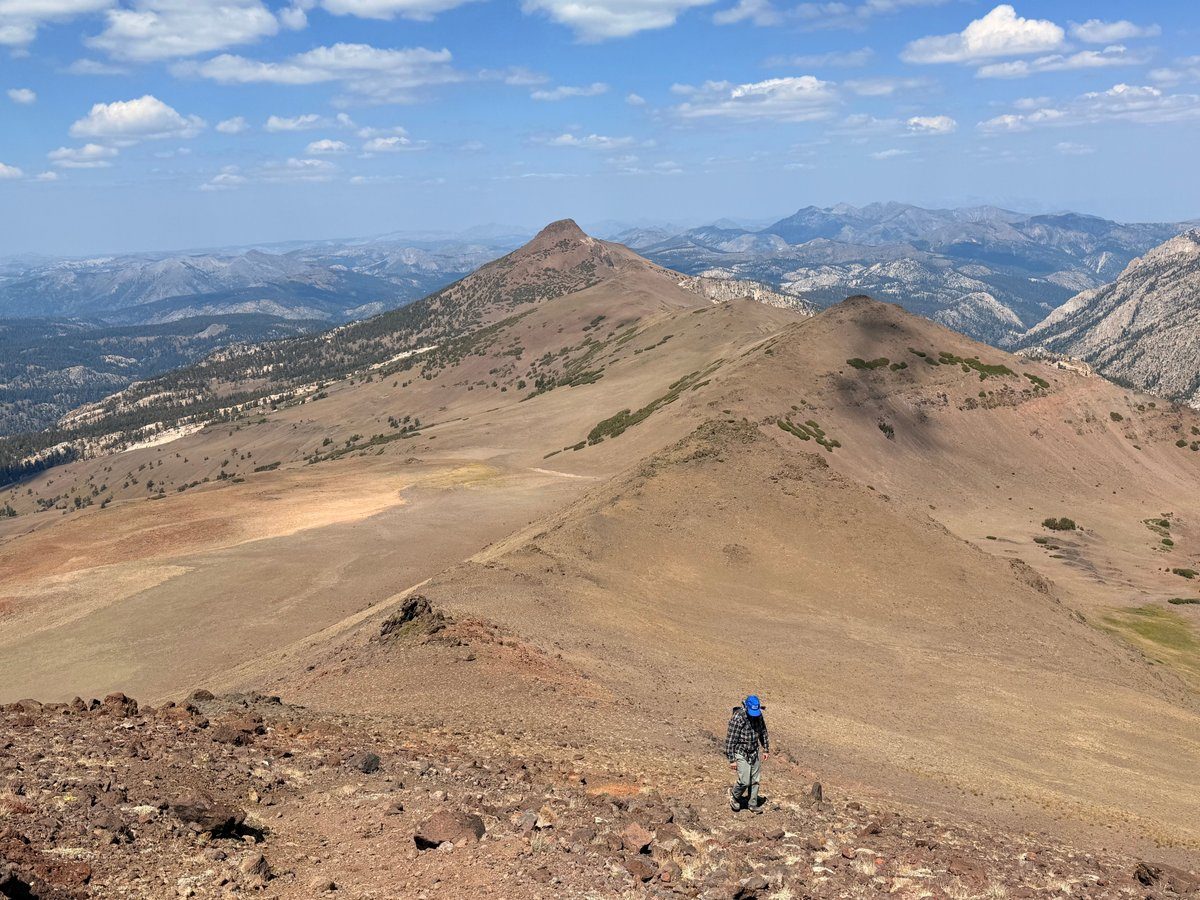
Much of the route stays high, and the southern end climbs over major Sierra passes before reaching Mount Whitney. Build altitude experience before the trip, keep the first days conservative, and turn around for worsening symptoms.
Exposed High Country
Exposed passes and summits are poor places to meet an afternoon storm. Plan high crossings early, watch the sky, and wait rather than forcing a pass in lightning or poor visibility.
Fire Restrictions
Fire rules and closures vary by place and date. Sequoia and Kings Canyon had active restrictions when these facts were checked, so verify the current order for every land unit on your itinerary before relying on a stove or campfire plan.
Do Not Improvise the Itinerary
The official sources gathered for this overview do not support named water carries, bailout distances, or transport schedules. Build those details from a current itinerary-grade guide and official conditions rather than treating this overview as a day-by-day plan.
More from Trail Guides
Appalachian Trail: A Backpacker's Full-Trail Planning Guide
Full-trail planning guide for the Appalachian Trail's 2,190+ miles from Georgia to Maine. Permits, ten contiguous sections, resupply, transport, gear, budget, and Helene recovery.
 Brooke Wilder
20 min read
Brooke Wilder
20 min read
Lost Coast Trail Backpacking Guide
A tide-first guide to the Lost Coast Trail from Mattole Beach to Black Sands Beach, with permits, hazards, and route-planning basics.
Brooke Wilder
26 min read
Vermont Long Trail: The Complete Thru-Hiker's Guide
The Vermont Long Trail runs the length of Vermont along the main ridge of the Green Mountains, from the Massachusetts border to the Canadian border. It is the oldest long-distance hiking trail in the United States and the Green Mountain Club is still the route's central steward. The Appalachian Trai
Brooke Wilder
8 min read
Get one honest gear take every Friday.
No spam. Just gear picks, packing lessons, and notes from this week's research.
Why trust BestForBackpacking
Honest gear advice for backpackers, researched, weighed, and recommended.
Every pick is based on deep research: a synthesis of long-term owner reports, independent reviewer tests, and manufacturer specs, weighted by source independence, specificity, and use-case match. Brooke Wilder is our gear editor, the editorial persona who turns that research into a clear recommendation.