
Trails
Rae Lakes Loop: A Backpacker's Trip Planning Guide
Last updated: August 2026
Planning the Rae Lakes Loop? Here's the honest read on permits, seasonal hazards, camps, bear-can rules, and how to choose between the Woods Creek and Bubbs Creek directions.
 By Brooke2 min read
Share this post
Send it to someone who's planning a trip.
Overview
Why hike the Rae Lakes Loop
Rae Lakes is one of those Sierra trips that keeps showing up because the scenery is real, not because the miles are easy. You get deep canyon walking, polished granite, three alpine lakes, and a real high-pass finish in a route short enough for a long weekend if you already have trail legs.
The catch is that the loop compresses a lot of consequence into 41.4 miles. Glen Pass tops out at 11,978 feet. Early-season snow and high water can make the route unrealistic until mid to late July. The washed-out South Fork Kings River bridge above Paradise Valley means the classic counterclockwise direction can force a retreat in some conditions. Add in permit pressure and designated-camping rules, and this becomes a trail that rewards planning more than bravado.
At a glance
Trail at a glance
Days
3 to 5 days
Permits
Quota permit in peak season
Bear can
Required May 1 to Oct. 31
Distance
41.4 miles
Direction
Clockwise or counterclockwise
Trailhead
Road's End, Cedar Grove
Difficulty
Strenuous for its length
High point
11,978 ft (Glen Pass)
Best season
Mid-July to Sept.
When to go
When to hike
Most hikers should think of Rae Lakes as a mid-July through September trip. The park notes that high water can be a problem in May and early June, and Glen Pass may stay impassable until mid to late July. In a big snow year, that can slide even later.
August and September are the cleanest fit for most backpackers. You still need to start early for Glen Pass, because exposed Sierra passes build weather quickly in the afternoon, and late summer can bring wildfire smoke or short-notice fire restrictions. By October, colder nights and early storms start narrowing the margin.
Permits & logistics
Permits & logistics
Permit
Road's End wilderness permit
Pick up at the Road's End Permit Station in Cedar Grove during staffed hours; your confirmation email is not the trail permit.
Camping rule
Rae Lakes Loop restrictions
Bullfrog Lake is closed to camping, grazing, and stock travel, and Kearsarge Lakes has a two-night limit.
Food storage
Bear-resistant canister
Portable bear-resistant canisters are required on this loop. Metal boxes are not a substitute for standard backpacking camps on this route.
Road's End is the entry point for both directions, so trailhead logistics stay simple, but permit competition is real because this is one of the park's most popular loops. If you are planning a peak-season weekend, treat permits as the first constraint, not the last. Cedar Grove is the practical staging point for an early start, and the same permit desk handles last-mile questions about current crossings, fires, and trail closures.
Which direction makes the most sense for the 2026 season
In a normal year, hikers can enjoy Rae Lakes in either direction. For the 2026 season, the bridge washout above Paradise Valley still tilts the decision. Clockwise via Woods Creek is usually the cleaner default, because it gets you to Rae Lakes and Glen Pass without betting the entire trip on a hazardous South Fork Kings River crossing.
Counterclockwise via Paradise still has one big advantage: the climb to Glen Pass comes later, after a gentler buildup. But that logic only helps if the river situation is manageable. If current ranger reports sound shaky, the smart call is not to force the classic direction. It is to choose the direction with the simpler exit.
How many days to give the loop
Strong hikers can finish Rae Lakes in three days, but that version turns a scenic Sierra loop into a schedule-management exercise. Four days is the sweet spot for most backpackers. It gives you enough room to camp legally, start Glen Pass early, and absorb one slower stretch without the whole trip feeling rushed.
Five days makes sense if you are carrying a heavier load, bringing newer backpackers, or simply want longer mornings around camp. The loop is only 41.4 miles, but the combination of altitude, pass climbing, permit rules, and bear-can bulk makes it feel harder than the raw mileage implies.
Permits, camps, and the rules that actually matter
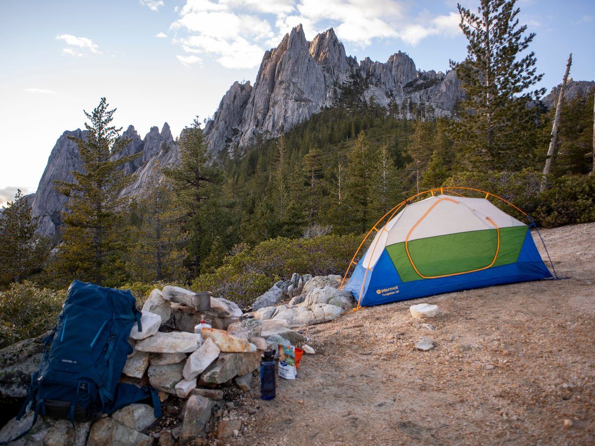
This is not a trail where you can improvise camp choices late in the day and assume it will work out. The park limits camping in Lower Paradise to designated sites, caps Paradise Valley at two nights, limits Rae Lakes to one night per lake, and caps Charlotte Lake at two nights. Bullfrog Lake is closed to camping entirely.
That matters because your legal options shape your itinerary as much as your legs do. Before you leave Road's End, know your likely night-one and night-two targets. The rule set is manageable if you plan around it. It becomes annoying only when you try to wing it.
What makes Rae Lakes harder than it looks
Rae Lakes gets recommended to ambitious intermediate backpackers because the mileage is approachable, but that can undersell the route. Glen Pass still tops out at 11,978 feet. Even a four-day itinerary asks you to carry enough food for the full trip, plus a mandatory bear canister, over a real Sierra pass.
The other trap is mental, not physical. Once you are deep in the loop, your options narrow. A washed-out bridge, bad crossing, or pass problem can change the plan fast. Treat the loop as a compact alpine trip, not as a beginner route with famous photos.
Trail breakdown
Trail breakdown
Road's End to Lower or Upper Paradise
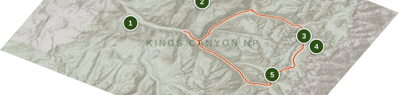
The counterclockwise start via Paradise eases you into the loop with a long climb beside the South Fork Kings River. Mist Falls comes early and the canyon walls keep the scale feeling bigger than the mileage suggests. Lower Paradise is the first legal camping area, and if you keep going, Upper Paradise makes a cleaner staging point for the next day's push toward Woods Creek. This is also the section tied to the washed-out bridge farther upstream, which is why current conditions matter more than your itinerary optimism.
Paradise Valley to Woods Creek and Dollar Lake
This middle stretch is where the route opens up. You move from enclosed canyon into broader forest and meadow travel, then angle toward Woods Creek Crossing. Dollar Lake is a common night-two target because it leaves a manageable climb into Rae Lakes the next morning. If the South Fork Kings River crossing is unsafe, this is the decision point that can turn a full loop into an out-and-back from the Bubbs side instead.
Dollar Lake to Rae Lakes to Glen Pass
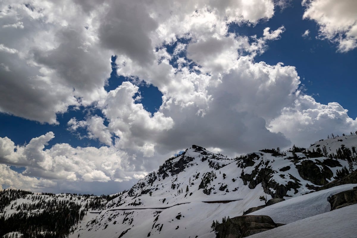
This is the money section and the one that earns the loop's reputation. Rae Lakes delivers the classic granite-and-water Sierra look, but camping is tightly managed, with one night allowed per lake. Above the lakes, the route steepens toward Glen Pass, the loop's high point at 11,978 feet. Start early, especially if weather is building or if any lingering snow remains on the north side.
Glen Pass to Vidette Meadow to Junction Meadow
Dropping off Glen Pass changes the feel of the trip from alpine showcase to getting-home miles, but it is still beautiful country. Charlotte Lake Junction and Vidette Meadow are the main landmarks, and this side of the loop stays on-route. Bullfrog Lake sits off to the east and is useful only as a planning reference, not as a legal campsite. Junction Meadow is a logical stopping point if you want to split the final Bubbs Creek exit into a shorter last day.
Junction Meadow to Road's End via Bubbs Creek
The Bubbs Creek exit is straightforward on paper, but it still feels long at the end of the trip. Charlotte Creek, Sphinx Junction, and the final miles back to Road's End break it into manageable pieces. If you hike clockwise, this is your day-one climb instead, which avoids the South Fork Kings River bridge problem and usually makes the loop the cleaner call in uncertain early-season conditions.
Highlights
What you’ll remember
Mist Falls
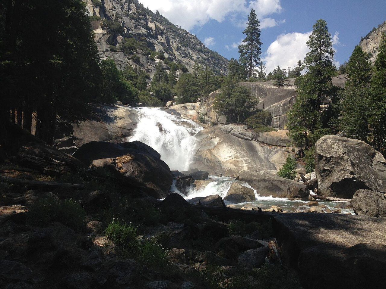
A loud, worthwhile early landmark on the Paradise side, and a good reminder that the opening miles are not just approach trail.
Woods Creek Crossing
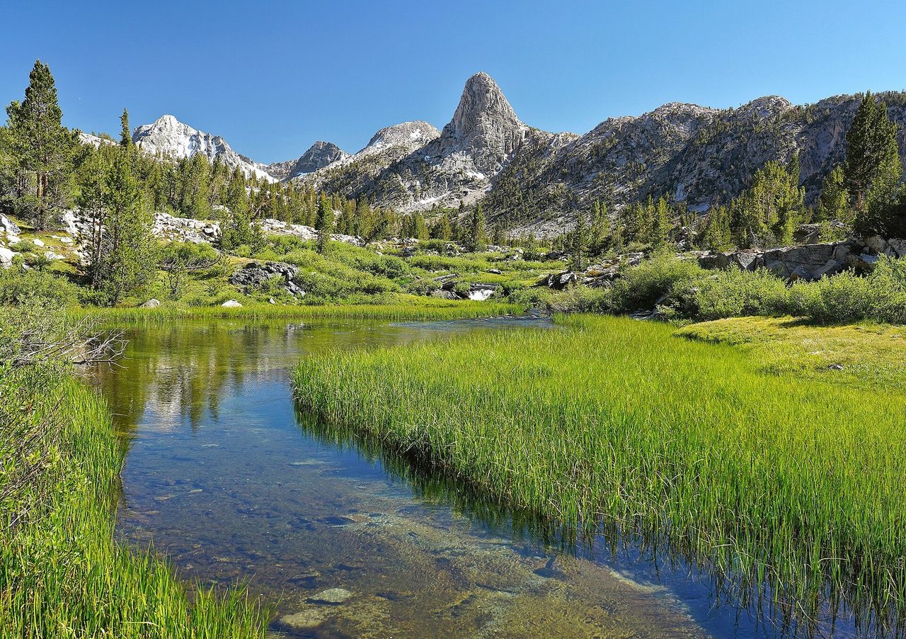
One of the loop's visual pivots, where the route shifts from canyon travel toward the alpine basin around Rae Lakes.
Rae Lakes
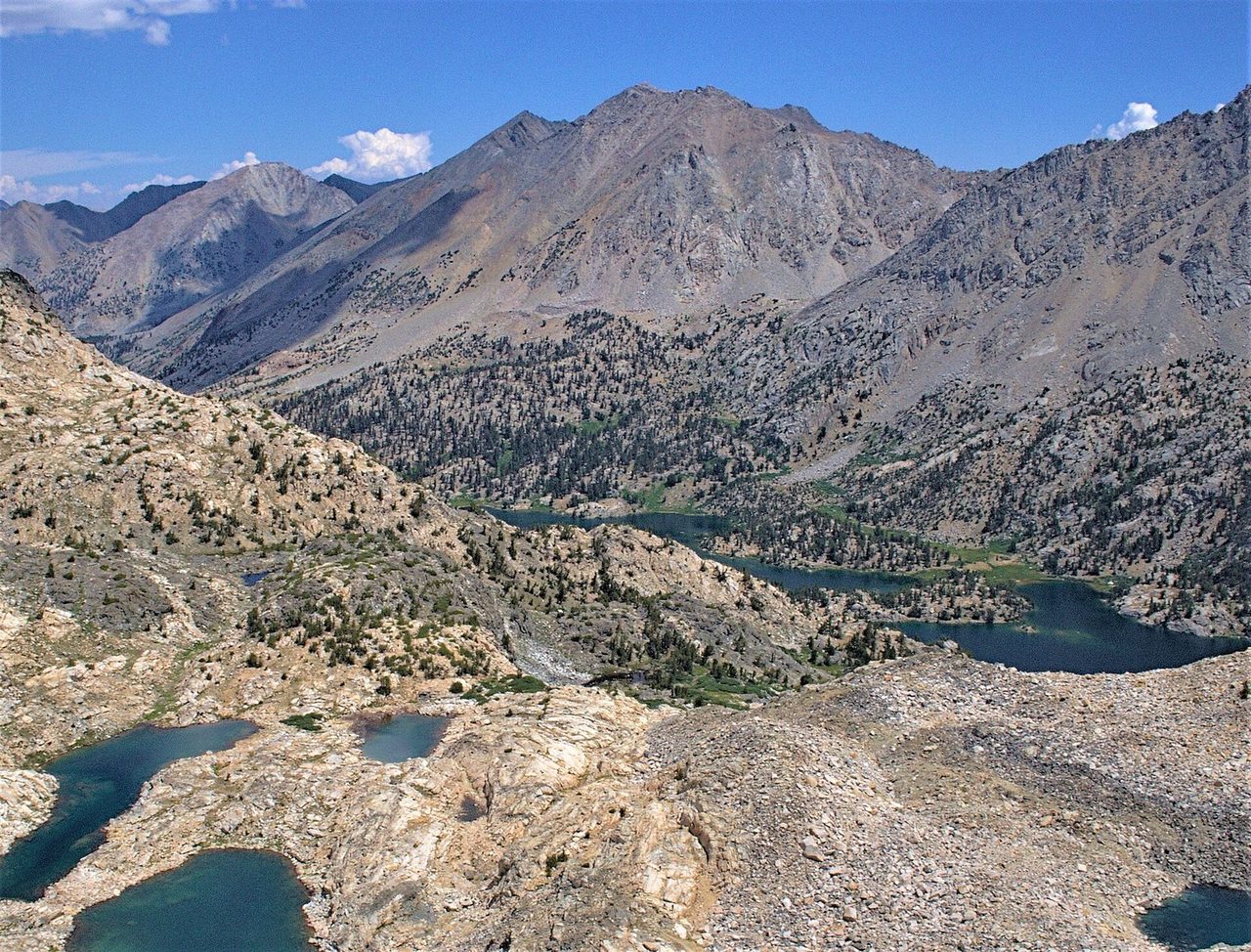
The marquee trio of lakes on the route, ringed by granite and tightly managed because too many people want the same camps.
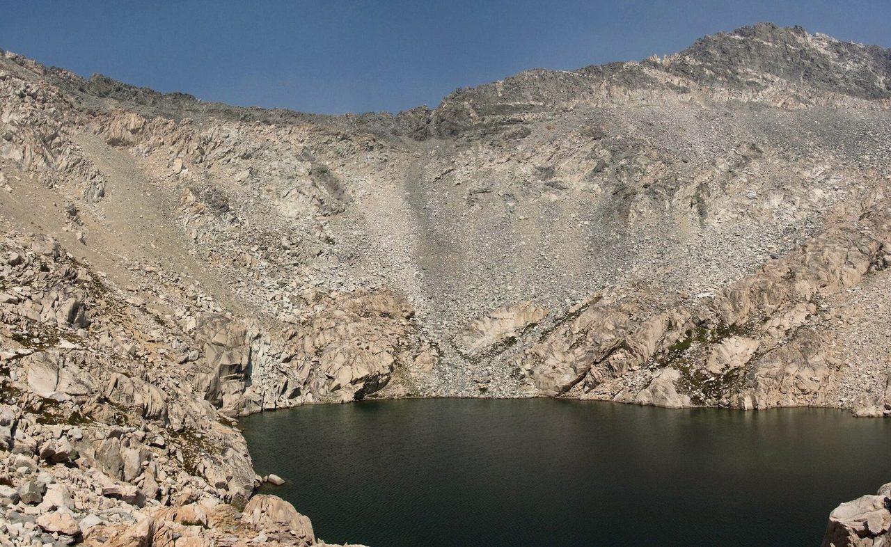
Glen Pass
The route's high point at 11,978 feet, with the kind of switchbacked Sierra terrain that looks friendlier from a distance.
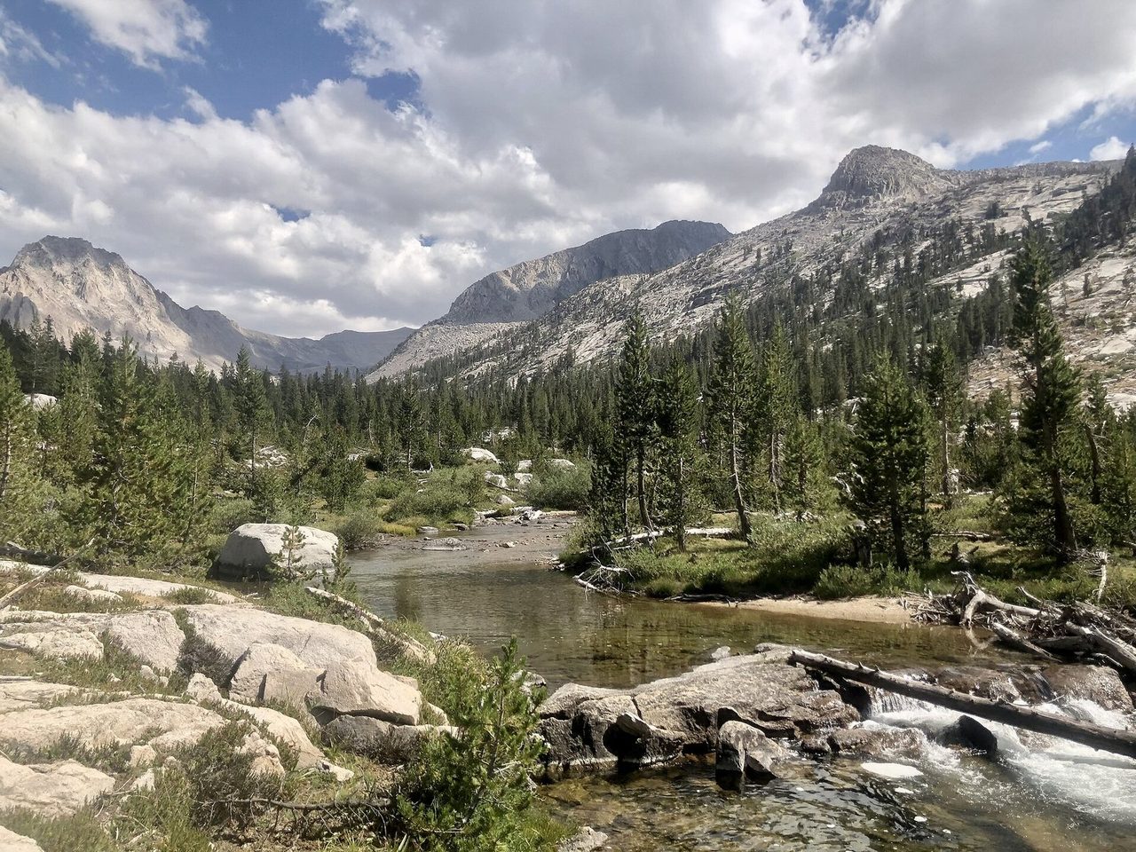
Vidette Meadow
A broad reset after the pass, and one of the key landmarks on the Bubbs Creek side of the loop.
Hazards & safety
Hazards to plan for
South Fork Kings River bridge washout
The bridge above Paradise Valley washed out in 2017, and the park says a replacement will not begin before 2027. Depending on conditions, the river crossing can be extremely hazardous. If you start from Bubbs Creek hoping to complete the full loop, be ready to turn around if the crossing is unsafe.
High water in May and early June
The park specifically flags high water at stream crossings as a recurring problem early in the season. Even when the trail is technically open, fast runoff can turn a reasonable itinerary into a bad decision. Early starts and conservative turnaround judgment matter more here than mileage goals.
Snow and ice near Glen Pass
Glen Pass may be impassable until mid to late July, and in bigger snow years it can hold snow even longer. A dry trailhead forecast does not mean pass conditions are benign. If you are early, treat this as an alpine conditions question, not a summer backpacking default.
Afternoon storms and smoke
Like most high Sierra routes, Rae Lakes rewards early pass timing. Thunderstorms tend to build after midday, and late summer can bring smoke or fire restrictions that change the quality of the trip fast. Check park alerts before you drive to Cedar Grove, not after.
Resupply
Resupply points
| Stop | Mile | Services | Days to next |
|---|---|---|---|
| Cedar Grove before you start | 0 | Last easy staging point, campground services vary seasonally | Carry the full trip's food from the start |
| On-route resupply | N/A | None on the loop itself | Plan 3 to 5 days from the trailhead |
Cedar Grove before you start
- Mile
- 0
- Services
- Last easy staging point, campground services vary seasonally
- Days to next
- Carry the full trip's food from the start
On-route resupply
- Mile
- N/A
- Services
- None on the loop itself
- Days to next
- Plan 3 to 5 days from the trailhead
Packing checklist
What to pack
Shelter
Sleep
Carry
Cook
Wear
Safety & nav
More from Trails
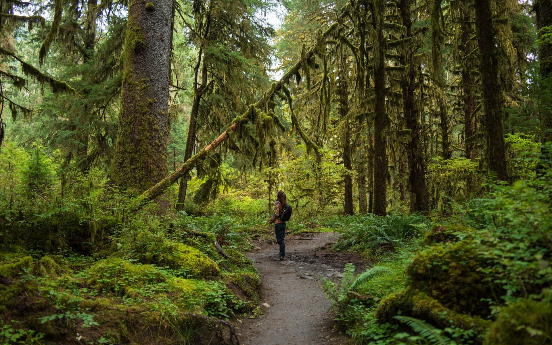
Hoh River Trail to the Lateral Moraine Viewpoint: Trip Planning Guide
A 37-mile out-and-back from Olympic's Hoh rainforest to the non-glacier Lateral Moraine viewpoint above Blue Glacier, with permits, camps, hazards, and itineraries.
 Brooke Wilder
12 min read
Brooke Wilder
12 min read
Get one honest gear take every Friday.
No spam. Just gear picks, packing lessons, and notes from this week's research.
Why trust BestForBackpacking
Honest gear advice for backpackers, researched, weighed, and recommended.
Every pick is based on deep research: a synthesis of long-term owner reports, independent reviewer tests, and manufacturer specs, weighted by source independence, specificity, and use-case match. Brooke Wilder is our gear editor, the editorial persona who turns that research into a clear recommendation.