
Backpacking
Great Smoky Mountains Backpacking Guide
Last updated:
A reservation-first plan for a 22-mile Smokies backpacking route from Newfound Gap to Icewater Spring and Pecks Corner shelters.
 By Brooke3 min read
Share this post
Send it to someone who's planning a trip.


Overview
A complete 3-day Smokies route
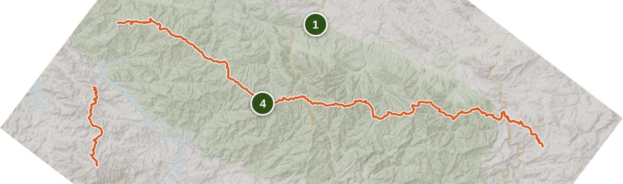
This itinerary stays on the Appalachian Trail between Newfound Gap and Pecks Corner Shelter. The official National Park Service trail map puts Newfound Gap to Icewater Spring Shelter at about 3 miles on the Appalachian Trail, and trail guides place the Boulevard Trail junction about 2.7 miles from the Newfound Gap parking lot, with the shelter a short distance beyond. Published figures for the first leg range from about 3 to 4 miles across park maps, guidebooks, and camp directories, so compare the current official map with the issued permit before departure and plan around the longer figure. The legs that follow are about 7.5 miles to Pecks Corner and about 11 miles back to Newfound Gap, for a roughly 22-mile out-and-back; map and guidebook figures can differ. The route needs no shuttle and offers no resupply. It does require reservations for both shelter nights, treated water, and enough reserve time for high-ridge weather.
At a glance
Trail at a glance
Days
3 days, 2 nights
Route
Newfound Gap to Pecks Corner
Water
Treat shelter sources; verify flow
Nights
Icewater Spring and Pecks Corner
Permits
Reserve both shelter nights
Distance
22 miles, out and back
Resupply
None
Transport
No shuttle required
Difficulty
Strenuous ridge itinerary
When to go
When to hike
Backcountry campsites remain open year-round, but that does not make every month equally simple. NPS notes that high elevations can have very different weather from lower areas. Spring and summer bring storm and heat concerns, fall is often crisper and drier, and winter adds cold and high-elevation complications. On this chart, June through August are marked shoulder for heat and thunderstorms, not snow. Treat the chart as a planning screen, not a go-ahead. Check the live point forecast, road access, and current park conditions for the exact dates.
Permits & logistics
Permits & logistics
Itinerary
Reserve every backcountry night
Availability controls the itinerary. Do not plan an unreserved overnight stop.
Permit
Carry the issued permit
Once you print the permit, it's issued and you can't change or cancel it, so lock the final itinerary first (Recreation.gov, checked October 17, 2026).
Parking
Handle the parking tag separately
Any vehicle parked longer than 15 minutes needs a tag: $5 a day, or a weekly tag listed at $15 (NPS, checked October 17, 2026), one per vehicle with your plate number on it. For a 3-day trip, a weekly tag covers it. Most trailheads don't sell tags, though Newfound Gap Overlook has a machine (NPS, checked October 17, 2026). Check US 441 access and arrive with a plan for a full lot.
Great Smoky Mountains National Park requires a permit and advance reservations for all backcountry camping. Book the exact Icewater Spring and Pecks Corner shelter nights through Recreation.gov, then carry the issued permit. The permit costs a $6 reservation fee plus $8 per person per night, and neither part is refundable (Recreation.gov, checked October 17, 2026). The permit does not include a parking tag, and neither document guarantees a parking space. Read the current NPS backcountry camping rules, check the Recreation.gov permit page, and verify parking requirements before departure.
How to pack
How to pack your bag
Pack for wet forest, high-ridge weather, fixed reservations, and navigation that still works without cellular service.
BRAIN
Permit, map, itinerary, and headlamp
Keep the printed permit, parking-tag details, official map, emergency contacts, headlamp, and water treatment easy to reach.
TOP
Rain shell and warm layer
Pack rain protection and insulation where you can reach them before a high ridge turns cold, windy, wet, or foggy.
CORE
Dry sleep system and food
Protect the sleep system inside the pack and organize every scented item for the required bear-cable routine at the shelters.
OUTSIDE
Water and wet-access items
Keep water containers, treatment, and any rain or navigation items accessible without opening the protected dry core.
Decide if this ridge route fits the group
This is not a general tour of every Smokies backpacking district. It is one firm itinerary for hikers who can manage a 7.5-mile ridge day followed by an 11-mile return. Fog, wind, cold rain, heat, and sustained climbing can make the Appalachian Trail corridor slower than the numbers suggest. A first-time group, a family with untested mileage, or anyone who needs frequent bailouts should choose a shorter day hike or developed campground base instead of forcing this plan. NPS advises hikers to know their limits and turn back when a route is harder than expected.
Book the route one segment at a time
Day 1 covers about 3 miles from Newfound Gap to Icewater Spring Shelter on the official National Park Service trail map, with published figures for the leg ranging from about 3 to 4 miles; plan for the longer figure. Day 2 continues about 7.5 miles to Pecks Corner Shelter. Day 3 retraces about 11 miles to Newfound Gap. The 22-mile total is planning mileage from the Appalachian Trail Conservancy and National Park Service cooperative map, checked August 16, 2026. Map, permit, and guidebook figures can differ. Reserve both shelter nights, compare each leg with the current official map, and keep the issued itinerary with the group. Do not substitute an unreserved campsite or vague stopping point. Shelter rules apply both nights. You have to sleep inside the shelter, not in a tent or hammock outside it, and only AT thru-hiker permits can tent when it's full. You can't stay back-to-back nights at any shelter, and the party limit is 8. Dogs aren't allowed in the backcountry. Fires go only in the existing fire ring, and human waste goes in a hole at least 6 inches deep and 100 feet from camps, water and the trail (NPS backcountry camping rules, checked October 17, 2026).

Verify water and follow the bear-cable rule
Filter or otherwise treat all drinking water. Confirm the shelter sources and current flow rather than assuming a blue line on a map is dependable. Keep soap out of water sources and wash well away from water and campsites. At the shelter, put food, trash, scented items, and cooking equipment on the provided bear cable whenever they are not in use. A food-storage device does not replace that cable. If a cable cannot be used, follow the current NPS backup-hang instructions rather than improvising a lower hang.
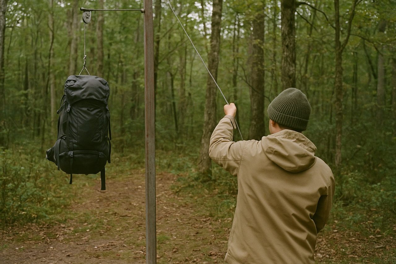
Run the final check before departure
Recheck the NPS backcountry camping rules, current conditions, trail and campsite cautions, Recreation.gov availability, the live forecast, water, and US 441 access. Treat every closure as time-sensitive and use the official park notice, not an old summary, to decide whether it affects this route. Confirm both shelter reservations, the issued permit, parking details, map mileage, and each hiker's turnaround rules while the plan can still change.
Trail breakdown
Trail breakdown
Newfound Gap to Icewater Spring Shelter
Start at Newfound Gap on US 441 and follow the Appalachian Trail to the reserved Icewater Spring Shelter night. Confirm US 441 access, parking rules, the shelter reservation, and the current map before leaving the trailhead. Carry enough water for the leg and treat water from the shelter source only after checking that it is flowing.
Icewater Spring to Pecks Corner Shelter
Continue north on the Appalachian Trail to the reserved Pecks Corner Shelter night. This is the longest outbound leg, with sustained high-ridge travel that can feel slower in fog, wind, cold rain, or heat. Leave Icewater Spring with a route-specific water plan, and refill only at a source you have verified.
Pecks Corner to Newfound Gap
Retrace the Appalachian Trail to Newfound Gap. The return is one long day, so start early and keep enough food, water, and daylight margin for the full distance. The route ends where it began, so no shuttle or on-route resupply is needed. Turn back or change the plan if conditions make the mileage unreasonable.
Highlights
What you’ll remember
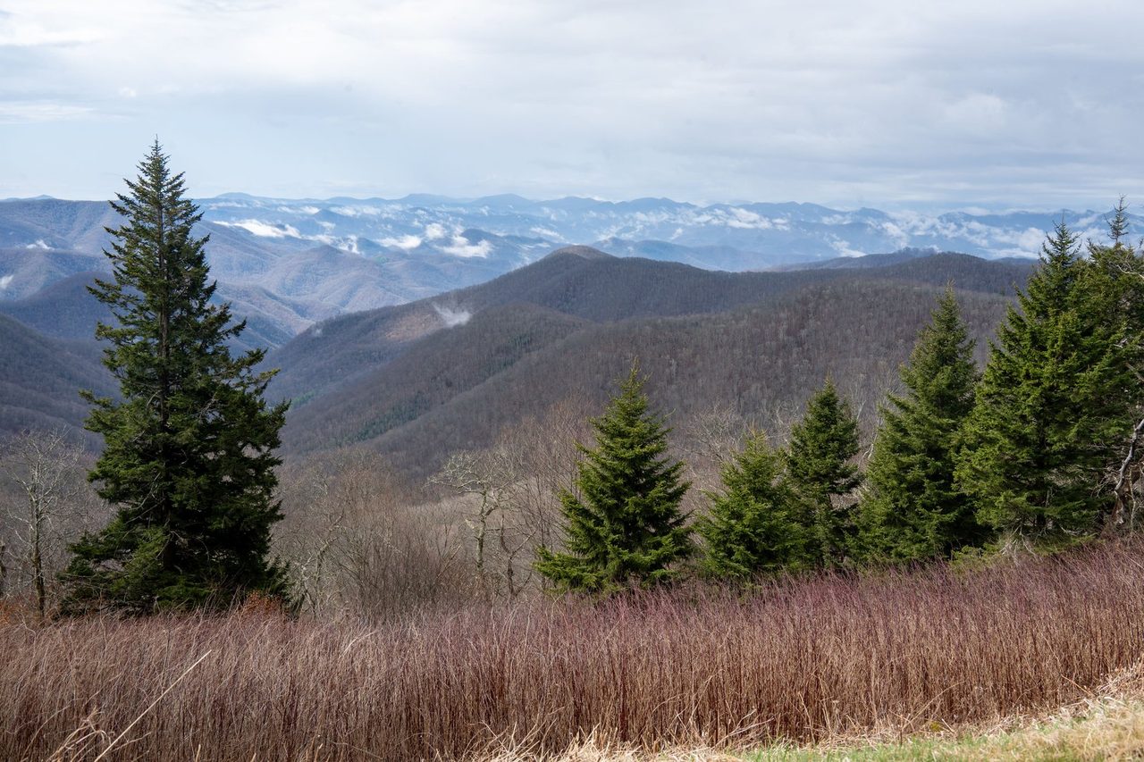
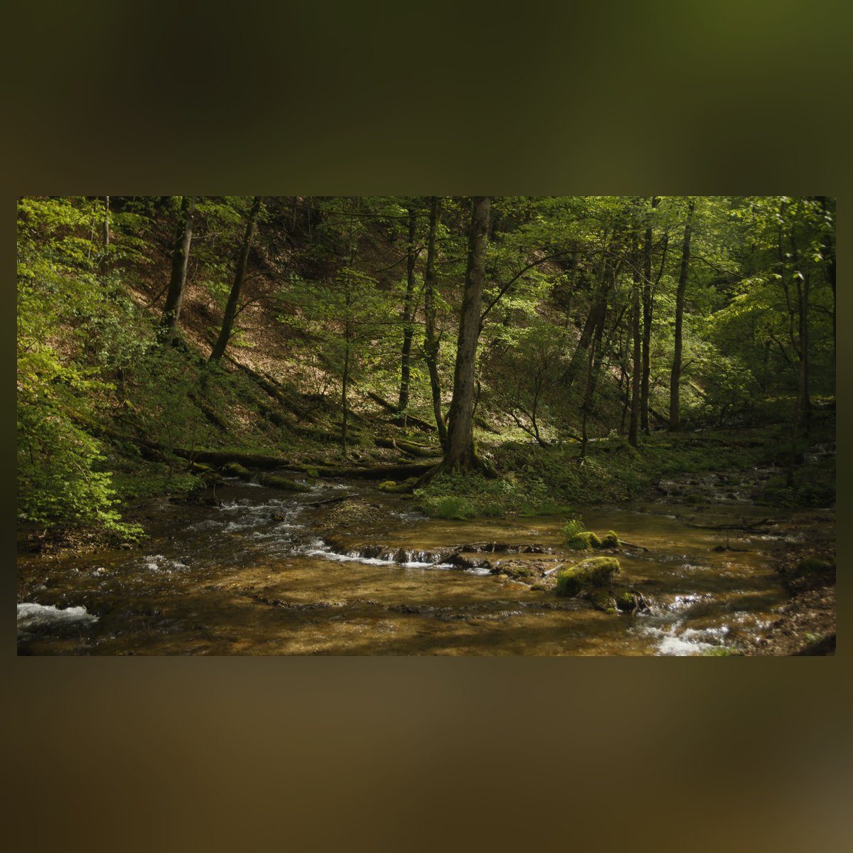
Lower creek and valley terrain
Lower routes are separate trips. They can reduce ridge exposure but still need a verified legal campsite sequence, water plan, and crossing plan.
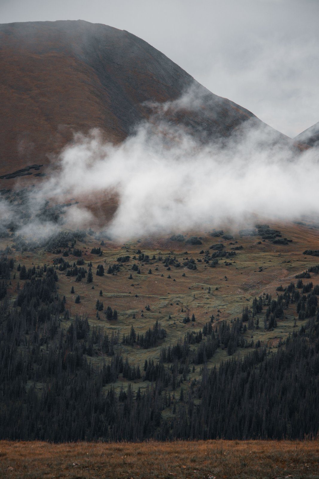
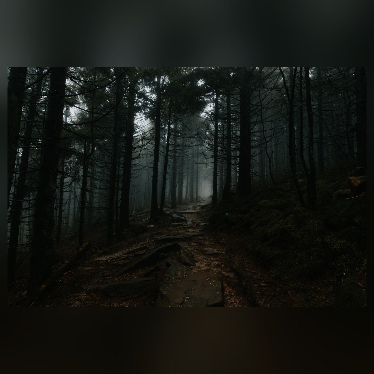
Appalachian Trail ridge
The full itinerary uses the high Appalachian Trail corridor, where weather and effort can change faster than the mileage suggests.
Designated overnight network
Icewater Spring and Pecks Corner are the two legal overnight anchors. Both shelter nights must be reserved for the planned dates.

Kuwohi and park-wide elevation
Kuwohi gives park-wide high-elevation context, but it is not a stop or endpoint on this Newfound Gap to Pecks Corner route.
Hazards & safety
Hazards to plan for
High-ridge weather
Clear weather below does not guarantee the same conditions at higher elevations. Check the live forecast and current park conditions, then carry rain protection and insulation. US 441 can also close during severe weather, so verify access before driving to Newfound Gap.
Water uncertainty
Treat every drinking-water source and verify current flow before departure. NPS hiking guidance gives a general minimum of one liter per two hours, but that is not a route-specific carry plan. Do not assume a mapped source is running.
Rain-swollen streams and damaged tread
NPS warns that backcountry conditions can include swollen streams, bridge washouts, downed trees, and erosion. Do not cross a rain-swollen stream. Turn back or wait for the water to recede rather than forcing a crossing to protect a reservation schedule.
Black bears and scented items
NPS requires food, trash, scented items, and cooking equipment to use the provided bear cable whenever they are not in use. A food-storage device does not replace the cable. If a cable is unavailable or full, follow the current NPS backup-hang rule.
Limited cellular service
Cellular service is extremely limited in the park. Download the official map before leaving, carry a non-phone navigation backup, share the itinerary, and make sure the group knows what to do if it separates.
Resupply
Resupply points
| Stop | Mile | Services | Days to next |
|---|---|---|---|
| Newfound Gap trailhead | 0 and 22 | No food or fuel. Stage every meal, required item, and parking detail before arrival. | Carry the full 3-day trip |
Newfound Gap trailhead
- Mile
- 0 and 22
- Services
- No food or fuel. Stage every meal, required item, and parking detail before arrival.
- Days to next
- Carry the full 3-day trip
Packing checklist
What to pack
Documents and navigation
Water and weather
Camp and wildlife
Terrain and safety
Retailer links on this page are affiliate links. We may earn a commission if you buy, and your price doesn't change. How affiliate links work →
Gear spotlights
What we’re recommending
For the water you'll filter
Water filter
Sawyer Squeeze
Smokies campsites sit near creeks and springs, and the park says to treat all water. The Sawyer Squeeze weighs 3 oz and screws onto common bottles. My review has the flow and the numbers.
Get one honest gear take every Friday.
One email a week: new reviews, one gear pick with my reasoning, and nothing sponsored. Confirm your address and you get my printable 2-page backpacking gear checklist.
You'll get a confirmation link first, and nothing else arrives until you click it. Every email has a one-click unsubscribe. How your email is handled
More from Backpacking
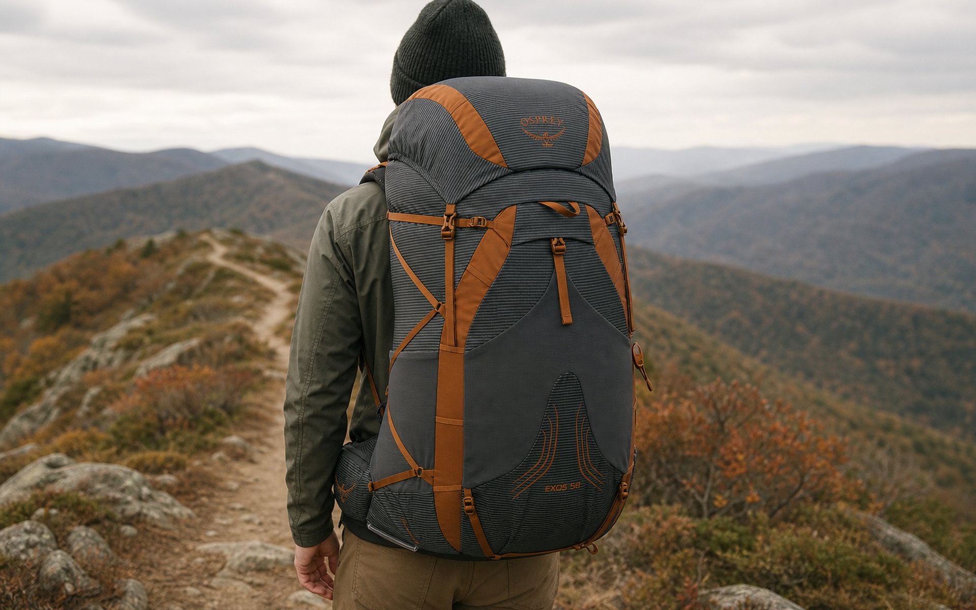
Osprey Exos 58 Review: The 2 lb 13 oz Pack That Carries 35 lb
The Exos 58 is a real frame and a ventilated back at 2 lb 13.4 oz, for 25 to 35 lb loads. Buy it in that window; skip it for ultralight kits or heavy hauls.
 Brooke Wilder
9 min read
Brooke Wilder
9 min read

Garmin inReach Mini 3 Review
The tiny Garmin inReach Mini 3 packs two-way satellite messaging, interactive SOS, and reliable Iridium coverage into 4.31 ounces. Worth it for remote or solo hiking?
Brooke Wilder
8 min read
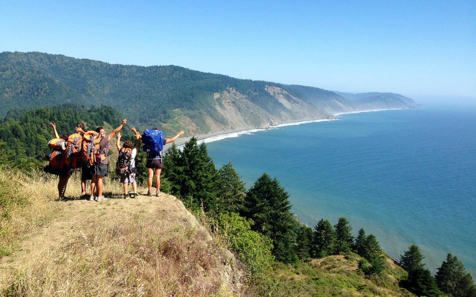
Lost Coast Trail Backpacking Guide
A tide-first guide to the Lost Coast Trail from Mattole Beach to Black Sands Beach, with permits, hazards, and route-planning basics.
Brooke Wilder
28 min read
Why trust BestForBackpacking
Honest gear advice for backpackers, researched, weighed, and recommended.
Every pick is based on deep research: a synthesis of long-term owner reports, independent reviewer tests, and manufacturer specs, weighted by source independence, specificity, and use-case match. Brooke Wilder is our gear editor, the editorial persona who turns that research into a clear recommendation.