
Trail Guides
Appalachian Trail: A Backpacker's Full-Trail Planning Guide
Last updated: September 2026
Full-trail planning guide for the Appalachian Trail's 2,190+ miles from Georgia to Maine. Permits, ten contiguous sections, resupply, transport, gear, budget, and Helene recovery.
 By Brooke9 min read
Share this post
Send it to someone who's planning a trip.

Overview
Why hike the Appalachian Trail
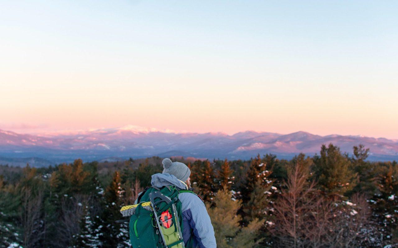
The AT is the longest hiking-only footpath on the planet, and for good reason. It follows the backbone of the Appalachian Mountains for its entire length, keeping to high ridgelines that sweep through hardwood forests, past rocky balds, across rushing creeks, and above treeline in the north. For a thru-hiker, it is a five-to-seven-month commitment that demands planning, physical preparation, and a flexible mindset. For a section hiker, it is a trail that rewards in stages, a weekend on a Virginia ridgeline, a week in the White Mountains, a long summer section through Maine. The National Park Service reported 16.9 million recreation visits to the AT corridor in 2025, the first official visitation count released for the trail. It is well-traveled, well-supported, and well-documented, but no less wild in its hardest stretches.
At a glance
Trail at a glance
Permits
Required in parts
Distance
2,190+ miles
Resupply
Every 3-5 days
Difficulty
Strenuous
Best season
April to September (NOBO)
Best direction
Northbound (most popular)
When to go
When to hike
The trail is open year-round, and the right window depends on where you start and which way you point. Northbound is the standard: most thru-hikers depart Georgia from March to May, ride spring through the South, and arrive in New Hampshire and Maine between July and September, when the weather is best. A mid-April start is the classic sweet spot. Southbound hikers start from Katahdin between late May and early July, racing the north's short season before the trail turns south. Flip-flop hikers, those who start somewhere in the middle and hike to one terminus, then return to their start and hike the other half, spread the crowds and weather variance.
Permits & logistics
Permits & logistics
Permit
Great Smoky Mountains NP Thru-Hiker Permit
Reserve on Recreation.gov. The AT thru-hiker permit covers travel on the trail only. A paid parking tag is required for any stop over 15 minutes in the park.
Permit
Baxter State Park, Katahdin Access
Katahdin access is limited daily. Plan your summit day in advance, especially in late summer. Vehicle reservations into Baxter State Park fill early.
Permit
Shenandoah National Park
The free AT long-distance hiker permit covers the 101 miles of trail through the park. A registration pass is available at any park entrance station.
Permit
National Forest and State Lands
Most national forest and state park sections of the trail require no overnight permit. ATC thru-hiker registration is voluntary and free at appalachiantrail.org.
Permits and regulations
The paperwork is the easiest part of planning, and the rules vary in only a handful of places.
Great Smoky Mountains National Park (72 miles). The park requires a backcountry permit for every overnight trip. The AT thru-hiker permit covers travel on the trail and in the park only. Reserve on Recreation.gov up to 30 days ahead of your entry date. You can begin inside a 15-day window on either side of your reserved date. An approved bear canister is required for every overnight in the park. A parking tag is required for any stop over 15 minutes.
Baxter State Park, Maine. Katahdin access is limited daily. Summit day should be planned in advance, and vehicle reservations into the park may be required. The park opens Katahdin to thru-hikers when conditions allow, typically late May through June.
Shenandoah National Park (101 miles). Camping is permitted only at shelters and designated sites. A free long-distance hiker permit is available when you enter the park.
National forest and state lands. Most sections outside national parks require no overnight permit. The Appalachian Trail Conservancy offers a free, voluntary thru-hiker registration at appalachiantrail.org.
When to go: NOBO, SOBO, and seasons
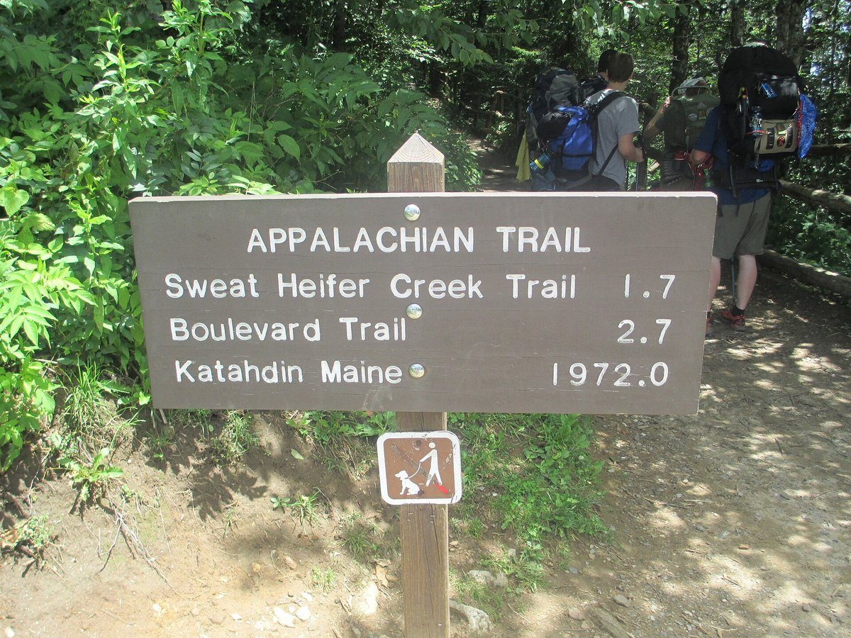
The trail is open year-round, so the right window depends less on the calendar than on where you start and which way you point.
Northbound is the standard. Most thru-hikers start from Georgia between March and May, riding the spring bloom through the South. Smart starts arrive in New Hampshire and Maine between July and September, the best weather window in New England. A mid-April start is the classic sweet spot. An earlier start risks deep snow in the Smokies and cold mud in Virginia.
Southbound starts from Maine. SOBO hikers depart Katahdin between late May and early July, racing the north's short season before the trail turns south. The season is tighter, logistics are harder (fewer hikers to share intel), and the first weeks are the hardest terrain on the whole trail.
Flip-flop. Starting in the middle (Harpers Ferry, Shenandoah, or Delaware Water Gap) and hiking to one terminus, then returning to the start point to finish the other half. This spreads the crowd pressure and weather variance and is an increasingly popular option.
Monthly window. April through September is the prime window for any direction. October is shoulder season in the North (snow possible above treeline). November through February is winter, with deep snow, ice, and limited services.
The trail, section by section
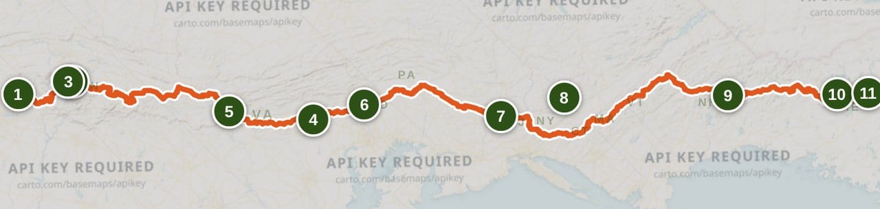
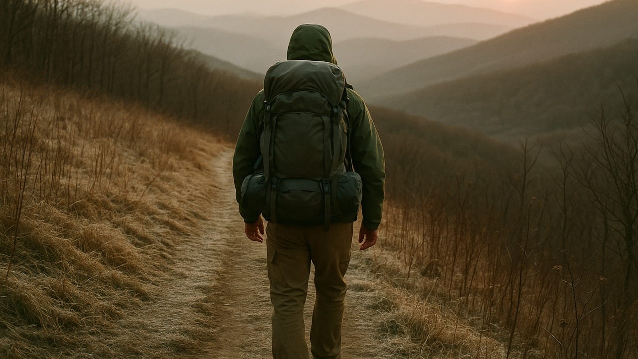
The full route is best understood as ten contiguous stretches that span the entire trail. Each figure below is a planning approximation. State-border mileages do not always add cleanly because the trail shares joint state-line sections on the NC/TN and VA/WV borders. The official blaze-to-blaze length is about 2,190+ miles (the ATC's 2024 figure is 2,197.4), which shifts with each relocation and re-measurement. Treat every mileage here as approximate and verify current numbers on appalachiantrail.org or in the FarOut AT guide.
1. Georgia: about 75 miles from Springer Mountain to the North Carolina line. Steady climbing through the southern terminus range, capped by Blood Mountain.
2. North Carolina and Tennessee: about 390 miles to Damascus, Virginia. The Nantahala Mountains, Fontana Dam, the 72-mile Great Smoky Mountains corridor, Hot Springs, the Roan Highlands, and the approach to Virginia.
3. Virginia: about 550 miles to the West Virginia line. The longest state on the trail. Includes the Triple Crown area (McAfee Knob, Dragon Tooth, Tinker Cliffs), Shenandoah National Park's 101 AT miles, and Harpers Ferry.
4. West Virginia and Maryland: about 45 miles from Harpers Ferry across South Mountain past Annapolis Rock to the Pennsylvania line. The flattest, lowest section of the trail.
5. Pennsylvania: about 230 miles to the Delaware Water Gap. Rocky ridge tread, frequent road crossings, and Pine Grove Furnace State Park as the traditional halfway marker.
6. New Jersey: about 72 miles from the Delaware Water Gap along the Kittatinny Ridge. Smoother tread than Pennsylvania, with good water.
7. New York: about 88 miles through the Hudson Highlands and the southern Catskills. The lowest point on the entire AT near Bear Mountain (124 feet) and the Hudson River pedestrian crossing.
8. Connecticut and Massachusetts: about 140 miles following the Housatonic River valley, across Mt. Greylock (Massachusetts' high point at 3,489 feet), to the Vermont line.
9. Vermont: about 150 miles through the Green Mountains, sharing route with the Long Trail. Mt. Killington's 4,235-foot summit is the high point.
10. New Hampshire and Maine: about 440 miles from the Vermont line to Katahdin. The White Mountains' exposed granite ridgelines (Mount Washington at 6,288 feet), the Mahoosuc Range, the 100-Mile Wilderness, and Baxter State Park. The hardest terrain and the longest carry on the whole trail.
Resupply, transport, and logistics
Towns appear every 3 to 5 days along most of the trail. The longest carry is the 100-Mile Wilderness in Maine (roughly 115 miles from Monson to Baxter State Park), which requires a full resupply packed from the last town.
Getting to Springer Mountain. The southern terminus sits on Springer Mountain, about 8.8 miles from Amicalola Falls State Park via the approach trail. Hikers arrange shuttles from Gainesville, Georgia (the nearest Amtrak and bus hub), or arrive by car and cover the final approach on foot or by shuttle. Several outfitters and hostels operate Springer shuttles; verify seasonality closer to your hike date.
Exiting at Katahdin. Baxter State Park limits daily Katahdin entries and requires vehicle reservations for parking. Most thru-hikers come down via the Katahdin Stream or Abol Slide routes and arrange a shuttle from Millinocket or Medford, Maine. Shuttles from Millinocket connect to bus service toward Bangor (which has an airport) and Boston. Plan your exit roughly a week ahead.
Resupply strategy. Buy as you go in trail towns (most common and flexible), mail drops to post offices or hostels (more control, less flexibility), or a hybrid approach. The FarOut AT guide (@InfoServicesATC) is the current real-time resource for resupply point details, hours, and services, and appalachiantrail.org has an up-to-date town listing.
Budget. Community consensus for a full thru-hike runs $3,000 to $6,000, covering food, lodging in towns, gear replacement, permits, and incidentals. Permits add only modest costs: the GSMNP parking tag, Shenandoah entrance fee, and Baxter State Park day-use fee.
Key resupply hubs. Damascus (VA), Harpers Ferry (WV), Delaware Water Gap (PA), Hanover (NH), and Rangeley (ME) are major trail towns with full grocery and gear options. Verify hours and seasonality closer to your hike date.
Navigation. The FarOut app (formerly Guthook) is the standard navigation tool on the AT, with offline GPS mapping, water source annotations, and real-time trail updates. The ATC paper databook or section maps serve as backup. Cell service is poor to nonexistent in the White Mountains, the 100-Mile Wilderness, Shenandoah gaps, and the Smokies. A personal locator beacon is common among solo hikers.
Water. Natural sources (streams, springs, and ponds) are frequent, but reliability drops in late summer and on ridgecrests in Pennsylvania and northern Virginia. Treat every drop. Carry 2 to 4 liters of capacity. Norovirus and giardia are present along the corridor; filtration (Sawyer Squeeze, Katadyn BeFree) or chemical treatment is essential, and the FarOut water-source annotations are the best real-time guide to seasonal reliability.

Gear fundamentals for the AT
Gear choices on the AT are personal, but a few categories matter for every hiker.
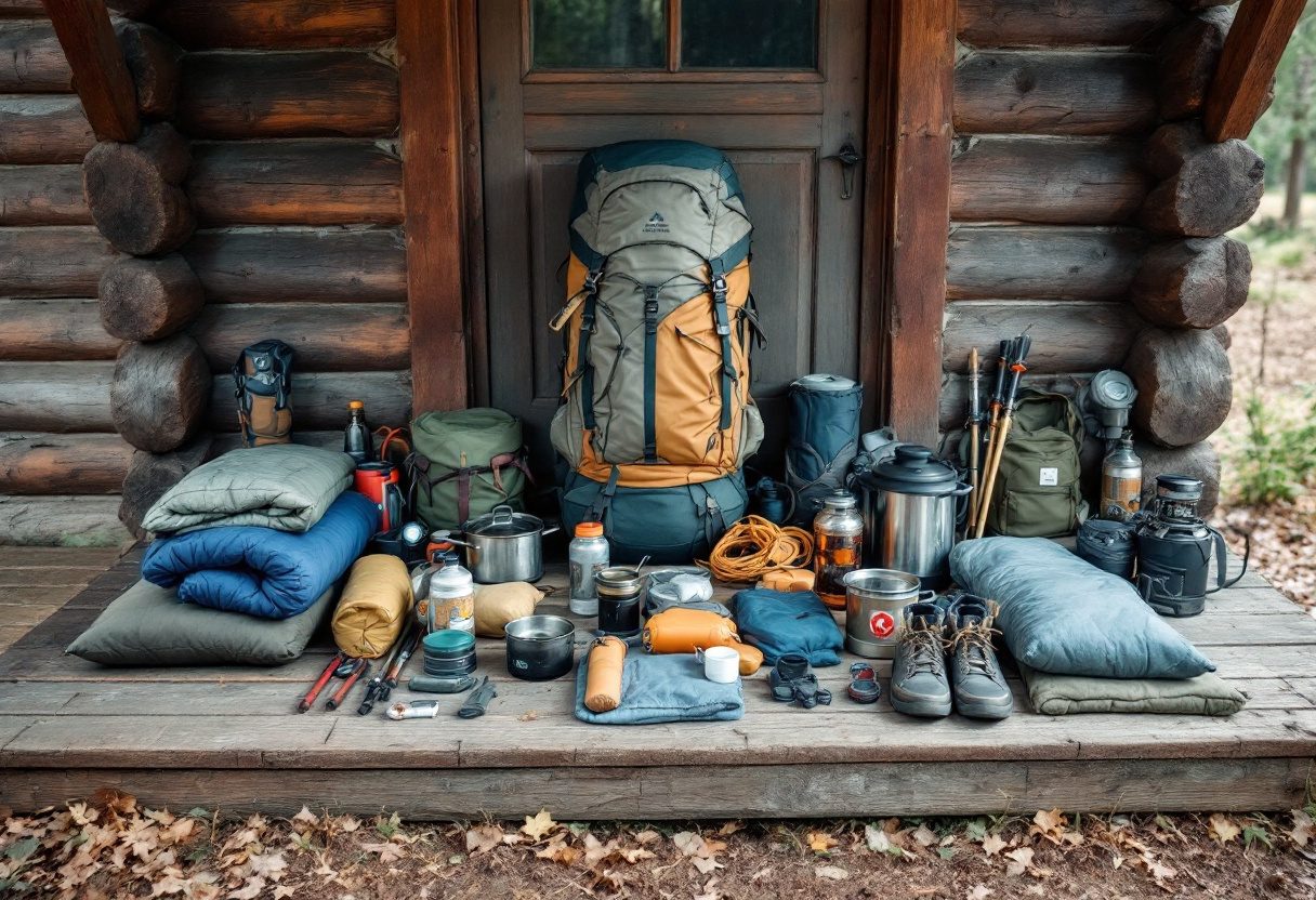
Shelter. A tent, hammock, or tarp. The AT has shelters spaced roughly every 10 to 15 miles in most sections, but they fill up and can host norovirus. Carrying your own shelter gives you flexibility.
Sleep system. A sleeping bag or quilt rated to 20 degrees F for three-season use, plus a sleeping pad. The temperature range on a thru-hike spans from freezing nights in the Smokies to warm summer evenings in Virginia.
Pack. Any pack that fits your torso and carries your load comfortably. Thru-hikers typically carry packs in the 40-to-65-liter range, with total base weight anywhere from 12 to 25 pounds.
Footwear. Trail runners are the dominant choice for thru-hikers today, with boots used more in rocky northern sections. Blister management is a daily reality.
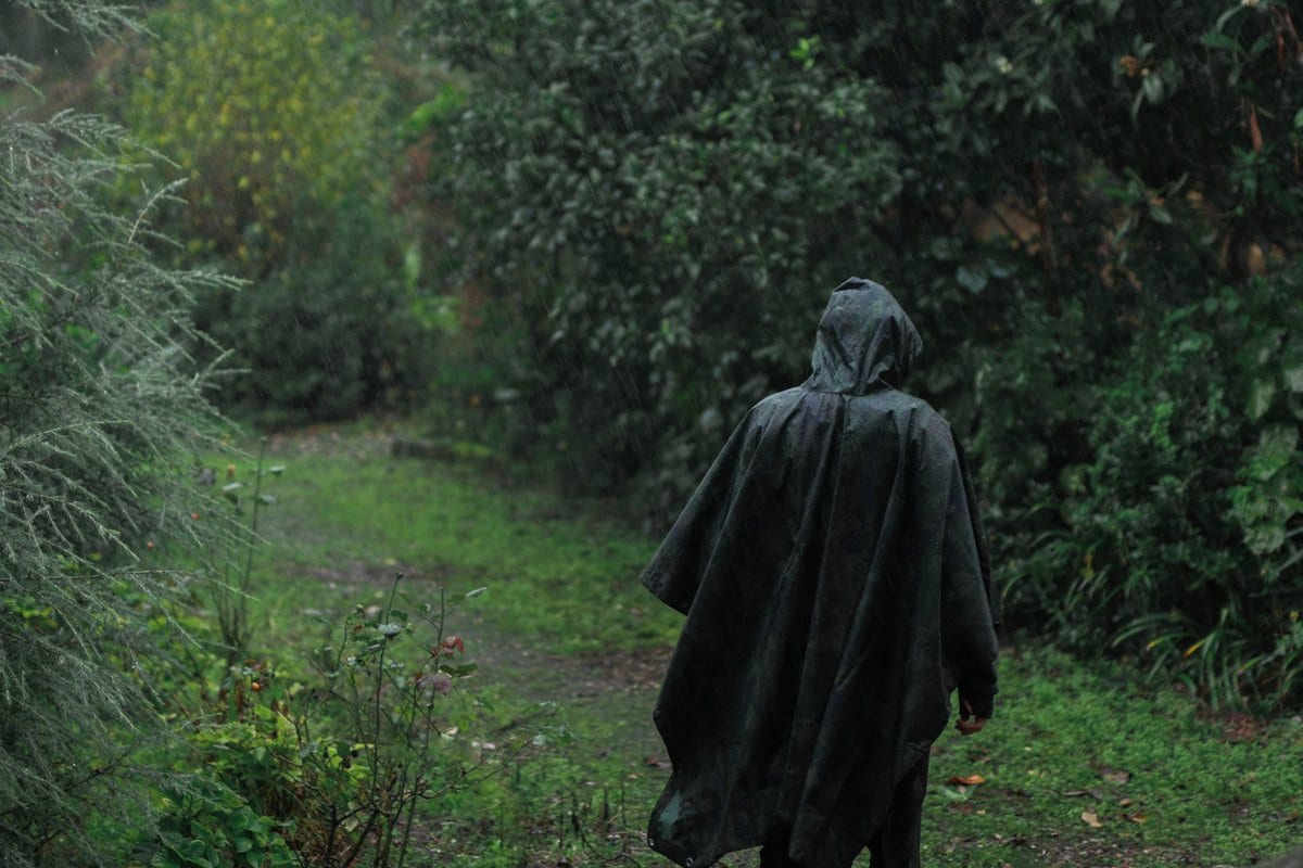
Rain gear. A rain jacket and pack liner or waterproof pack. The AT is wet. Expect multiday rain in the Smokies, Shenandoah, and the White Mountains.
Water treatment. A filter (Sawyer Squeeze, Katadyn BeFree, or similar) or chemical treatment. Plan to treat every source.
Navigation. The FarOut app (formerly Guthook) is the standard navigation tool on the AT, paired with the printed ATC databook or paper maps as backup.
Bear canister. Required in Great Smoky Mountains NP. Optional elsewhere, though some sections with high bear activity may encourage their use.
Safety on the trail
The AT is a remarkably safe trail, but the risks are real and worth preparing for.
Water. Norovirus has been reported at shelters and campsites. Filter or treat every drop without exception; giardia and crypto are present in streams even in remote sections. Carry 2 to 4 liters of capacity. The longest carries without reliable water are on ridgecrests in Pennsylvania and northern Virginia in late summer. Do not wash dishes in the water source at camp, and handwashing is your best defense against norovirus.
Bears. Black bears are present on the entire trail. Store food properly every night. In the Smokies, an approved canister is mandatory. Elsewhere, use the bear cables, poles, and boxes provided at campsites and shelters. Bear canisters and scent-safe bags are increasingly common across the whole trail as human-bear interactions rise.
Weather. Lightning on open ridgelines is a genuine danger. Above treeline in the White Mountains and Maine, hypothermia can set in even in July. Carry proper layers and rain gear. Bail off exposed terrain when storms approach. Snow can linger above treeline into June in New England and can return in October.
Ticks. Lyme disease is endemic along the entire trail corridor. Check for ticks daily and use permethrin-treated clothing and repellent. Risk is highest from May through July.
Staying found. The trail is marked with white blazes: a single blaze means stay on the trail, and two stacked blazes mean a turn or change in direction is coming. FarOut works offline for navigation. Cell service is poor to nonexistent in long stretches, especially the White Mountains, the 100-Mile Wilderness, Shenandoah gaps, and the Smokies. A personal locator beacon or InReach messenger is common among solo hikers for emergencies, paired with the ATC paper databook or section maps as backup.
Injuries. Pennsylvania's rock fields and New England's steep, rooty climbs punish ankles and knees. Train for descending, keep mileage modest in the hard northern states, and know the road crossings where you could get out. Fatigue injuries are the leading cause of thru-hiker dropouts. Listen to your body months before you listen to your schedule.
Trail breakdown
Trail breakdown
Georgia (Springer Mountain to Bly Gap)
Georgia packs the start of the trail with a sustained climb from Springer Mountain at 3,782 feet to Blood Mountain at 4,461 feet, the state's high point on the AT. The 8.8-mile approach trail from Amicalola Falls State Park is the most common starting route. Bly Gap marks the North Carolina line at roughly mile 78. Shelters and water are frequent. Spring starts (mid-March to mid-April) can bring snow and cold; May is milder.
North Carolina and Tennessee (Bly Gap to Damascus, VA)
This long stretch carries the trail through the Nantahala Mountains, past Fontana Dam (around mile 165), across the 72-mile Great Smoky Mountains corridor including Clingmans Dome at 6,643 feet, through Hot Springs and Erwin, and over the Roan Highlands. Great Smoky Mountains NP requires a backcountry permit and an approved bear canister. Fontana Dam marks the southern park boundary and Davenport Gap the northern exit. The stretch ends at Damascus, Virginia, a major resupply town and trail hub.
Virginia (Damascus to the West Virginia line)
Virginia carries the longest state mileage on the trail, roughly 550 miles, about one quarter of the whole AT. Highlights include the Triple Crown area (McAfee Knob, Dragon Tooth, Tinker Cliffs), Shenandoah National Park's 101 trail miles with frequent shelter and road access, and the Blue Ridge Parkway corridor. The park offers a free long-distance hiking permit. Mt. Rogers, Virginia's highest peak at 5,729 feet, is a short side hike away. Harpers Ferry at the northern end is the trail's psychological midpoint.
West Virginia and Maryland (Harpers Ferry to the Mason-Dixon Line)
The AT crosses the Potomac River footbridge at Harpers Ferry, home to the Appalachian Trail Conservancy headquarters and a full resupply town or zero-day stay. The trail runs about 4 miles through West Virginia's eastern panhandle before spending roughly 41 miles along Maryland's South Mountain ridge. The state line at Pen Mar Park marks the transition into Pennsylvania. This is the flattest, lowest section of the entire trail.
Pennsylvania (Mason-Dixon Line to the Delaware Water Gap)
Pennsylvania carries roughly 230 miles of the AT, known for its rocky ridges and frequent road crossings with good resupply access. The trail crosses farmland, forest, and the Lehigh River at Lehigh Gap before reaching the Delaware Water Gap at the New Jersey line. Pine Grove Furnace State Park is often cited as the official halfway point, though the exact midpoint shifts with reroutes.
New Jersey (Delaware Water Gap to the New York line)
New Jersey's roughly 72-mile section climbs the Kittatinny Ridge from the Delaware Water Gap, passing Sunfish Pond and High Point State Park, before reaching the New York border. The tread is smoother than Pennsylvania's rocks. Resupply at the Water Gap town.
New York (New Jersey line to the Connecticut line)
New York's roughly 88 miles combine the Hudson Highlands and the southern Catskills. Highlights include Bear Mountain State Park, the lowest point on the entire AT at 124 feet (near the Bear Mountain Zoo), and the Hudson River pedestrian crossing. The Metro-North train at the Appalachian Trail station offers rare public-transit access. Resupply at Fort Montgomery, at the foot of the Bear Mountain Bridge.
Connecticut and Massachusetts (NY line to the Vermont line)
Connecticut's roughly 52 miles follow the Housatonic River valley on rocky ridgelines. Massachusetts adds about 90 miles, leading through the Taconic Range to Mt. Greylock at 3,489 feet, the state's high point and the highest AT peak south of New Hampshire. Sages Ravine, on the Massachusetts and Connecticut border, is a standout section.
Vermont (Massachusetts line to the New Hampshire line)
Vermont's roughly 150 miles run north through the Green Mountain National Forest, crossing Stratton Mountain and Killington Peak, Vermont's highest AT summit at 4,235 feet. The Long Trail, the oldest long-distance path in the United States, shares the AT route for about 100 miles. Resupply at Manchester Center and Rutland.
New Hampshire and Maine (Vermont line to Mount Katahdin)
New Hampshire's roughly 161 miles include the White Mountains, the hardest section of the AT by most accounts. Exposed granite ridgelines cross the Franconia and Presidential Ranges, including Mount Washington at 6,288 feet. The AMC hut system provides shelter, meals, and bunk space along 56 miles of the range. Maine's roughly 281 miles cover the Mahoosuc Range (including Mahoosuc Notch, widely considered the hardest mile on the AT), the 100-Mile Wilderness, and Baxter State Park, ending at Katahdin. The longest carry on the trail runs about 115 miles from Monson to Baxter State Park.
Highlights
What you’ll remember
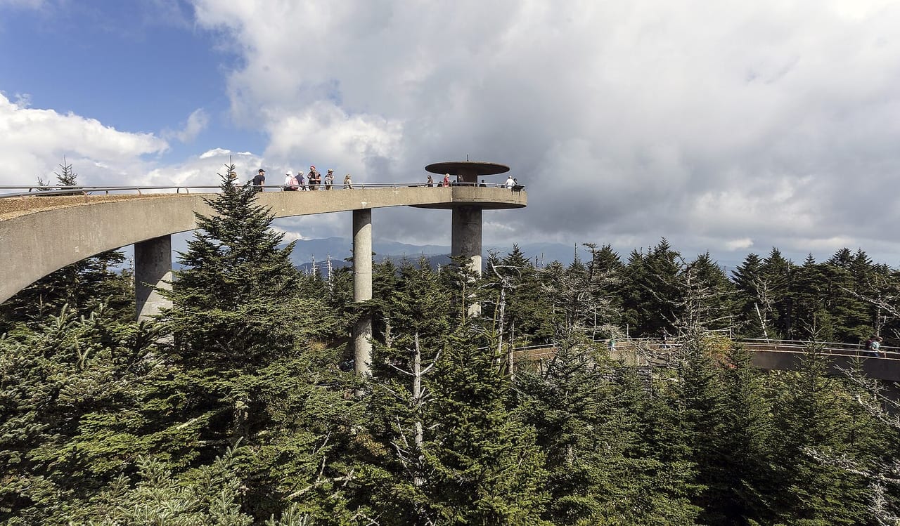
Clingmans Dome
Highest point on the AT at 6,643 feet in Great Smoky Mountains NP, with a lookout tower and panoramic southern views.

McAfee Knob
Virginia's iconic overhang ledge, the most photographed spot on the entire AT.
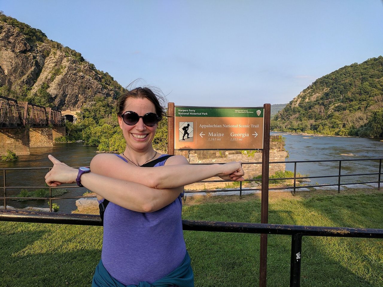
Harpers Ferry
The AT's midpoint at the confluence of the Potomac and Shenandoah, home to ATC headquarters.
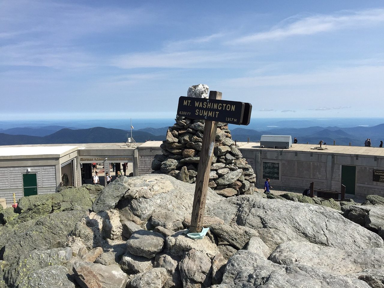
Mt. Washington
The exposed summit of Mount Washington and its high-alpine terrain.
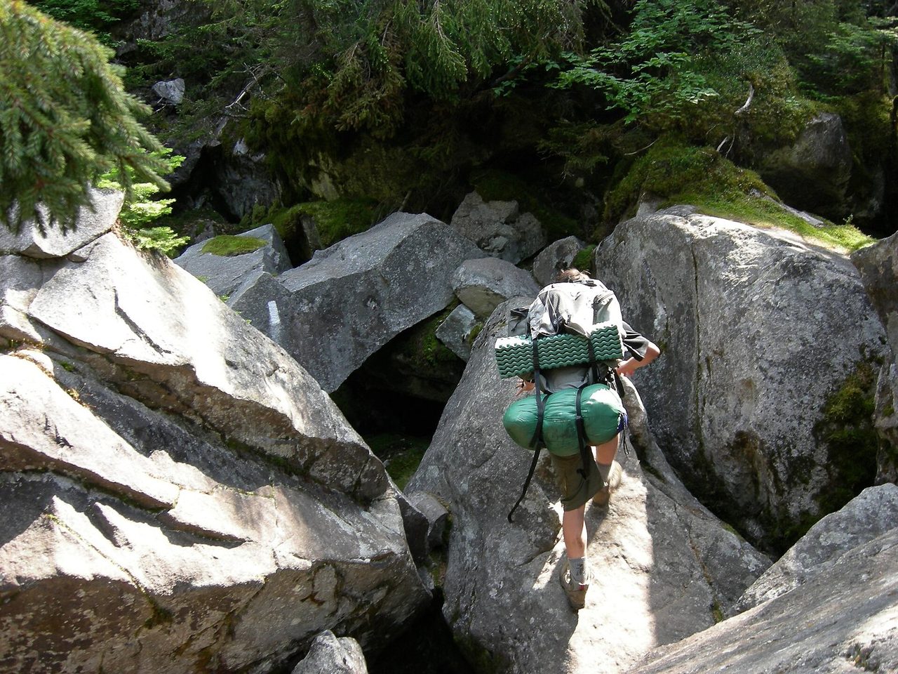
Mahoosuc Notch
The boulder-choked route through Mahoosuc Notch in Maine.
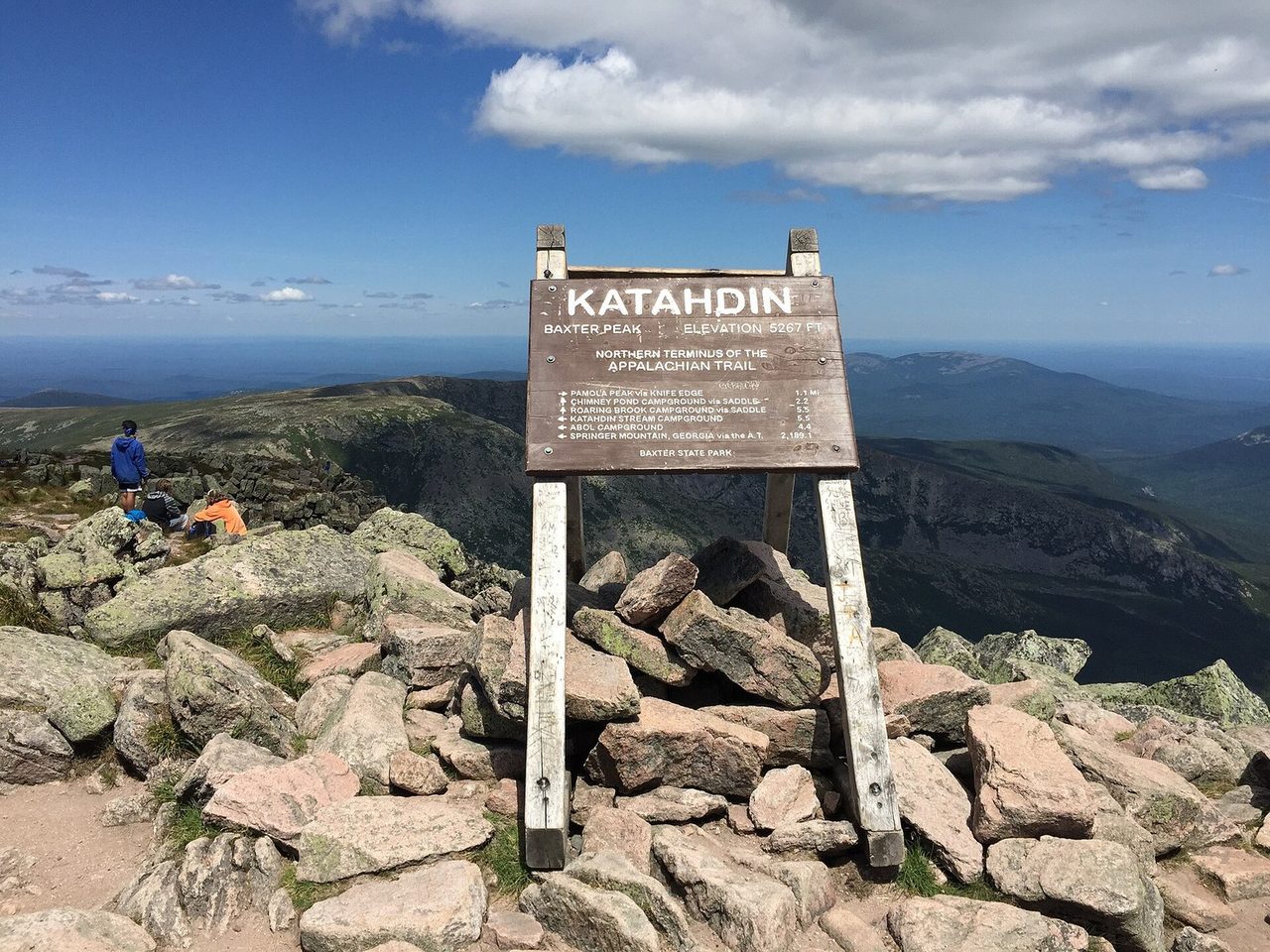
Katahdin Summit
The Baxter Peak summit sign at the Appalachian Trail's northern terminus.
Hazards & safety
Hazards to plan for
Black bears and food storage
Black bears are present along the entire trail. Great Smoky Mountains NP requires an approved bear canister for every overnight. Elsewhere, use bear boxes, cables, and poles at shelters and campsites. Never leave food or scented items in a tent. As of September 2026, bear activity is higher near McAfee Knob (VA), Silers Bald (GSMNP), and Rhododendron Gap (VA).
Weather and hypothermia
Ridgelines attract lightning, and above-treeline exposure in the White Mountains and Maine can produce hypothermia in any season. Carry insulation and rain gear. Watch afternoon skies and know your bailout points. Exposed terrain above treeline becomes dangerous fast in storms and fog.
Tick-borne illness and norovirus
Lyme disease is present throughout the trail corridor. Check for ticks daily and use repellent. Norovirus outbreaks have been reported at shelters. Filter or treat all water. Carry 2 to 4 liters of capacity. Do not wash dishes in the water source at camp. Handwashing is your best defense.
Rocky terrain and injuries
Pennsylvania's rock fields and New England's steep, rooty climbs punish ankles and knees. Train for descending. Keep mileage modest in the hard northern states. Know the road crossings where you could get out if an injury stops you.
Hurricane Helene closures
Hurricane Helene (September 2024) caused extensive damage to the southern AT. As of September 2026, many sections remain closed. Active: Derrick Knob Shelter (GSMNP), Harpers Ferry footbridge (road detour), War Spur Bridge (central VA), and a relocation on the Andy Layne Trail. Iron Mountain Gap (NC/TN) has reopened. Check appalachiantrail.org/trail-updates and FarOut before any section.
More from Trail Guides
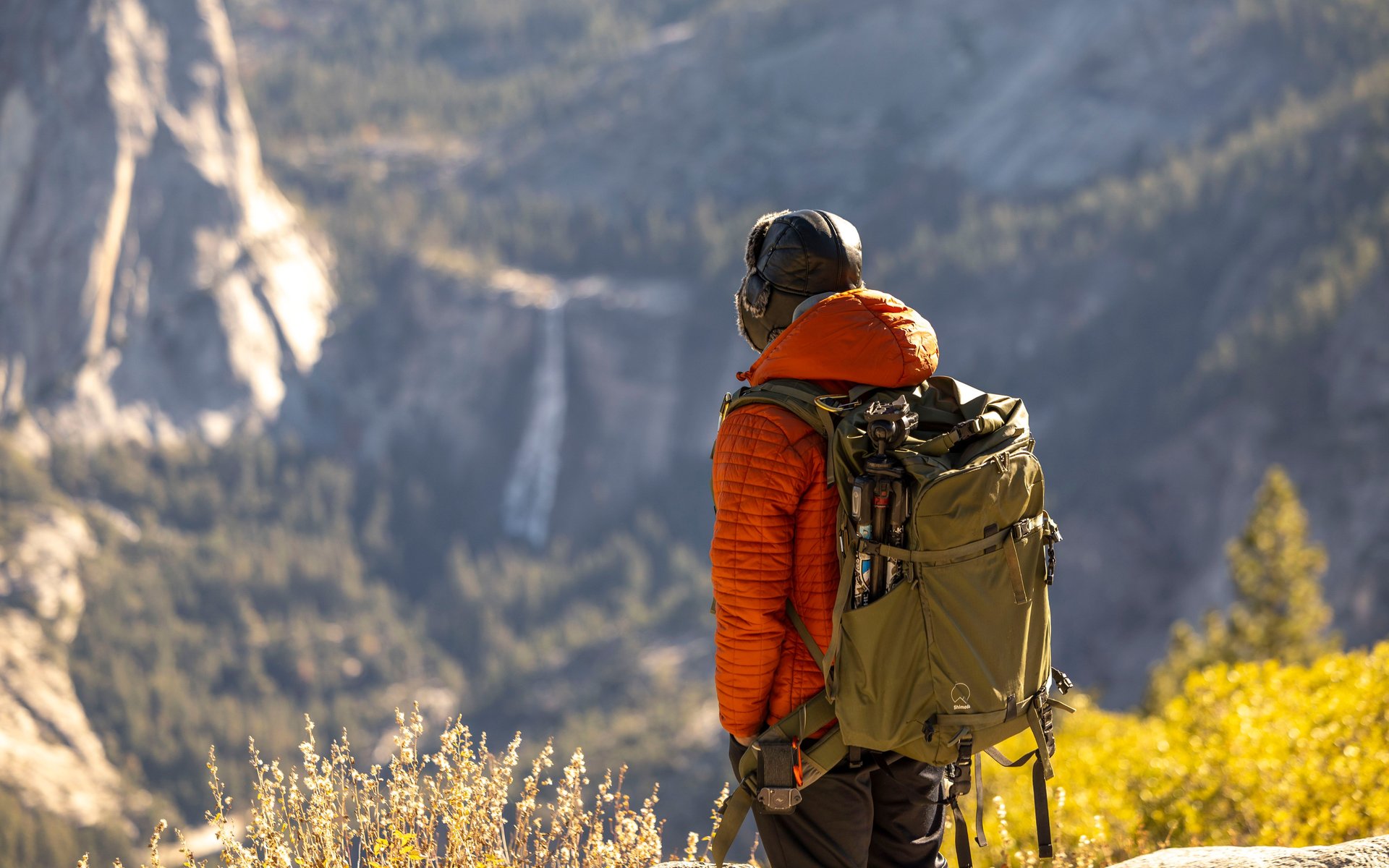
John Muir Trail: A Safety-First Planning Guide
Plan the John Muir Trail with verified permit, resupply, weather, altitude, and safety guidance for a Sierra thru-hike.
 Brooke Wilder
27 min read
Brooke Wilder
27 min read
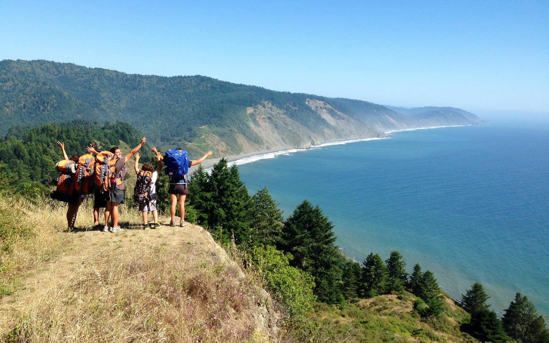
Lost Coast Trail Backpacking Guide
A tide-first guide to the Lost Coast Trail from Mattole Beach to Black Sands Beach, with permits, hazards, and route-planning basics.
Brooke Wilder
26 min read
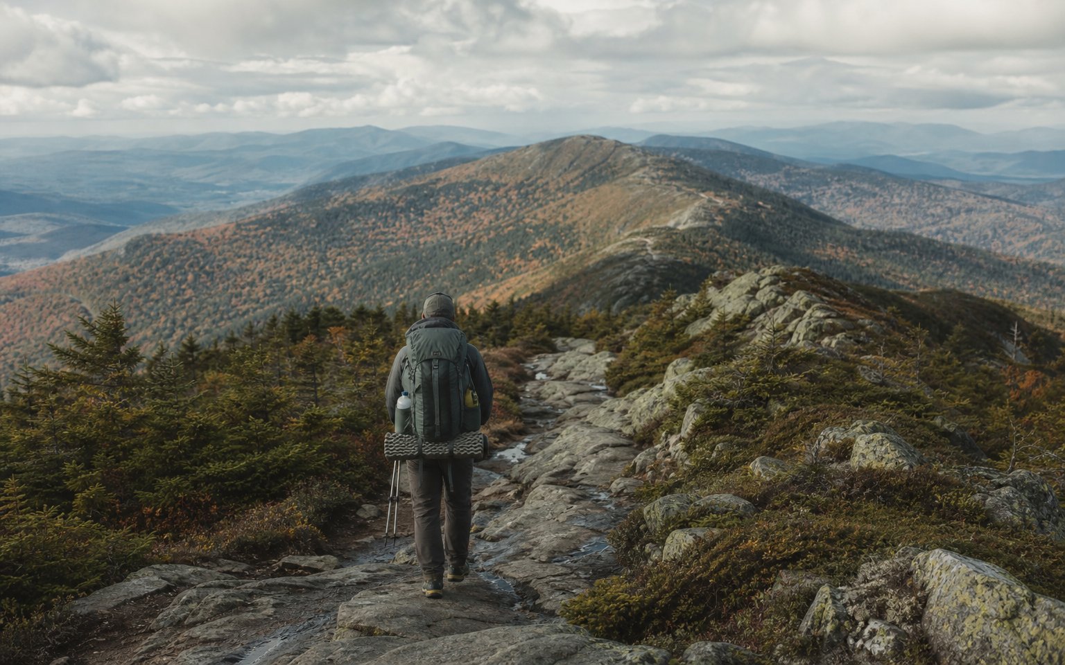
Vermont Long Trail: The Complete Thru-Hiker's Guide
The Vermont Long Trail runs the length of Vermont along the main ridge of the Green Mountains, from the Massachusetts border to the Canadian border. It is the oldest long-distance hiking trail in the United States and the Green Mountain Club is still the route's central steward. The Appalachian Trai
Brooke Wilder
8 min read
Get one honest gear take every Friday.
No spam. Just gear picks, packing lessons, and notes from this week's research.
Why trust BestForBackpacking
Honest gear advice for backpackers, researched, weighed, and recommended.
Every pick is based on deep research: a synthesis of long-term owner reports, independent reviewer tests, and manufacturer specs, weighted by source independence, specificity, and use-case match. Brooke Wilder is our gear editor, the editorial persona who turns that research into a clear recommendation.