
Trail Guides
Vermont Long Trail: The Complete Thru-Hiker's Guide
Last updated:
 By Brooke3 min read
Share this post
Send it to someone who's planning a trip.

Overview
Vermont Long Trail Overview
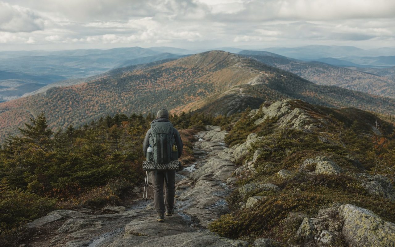
The Vermont Long Trail runs the length of Vermont along the main ridge of the Green Mountains, from the Massachusetts border to the Canadian border. It is the oldest long-distance hiking trail in the United States and the Green Mountain Club is still the route's central steward. The Appalachian Trail shares the southern 100 miles, then splits east at Maine Junction, just north of Sherburne Pass, while the Long Trail keeps pushing north into steeper, wetter, and quieter terrain.
This is a compact thru-hike, not an easy one. The mileage looks approachable next to the AT or PCT, but the tread is classic Northeast work: roots, slick rock, mud, short steep climbs, and weather that can change fast on the high ridges. Most hikers should plan for a two-to-four-week trip depending on pace, town time, and how much cushion they want for wet weather.
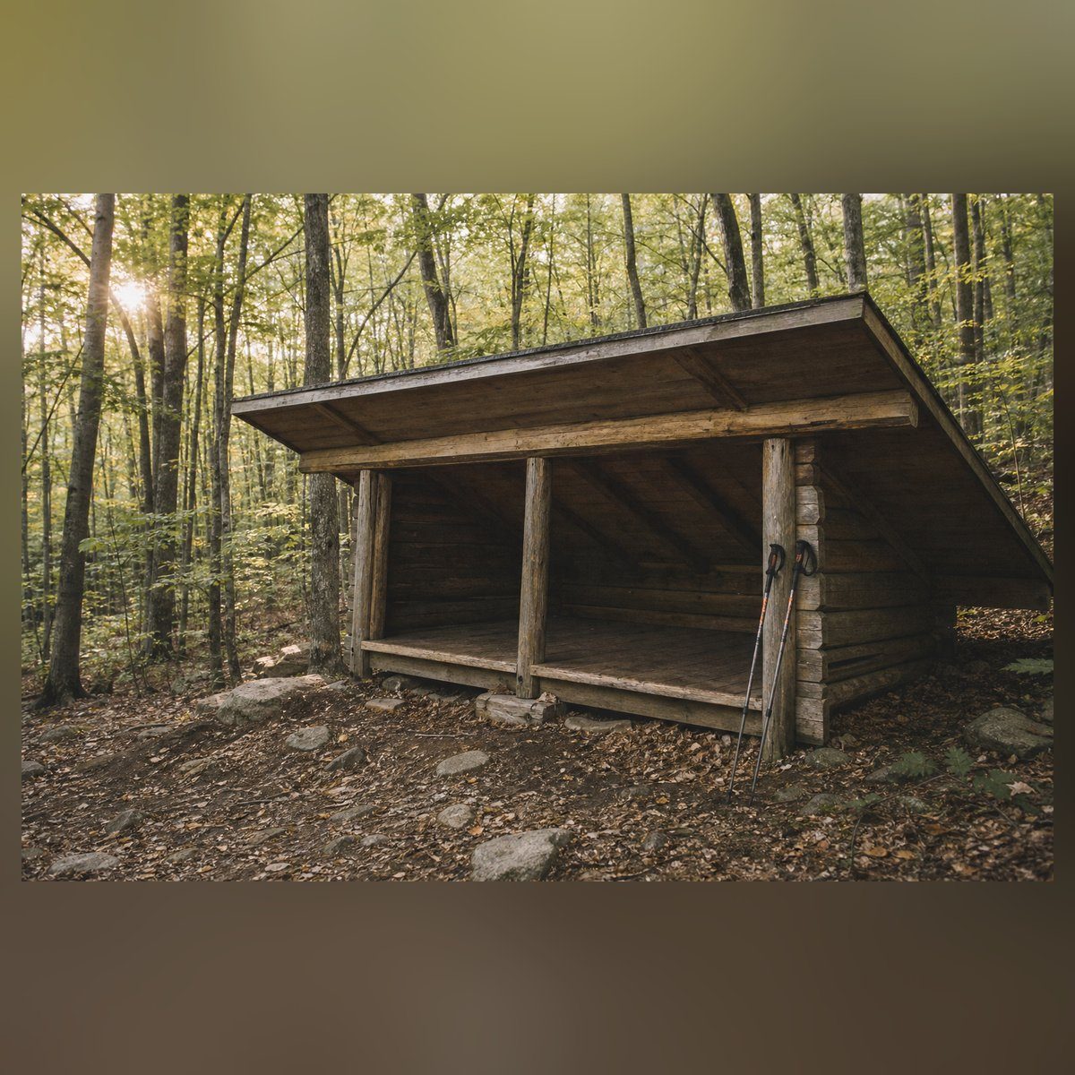
The trail's shelter network is one of its strengths. GMC shelters, tent platforms, and designated sites are frequent enough that you can plan realistic days without forcing every camp. All 70 overnight sites are free and first-come, first-served. Caretaker-staffed sites run on donations, not fees, and GMC membership is optional support for the trail rather than a permit (GMC, checked October 17, 2026).
At a glance
Trail at a glance
days
About two to four weeks for most thru-hikers
permit
No permit for individual hikers; some groups need one (GMC)
distance
272 miles (GMC)
difficulty
Strenuous Northeast backpacking
best season
Late June through mid-October
elevation gain
Not published here until authoritative route data is confirmed
Permits & logistics
Permits & logistics
Permit
No Thru-Hike Permit
Permit
Caretaker Sites: Donations, No Fees
Permit
Check Current GMC Rules
Southern Section
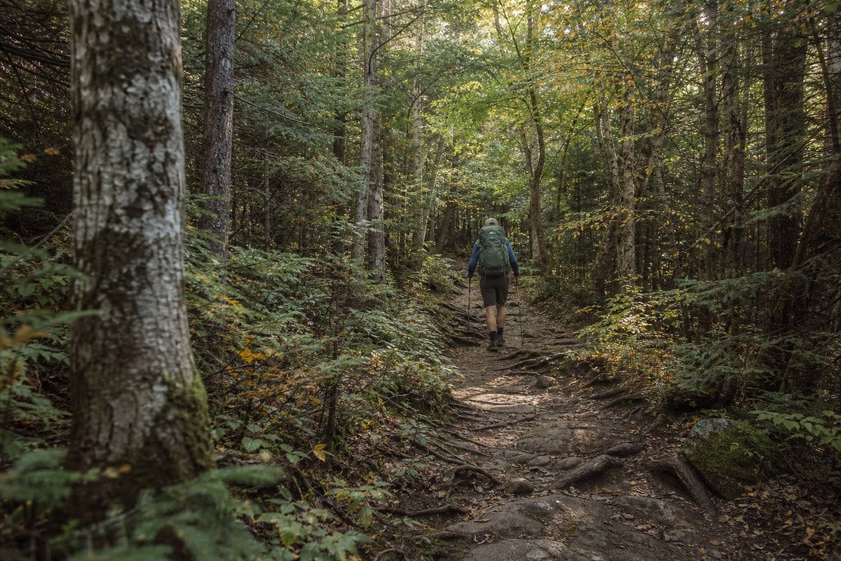
The Long Trail starts at the Massachusetts border and shares its southern tread with the Appalachian Trail. That overlap matters for planning: shelters are familiar, towns are easier to reach, and the early miles give you room to adjust without feeling isolated.
Do not mistake accessible for dry or simple. Southern Vermont can still be muddy, rooty, and slow after rain. Glastenbury, Stratton, Bromley, and Killington give the section its shape, with ski-area summits and forested ridges rather than constant open views. Manchester Center and the Rutland/Killington area are the main resupply anchors.
Use this stretch to test your kit. If your shoes stay soaked, your sleep system feels marginal, or your food carries are too optimistic, fix it here before the northern half adds steeper terrain and fewer simple bailouts.
Middle Section
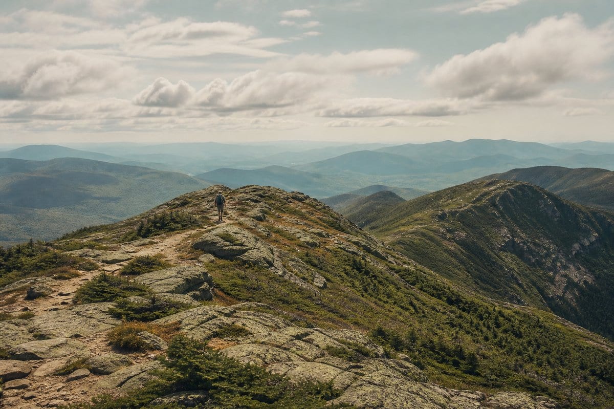
Sherburne Pass is where the Long Trail stops feeling like an AT alternate and starts feeling like its own trip. From here north, the trail gets quieter and the logistics spread out. The Brandon Gap area is also where Mount Horrid belongs in the story: the Long Trail passes close enough for a short spur to the Great Cliff, a viewpoint with seasonal peregrine-falcon closures. It is not a full route summit objective, and it should be planned as a conditional side trip.
The middle miles are a mix of forest, ridge, boggy tread, and old shelter culture. You will pass close to classic central Vermont terrain without getting the clean alpine drama of Mansfield yet.
Plan conservative days if the forecast is unsettled. A twenty-mile day on smooth western trail does not translate cleanly to this tread.
Northern Section
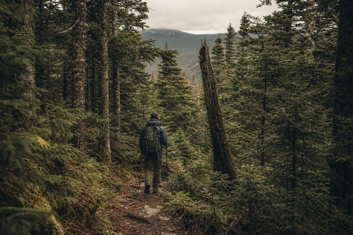
Camel's Hump and Mount Mansfield are the headline peaks, but the northern half is bigger than those two summits. Camel's Hump asks for careful alpine-zone travel and patience with day-hiker traffic. Mansfield adds exposure, crowds from the auto road and gondola corridor, and the most serious ridge weather on the trail.
Once you leave Smugglers' Notch, the trail trends wilder. The Sterling Range, Belvidere Mountain area, and Jay Peak approach are the pieces that make the last third feel remote for a trail this close to Vermont towns. Elmore Mountain should not be routed into this stretch; it is east of the Long Trail and belongs to a separate Elmore State Park hike.
The Canadian border finish is quiet and logistically awkward. Arrange transportation before you are tired, hungry, and out of service at the monument.
Logistics and Season
The practical hiking window is usually late June through mid-October, with the best balance of open trail, manageable weather, and full services in summer and early fall. Spring mud-season closures are real conservation rules, not suggestions. Check GMC trail updates before committing to any late-spring itinerary.
Shelters and tent platforms are first-come, first-served in the normal thru-hiker rhythm. There's no fee at any of them: caretaker-staffed sites run on donations. Tenting is banned above 2,500 ft, some sites have a fire pit while others ban fires outright, and high-use areas around Camel's Hump and Mansfield have stricter camping rules. Overnight groups are capped at 10 including leaders, must use designated group sites, and may need a Green Mountain National Forest or Vermont state permit (GMC, checked October 17, 2026).
The cleanest resupply plan uses a mix of trail towns, shuttleable road crossings, and a final plan around Jay Peak or Montgomery Center before the border. Build in at least one weather day if you care about hitting Mansfield or Camel's Hump in conditions worth remembering.
Gear Notes
The Long Trail rewards boring wet-weather competence. Reliable rain gear, a shelter that pitches fast in rain, dry sleep layers, and footwear you can manage when soaked matter more than shaving the last ounce. Trekking poles are useful for mud, roots, and steep descents.
A light kit works here, but fragile planning does not. Food hangs or canister-style storage should match the site rules where you camp, and water treatment is mandatory even when sources look clear. Download maps before the trip and carry the current GMC guide or digital equivalent, because side trails and road exits can decide whether a hard day stays manageable.
Trail breakdown
Trail breakdown
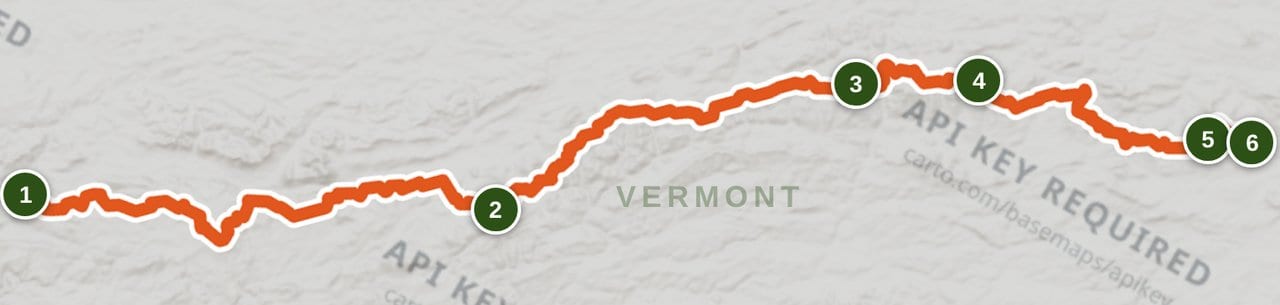
Southern miles: Massachusetts border to Sherburne Pass
The southern Long Trail shares tread with the Appalachian Trail and gives most thru-hikers their easiest logistics of the trip. Expect wet forest walking, steady but manageable climbs, frequent shelters, and early town access around Manchester Center and Rutland-area trailheads. This is the right place to settle your pace and figure out whether your rain system, footwear, and food carries are working.
Central miles: Sherburne Pass to Brandon Gap and beyond
Just north of Sherburne Pass, at Maine Junction, the Appalachian Trail turns east and the Long Trail keeps north. The route starts to feel more distinctly Vermont here, with fewer thru-hiker crowds and more up-and-down ridge walking. Near Brandon Gap, Mount Horrid is best understood as the Great Cliff side trip: follow the Long Trail north from the gap, then take the short blue-blazed spur to the cliff overlook when it is open. Seasonal peregrine closures can affect the cliff, so treat that spur as a check-before-you-go viewpoint, not a guaranteed stop.
Middle high country: Camel's Hump to Mount Mansfield
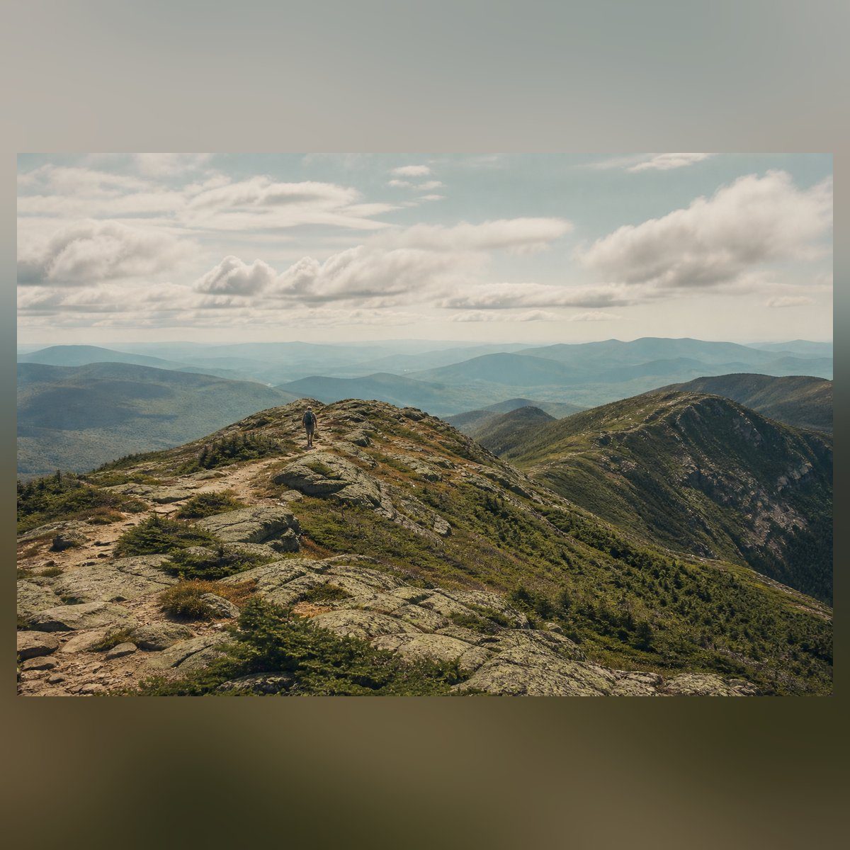
The central high-country miles carry the emotional weight of the route. Camel's Hump has sensitive alpine vegetation and a steep, memorable profile; stay on durable rock and expect day-hiker traffic in good weather. Mount Mansfield is Vermont's high point and gives the Long Trail its longest above-treeline ridge walk. The ridge is exposed, popular, and weather-sensitive, so a clear morning matters more than forcing a fixed itinerary.
Northern miles: Smugglers' Notch to Jay Peak
North of Smugglers' Notch the trail becomes quieter and more committing. The Sterling Range, Belvidere Mountain area, and Jay Peak approach put more pressure on your resupply plan because towns sit farther from the footpath. This section should feel wild, but it should not include Elmore Mountain: Elmore sits east of the Long Trail corridor on its own state-park trail network and does not belong in a Long Trail route breakdown.
Final miles: Jay Peak to Canada
The final push from Jay Peak to the Canadian border is short, but GMC warns the northern half is the roughest part of the trail, with rocks, roots, mud and steep climbs. There are no easy services at the terminus, so arrange a shuttle or a clear exit plan before you leave town. Expect tired legs, slower footing, and a quieter finish than the southern trail gives you. The border monument is the end of the walk, not the end of the logistics.
Highlights
What you’ll remember
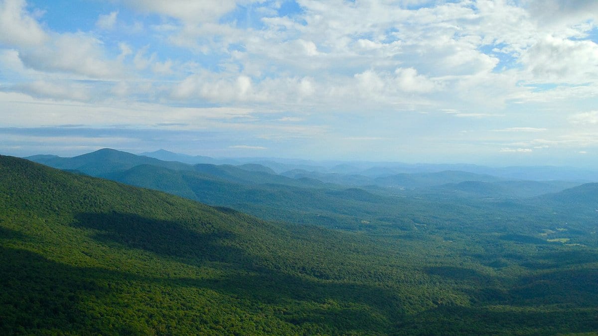
Mount Mansfield
Vermont's high point gives the Long Trail its most exposed ridge walking and its biggest weather decisions.
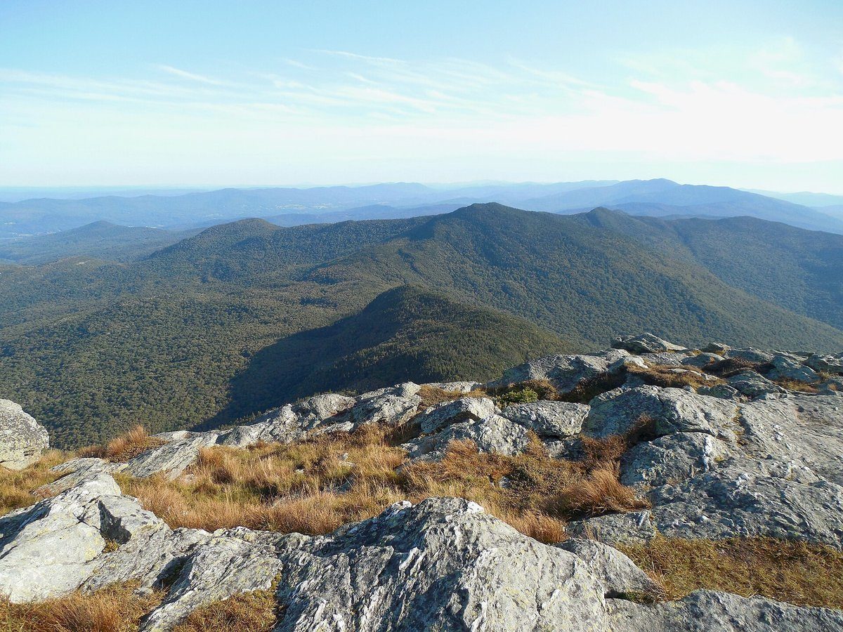
Camel's Hump
A protected alpine summit with a distinct profile and a serious reminder to stay on durable rock above treeline.
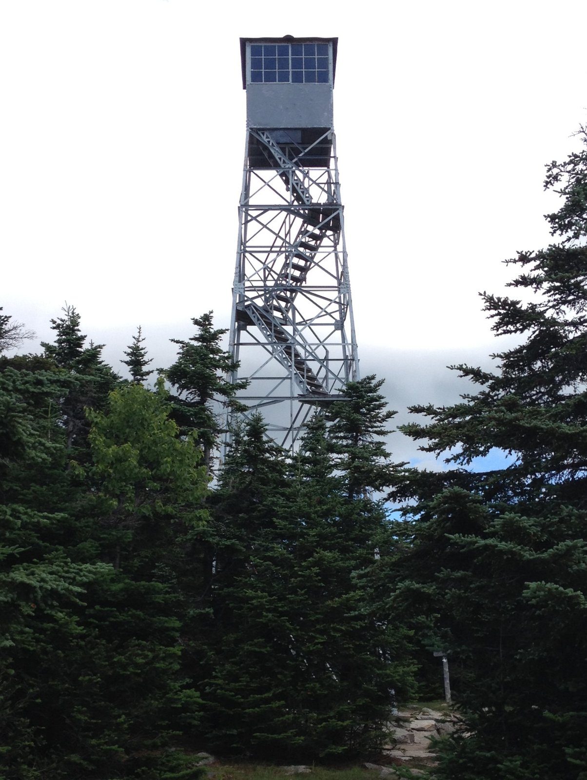
Stratton Mountain
A fire-tower summit tied to early Appalachian Trail history and one of the defining landmarks in the southern miles.
Hazards & safety
Hazards to plan for
Mud Season Closures
GMC and land managers close sensitive high-elevation trails during spring mud season when foot traffic can cause lasting damage. Check current trail updates before any late-spring trip and change plans if a section is closed.
Wet, Technical Footing
Roots, slick rock, boggy tread, and steep short climbs are normal Long Trail conditions. Slow your pace after rain and plan footwear around repeated wet days, not a best-case forecast.
Exposed Summit Weather
Camel's Hump and Mount Mansfield can shift from calm to windy, cold, or stormy quickly. Start high ridges early, watch the forecast, and be willing to wait out lightning or poor visibility.
Crowded Shelter Corridors
Shelters near major peaks and road crossings can fill during peak season. Carry a shelter system and know where legal tenting is allowed near each planned stop. GMC bans tenting above 2,500 ft (GMC, checked October 17, 2026).
Ticks and Wildlife
Blacklegged ticks are a real Vermont risk, especially at lower elevations and in brushy access corridors. Do nightly tick checks, store food responsibly, and give moose plenty of distance.
Retailer links on this page are affiliate links. We may earn a commission if you buy, and your price doesn't change. How affiliate links work →
Gear spotlights
What we’re recommending
For the water you'll filter
Water filter
Sawyer Squeeze
Long Trail water comes from springs and brooks near most shelters, and you treat all of it. The Sawyer Squeeze weighs 3 oz and screws onto common bottles. My review has the flow and the numbers.
Get one honest gear take every Friday.
One email a week: new reviews, one gear pick with my reasoning, and nothing sponsored. Confirm your address and you get my printable 2-page backpacking gear checklist.
You'll get a confirmation link first, and nothing else arrives until you click it. Every email has a one-click unsubscribe. How your email is handled
More from Trail Guides
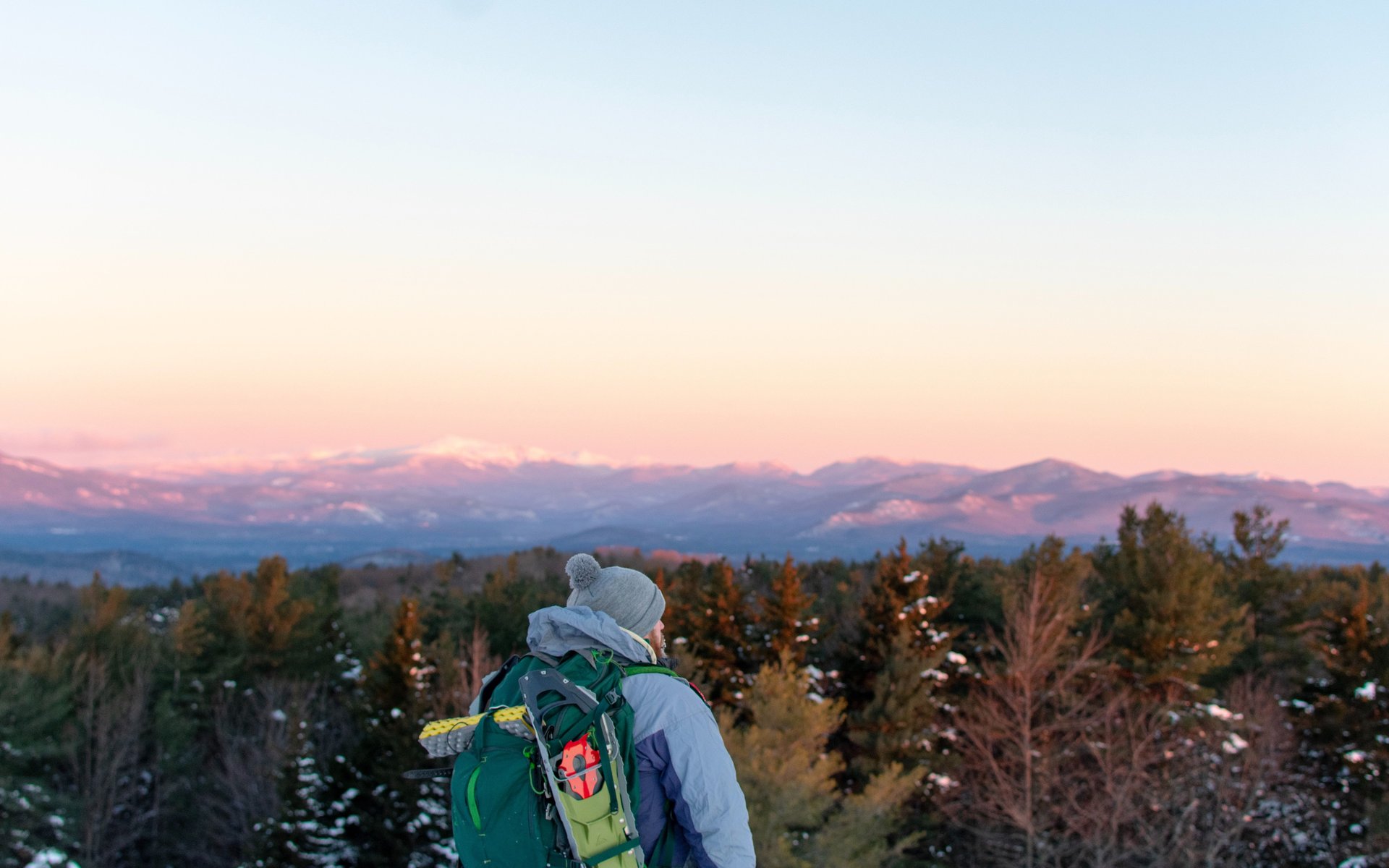
Appalachian Trail: A Backpacker's Full-Trail Planning Guide
Full-trail planning guide for the Appalachian Trail's 2,190+ miles from Georgia to Maine. Permits, ten contiguous sections, resupply, transport, gear, budget, and Helene recovery.
 Brooke Wilder
22 min read
Brooke Wilder
22 min read
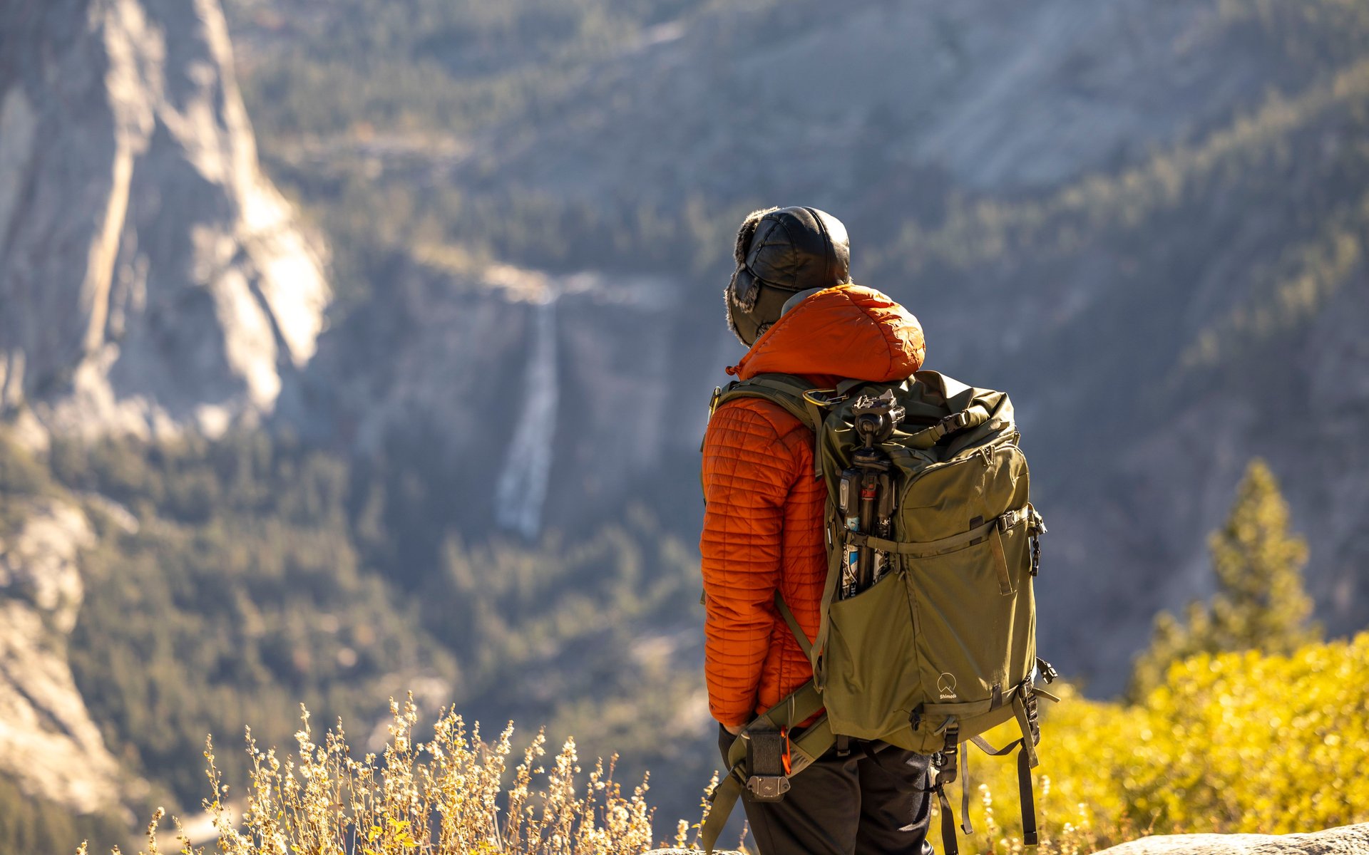
John Muir Trail: A Safety-First Planning Guide
Plan the John Muir Trail with verified permit, resupply, weather, altitude, and safety guidance for a Sierra thru-hike.
Brooke Wilder
29 min read
Lost Coast Trail Backpacking Guide
A tide-first guide to the Lost Coast Trail from Mattole Beach to Black Sands Beach, with permits, hazards, and route-planning basics.
Brooke Wilder
28 min read
Why trust BestForBackpacking
Honest gear advice for backpackers, researched, weighed, and recommended.
Every pick is based on deep research: a synthesis of long-term owner reports, independent reviewer tests, and manufacturer specs, weighted by source independence, specificity, and use-case match. Brooke Wilder is our gear editor, the editorial persona who turns that research into a clear recommendation.