Backpacking
Kings Canyon and Sequoia Backpacking Guide
Last updated: June 2026
A practical backpacker's guide to Kings Canyon and Sequoia, including permits, zones, Rae Lakes, Mineral King, season timing, bear canisters, and current 2026 conditions.
![]() By Brooke3 min read
By Brooke3 min read
Share this post
Send it to someone who's planning a trip.
Overview
Start with the zone
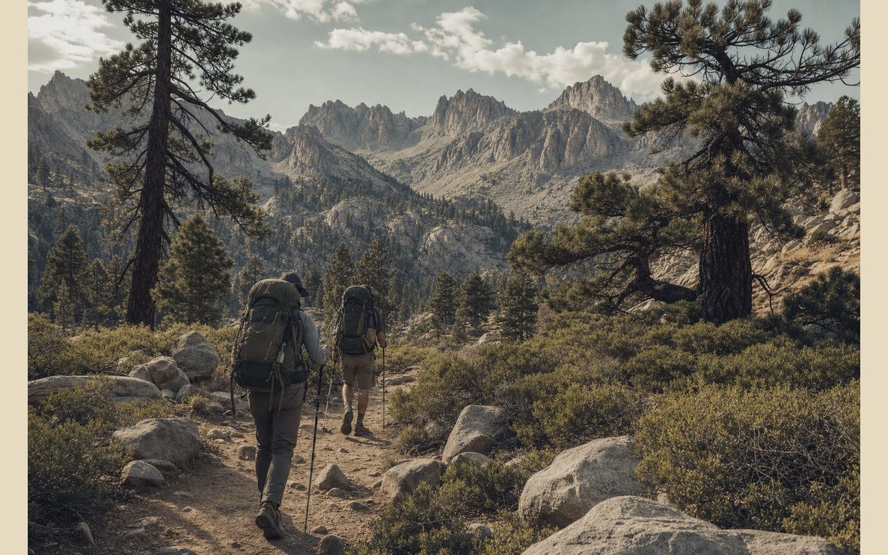
The right answer is not one itinerary. Rae Lakes is the obvious dream trip, Mineral King is the sharper-edged one, Lodgepole and the High Sierra Trail give you classic Sequoia access, and Grant Grove or Big Meadows can make more sense when you want a lower-commitment entry. Treat the parks as a set of backpacking zones, not a single route with one neat mileage number.
At a glance
Trail at a glance
Permits
Quota-season wilderness permit, Recreation.gov
Best for
2- to 5-day Sierra backpacking trips
Best season
Late July through September for high country
Bear storage
Plan on an approved bear canister
Current check
NPS alerts, trail conditions, and roads before leaving
Signature trip
Rae Lakes Loop, 41.4 miles
When to go
When to hike
Late July through September is the cleanest high-country window for most backpackers. May, June, and some July trips can still be shaped by snow, high water, or washed-out crossings, while late summer adds fire restrictions, smoke, and road-condition checks.
Permits & logistics
Permits & logistics
Permit
Quota-season wilderness permit
Use NPS and Recreation.gov as the final source before you book.
Pickup
Confirmation is not the permit
Build pickup time into your travel day, especially if you are driving in from the west side.
Food storage
Plan around a bear canister
Store scented items like food, sunscreen, toothpaste, soap, and trash the same way.
A good Sequoia and Kings Canyon plan starts with the entry point. Quotas are tied to where you enter, not just the park name, and the wilderness office you need depends on that choice. If your route touches Rae Lakes, Mineral King, or a named canister-required area, do not treat food storage as a last-minute gear call.
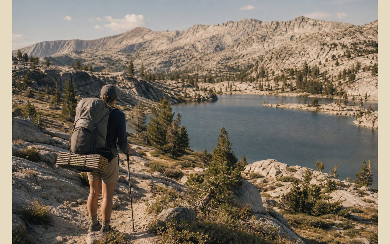
How to pack
How to pack your bag
Pack like the trip may get colder, wetter, and slower than the trailhead feels.
BRAIN
Permit, map, headlamp, sunscreen
Keep the permit, ID, map, water treatment backup, headlamp, and sun protection where you can reach them without unpacking at a ford or ranger check.
TOP
Layers for pass weather
A puffy, shell, gloves, and warm hat belong high enough to grab before Glen Pass wind, Mineral King storms, or a cold evening above 10,000 feet.
MIDDLE
Canister and dense food
Put the bear canister and heaviest food near your back. It is awkward, but it carries better there and keeps the rest of the pack from sagging.
BOTTOM
Sleep kit and camp pieces
Shelter, quilt, pad, and camp clothes can ride low as long as they stay dry. Add a liner or dry bag if thunderstorms are in the forecast.
Pick your zone first
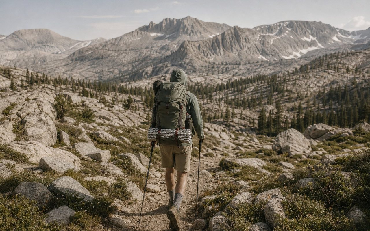
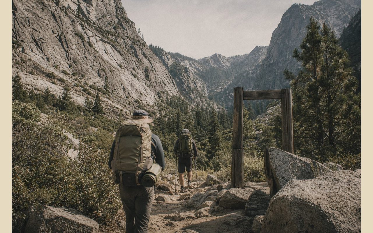
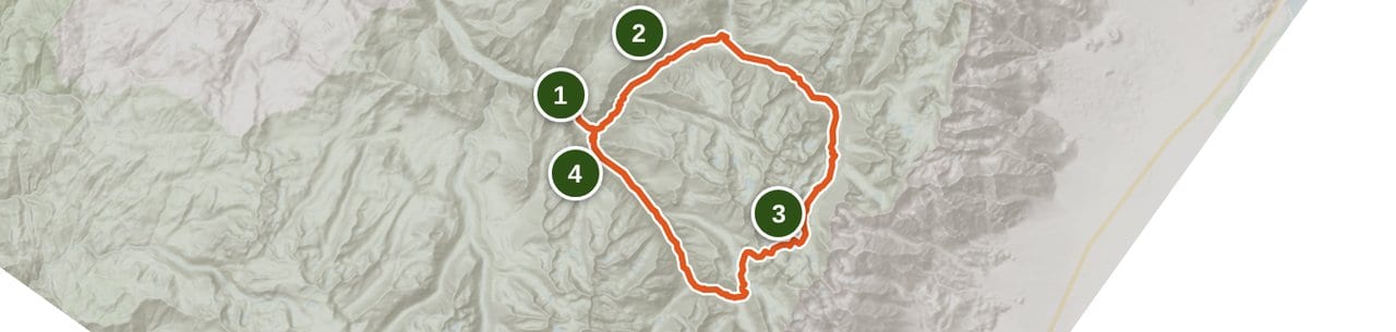
Choose the zone before you chase dates. Road's End and Rae Lakes are the classic Kings Canyon move, a 41.4-mile loop with Paradise Valley, Bubbs Creek, Glen Pass, and lakes that justify the permit chase. Lodgepole is better when you want services nearby and a more central Sequoia base. Mineral King is the one to pick when you want steep, remote country and you're willing to deal with a slow road, limited services, altitude, marmot season, and construction checks. Grant Grove and Big Meadows are the quieter planning doors, useful when high passes are not ready or you want a less famous start.
Permits are the trip
The permit is not paperwork you can fix in the parking lot. For 2026, quota season runs May 22 through September 26, and reservations are handled through Recreation.gov up to six months ahead. NPS says the confirmation letter is not the permit. You still need to pick up and validate the permit at the correct wilderness office, generally by 10:00 AM on your entry day unless late pickup is arranged. Walk-up spots start at 1:00 PM the day before a trip.
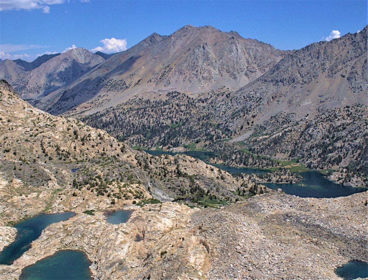
Rae Lakes is not casual
Rae Lakes earns the hype, but it is not casual. NPS lists the loop at 41.4 miles from Road's End, with Glen Pass at 11,978 feet and trailhead elevation around 5,035 feet. The 2026 condition that matters is the South Fork Kings River bridge above Paradise Valley. It is washed out, replacement construction will not begin before 2027, and the current crossing was reported waist deep, swift, and cold in late May. That changes the risk profile for early-season trips.
Mineral King is its own problem
Mineral King is a different animal. The area sits roughly 7,800 to 14,000 feet, reached by a narrow, steep, winding road from Highway 198, with no gas or electricity in the remote area. NPS warns RVs and trailers are not a good fit there, and spring through mid-summer brings the famous marmot problem: they can damage hoses and wiring if you park without precautions. Add possible road work through 2027 and this becomes a trip that rewards patience more than spontaneity.
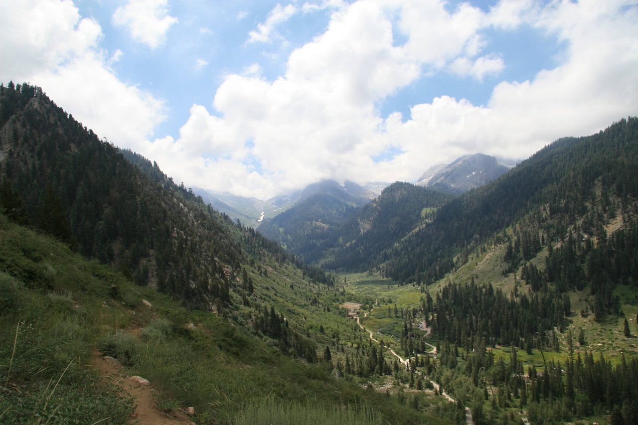
Season is a moving target
Plan the season with a snow map in your head. May and early June can mean high water in Kings Canyon. Glen Pass may remain impassable to hikers until mid-to-late July, and Mineral King passes can hold snow into early summer. Late summer is usually easier for crossings and passes, but fire restrictions, smoke, and road closures can move the goal posts. Check NPS alerts, trail conditions, and road conditions again before you leave.
Food storage is not optional
Bring a bear canister unless your exact permit office tells you otherwise. NPS requires approved portable animal-resistant containers in several named areas from May 1 through October 31, including the Rae Lakes Loop, Dusy Basin, North Dome, Rock Creek, and Pear and Emerald Lakes. The safer reader move is to plan around a canister for most backpacking itineraries in these parks. Counter-balancing is not a backup plan here.
Who should skip it
Skip this destination if you need a frictionless first trip. Kings Canyon and Sequoia reward backpackers who can handle altitude, changing conditions, permit deadlines, and a little uncertainty. If you cannot carry a canister, cannot risk a cold ford, or need an easy road approach, choose a lower-commitment Sierra trip first. You can come back when the plan has room for the parks to be themselves.
Trail breakdown
Trail breakdown
Road's End and Rae Lakes
This is the classic Kings Canyon backpacking trip: Paradise Valley, Bubbs Creek, Glen Pass, and Rae Lakes in one quota-managed loop. It is also the route with the most important 2026 caveat. The South Fork Kings River bridge above Paradise Valley is washed out, and NPS reported the current crossing as waist deep, swift, and cold in late May.
Lodgepole and High Sierra access
Lodgepole is the practical Sequoia base if you want services, acclimatization, and access to classic high-country routes without committing to Mineral King's road. It is still Sierra terrain. Snow, storms, and permit logistics matter even when the frontcountry feels easy.
Mineral King
Mineral King is remote, steep, and less forgiving than it looks on a map. The road is narrow, steep, winding, and unpaved in places, with no gas or electricity in the remote area. Before August, marmots can damage parked vehicles, so follow current NPS parking precautions.
Grant Grove and Big Meadows approaches
These approaches can make sense when the high passes are not ready, when you want a quieter entry, or when the permit calendar for the famous routes is ugly. They are not consolation prizes. They are better choices for backpackers who want a shorter trip and less pressure to make a single iconic loop work.
Highlights
What you’ll remember
Rae Lakes
The high-demand centerpiece for backpackers who want the classic loop, big lake basins, and Glen Pass in one trip.
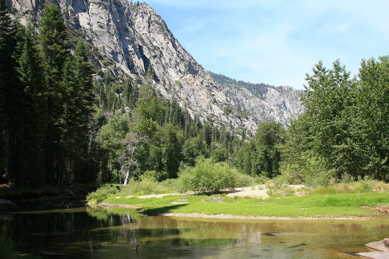
Paradise Valley
A Kings Canyon corridor with strict campsite limits and the current South Fork Kings River bridge issue above it.
Mineral King
Remote Sequoia high country with a slow road, marmot precautions, and steeper logistics than the main corridors.
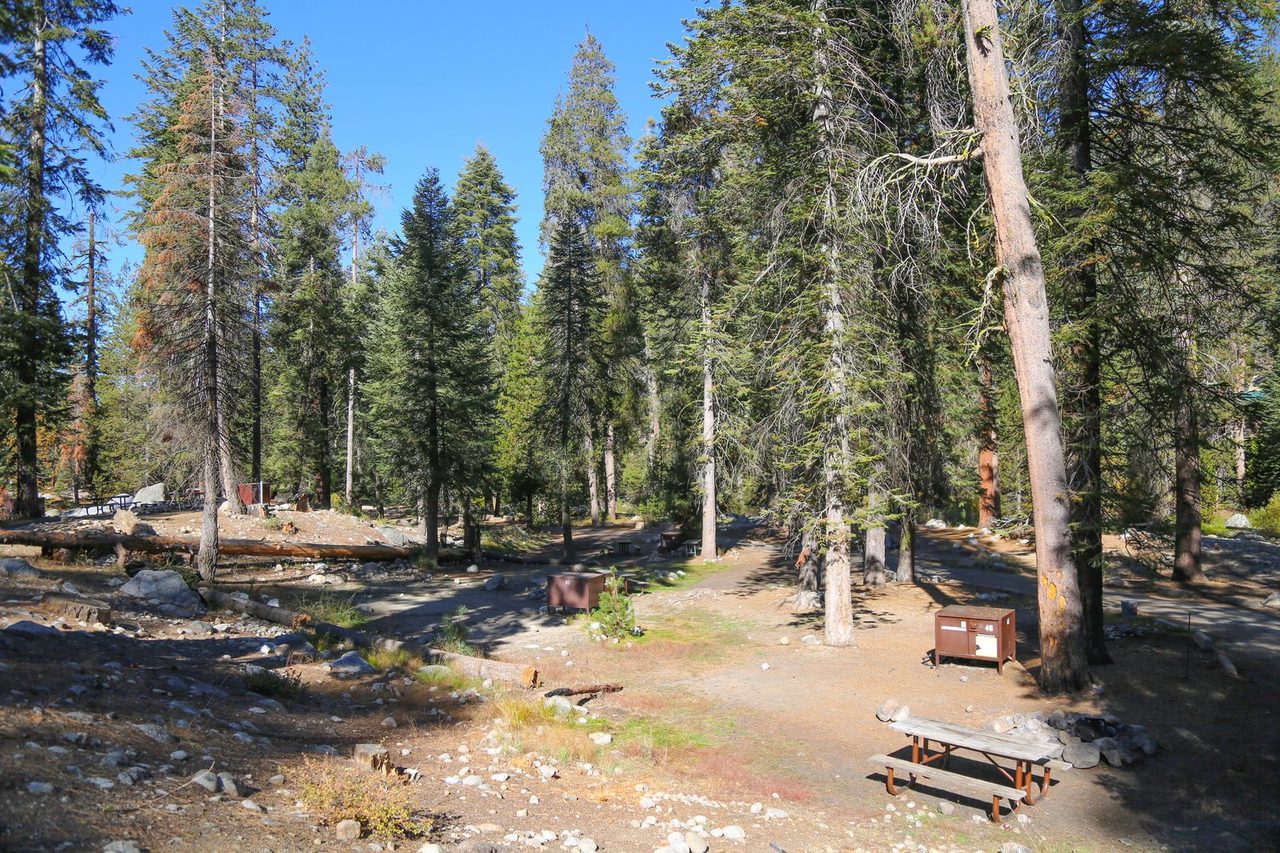
Lodgepole
The service-adjacent Sequoia base for acclimatization, staging, and classic High Sierra access.
Hazards & safety
Hazards to plan for
Washed-out South Fork Kings River bridge
The bridge above Paradise Valley is washed out, and replacement construction is not expected to begin before 2027. Treat the ford as a serious condition-dependent decision, especially in May, June, and after warm spells.
Late snow and high passes
Glen Pass may be impassable to hikers until mid-to-late July, and Mineral King passes can hold snow into early summer. Do not use the calendar alone as your green light.
Bear storage rules
Plan to carry an approved bear canister unless your exact itinerary and permit office clearly say otherwise. Food, trash, toiletries, sunscreen, and other scented items all count.
Road closures and fire restrictions
As of June 11, 2026, NPS alerts listed Stage 1 fire restrictions plus Middle Fork Road and South Fork Road closures. Road and fire status can change before a trip.
Mineral King vehicle damage
Spring through mid-summer marmots may damage hoses and wiring. NPS recommends protective parking steps for longer visits, especially before August.
Resupply
Resupply points
| Stop | Mile | Services | Days to next |
|---|---|---|---|
| Road's End / Cedar Grove staging | 0 for Rae Lakes loop | Trailhead access and nearby frontcountry staging, verify seasonal services | Carry full loop food unless your route is different |
| Lodgepole area | Base area | Frontcountry services and campground staging when open | Route-dependent |
| Mineral King | Trailhead area | No gasoline or electricity in the remote area; nearest gas is Three Rivers | Carry full trip food |
Road's End / Cedar Grove staging
- Mile
- 0 for Rae Lakes loop
- Services
- Trailhead access and nearby frontcountry staging, verify seasonal services
- Days to next
- Carry full loop food unless your route is different
Lodgepole area
- Mile
- Base area
- Services
- Frontcountry services and campground staging when open
- Days to next
- Route-dependent
Mineral King
- Mile
- Trailhead area
- Services
- No gasoline or electricity in the remote area; nearest gas is Three Rivers
- Days to next
- Carry full trip food
Packing checklist
What to pack
Shelter
Sleep
Carry
Cook
Wear
Safety and nav
Get one honest gear take every Friday.
No spam. Just gear picks, packing lessons, and notes from this week's research.
Why trust BestForBackpacking
Honest gear advice for backpackers, researched, weighed, and recommended.
Every pick is based on deep research: a synthesis of long-term owner reports, independent reviewer tests, and manufacturer specs, weighted by source independence, specificity, and use-case match. Brooke Wilder is our gear editor, the editorial persona who turns that research into a clear recommendation.